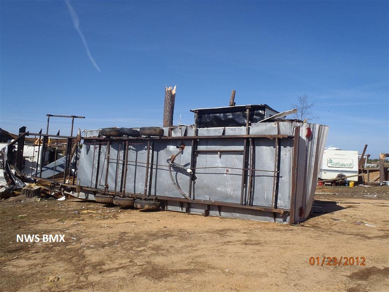
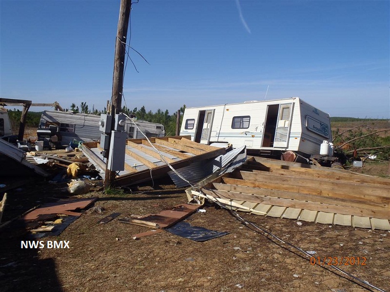
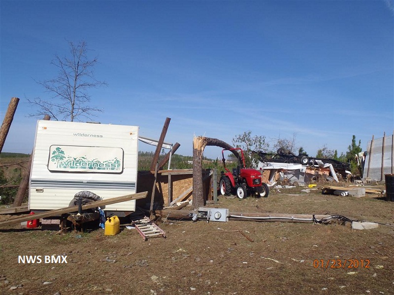
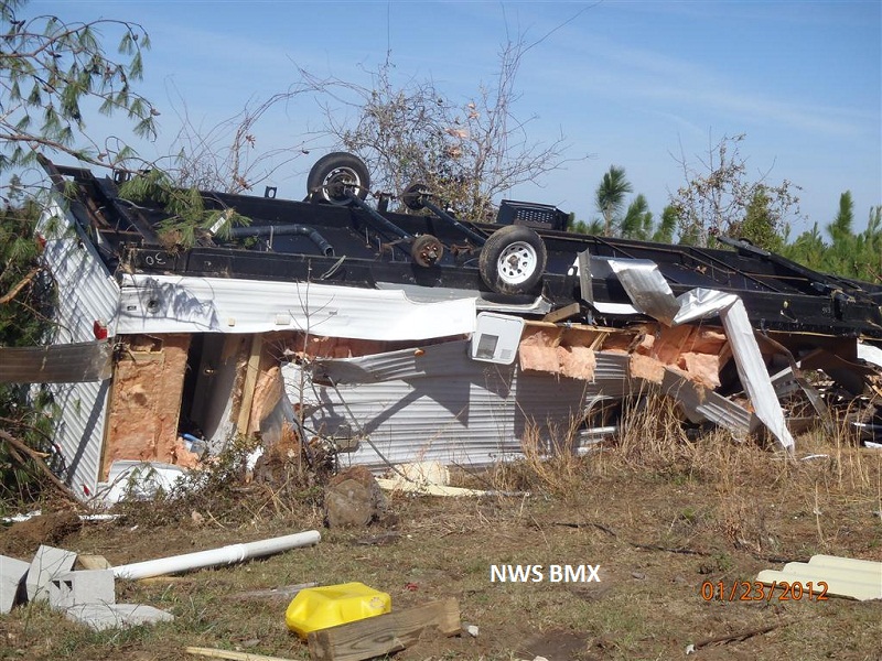
National Weather Service meteorologists have surveyed the damage just west of the Black Warrior River along Watermelon Rd and determined that it was the result of an EF-2 tornado. The tornado touched down about a quarter mile west of Watermelon Rd snapping and uprooting a few small pine trees. From there, the tornado traveled northeast and hit a hunting camp where approximately 20 small pine trees were snapped and 8 campers were rolled. Three of the campers were destroyed and the other five received differing degrees of damage. The tornado continued northeast crossing Watermelon Rd where it snapped 3 wooden H-frame transmission lines before lifting just to the east of Watermelon Rd. The tornado damage path was approximately 0.56 miles long and was 300 yards wide at its widest point.
Radar Data
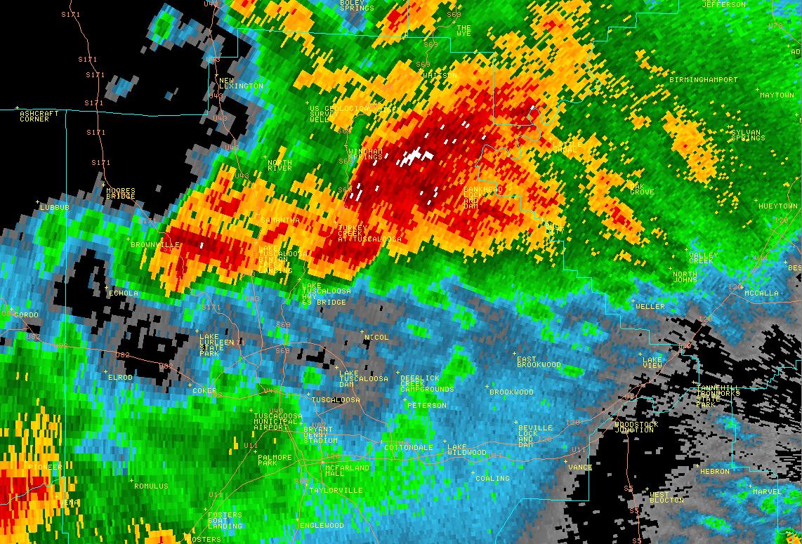
This is an image of the 0.5 degree reflectivity data from KBMX at 259 am just before the tornado touched down.
Click to enlarge.
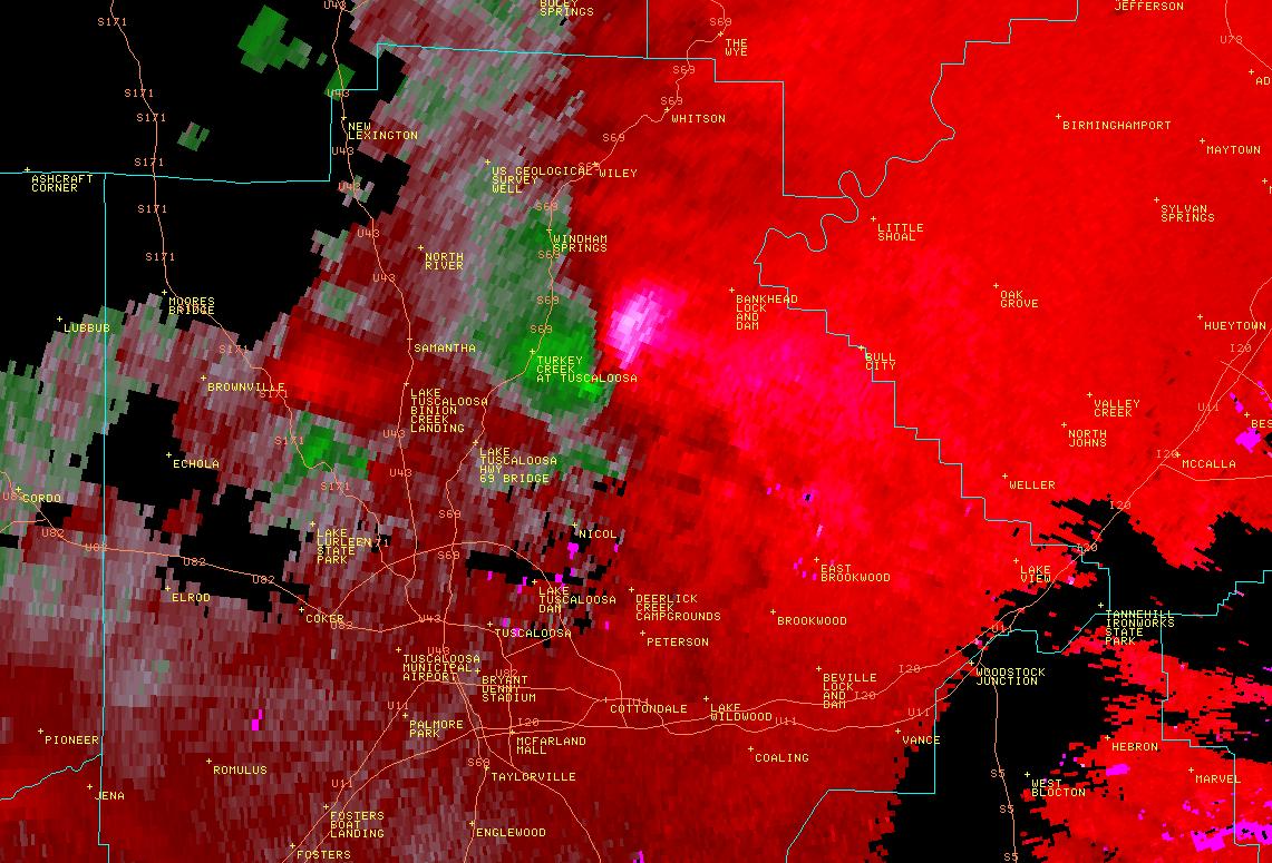
This is an image of the 0.5 degree velocity (SRM) data from KBMX at 259 am just before the tornado touched down.
Click to enlarge