|
Event Summary
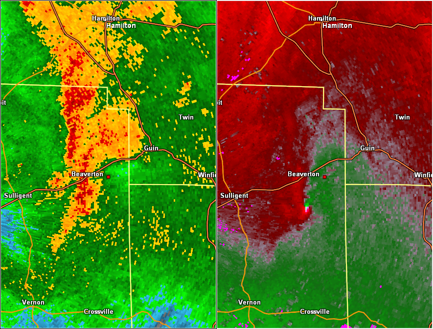
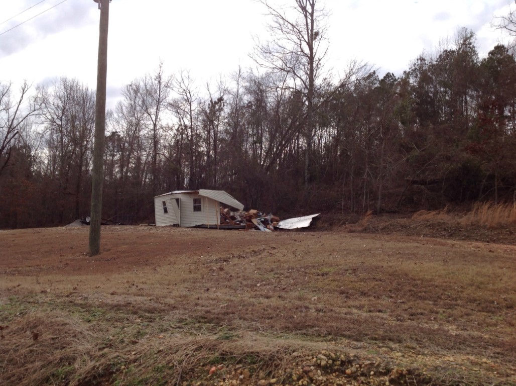
National Weather Service meteorologists surveyed damage in northern Lamar County and have determined that the damage is consistent with an EF-1 tornado. Winds were estimated to be around 105 mph.
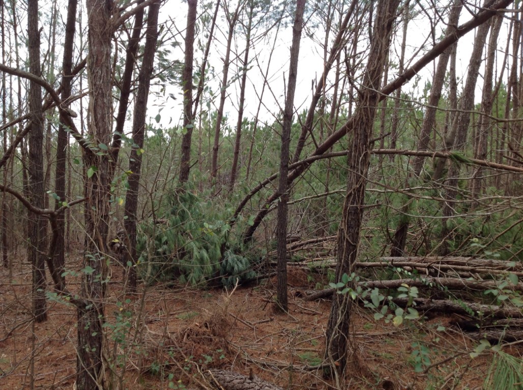
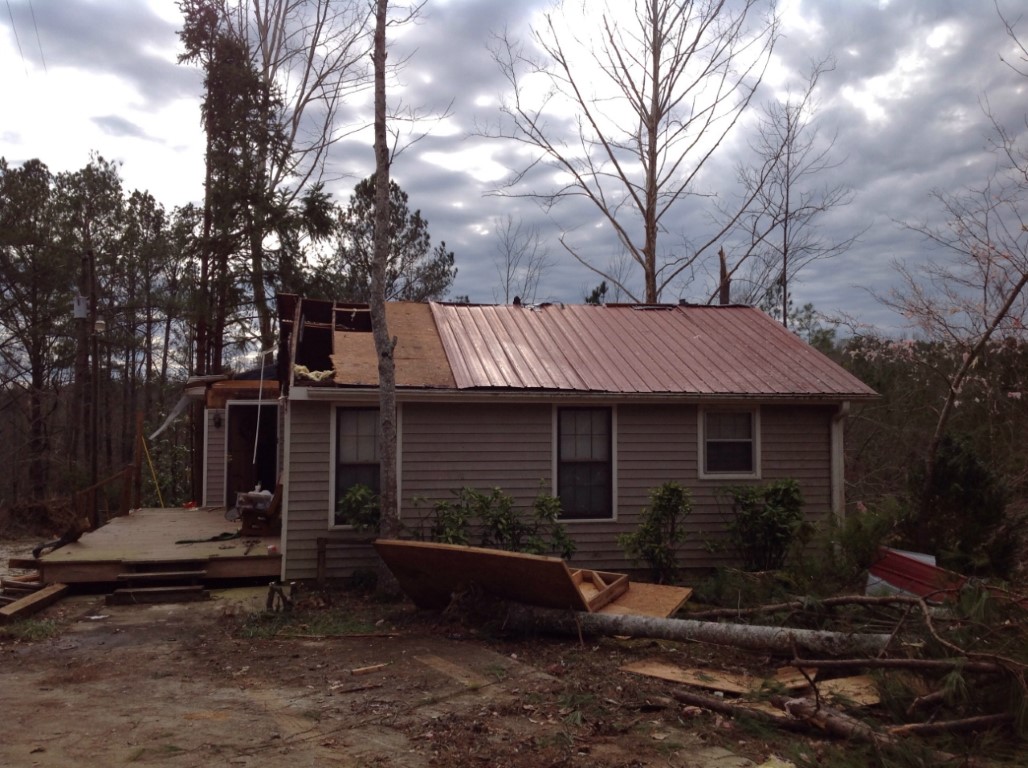
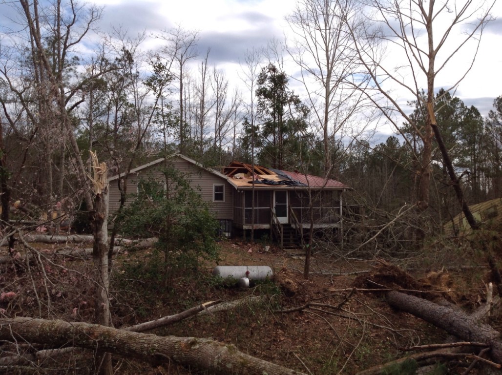
The tornado touched down along Christain Road near Taylor Springs Road. It moved north-northeast and caused major roof damage to one residence at the intersection of Pond Road and Garrison Road. From there, the tornado turned more to the northeast snapping and uprooting trees as it crossed County Road 49, Piney Grove Road, Pinewood Circle, and Turkey Branch Road. One residence on Pinewood Circle sustained minor shingle damage. The tornado continued northeast causing only tree damage until it lifted along Sorghum Hollow Road.
|