|
Event Summary
|
|
EF-2
|
|
Estimated Maximum Wind:
|
135 mph
|
|
Injuries/Fatalities:
|
8 Injuries / 1 Fatality |
|
Damage Path Length:
|
25.95 miles
|
|
Maximum Path Width:
|
1700 yards
|
|
Approximate Start Point/Time:
|
2 E Tishabee
32.6331/-87.9639
at 1:38 pm CST
|
|
Approximate End Point/Time:
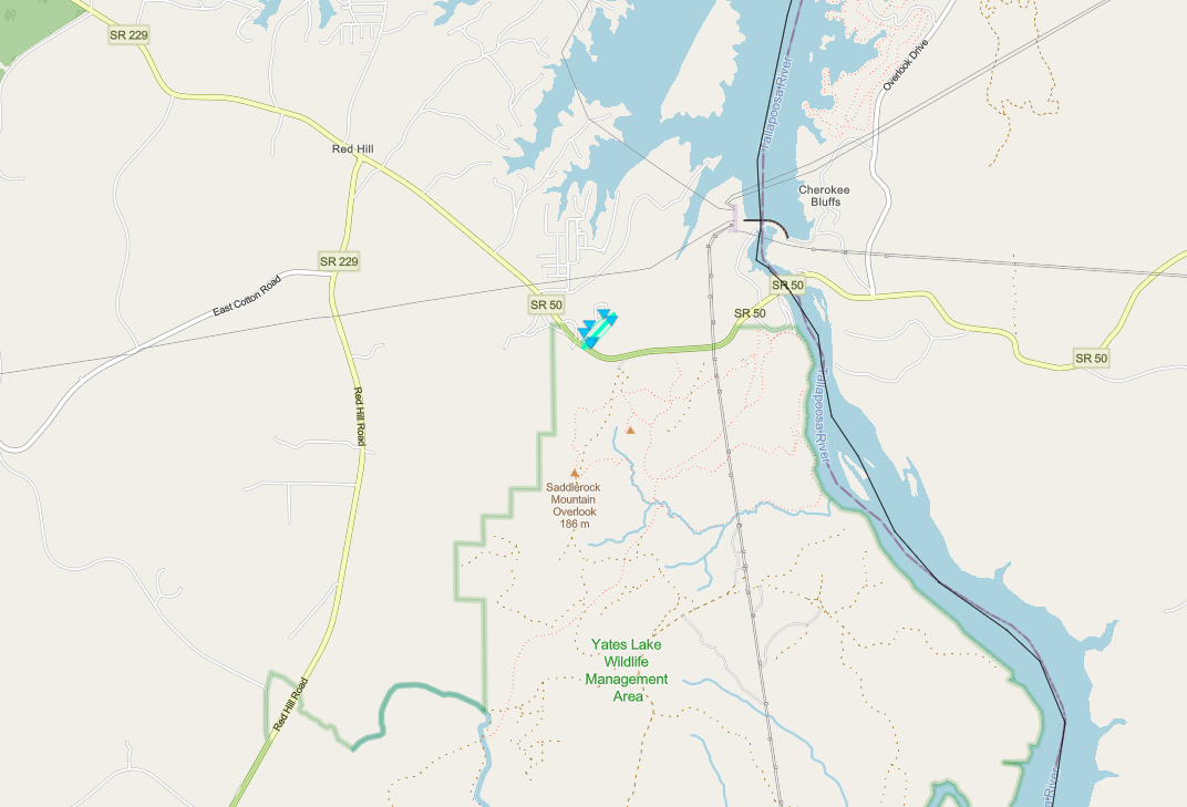
|
Harper Hill
32.8585/-87.6089
at 2:16pm CST
|
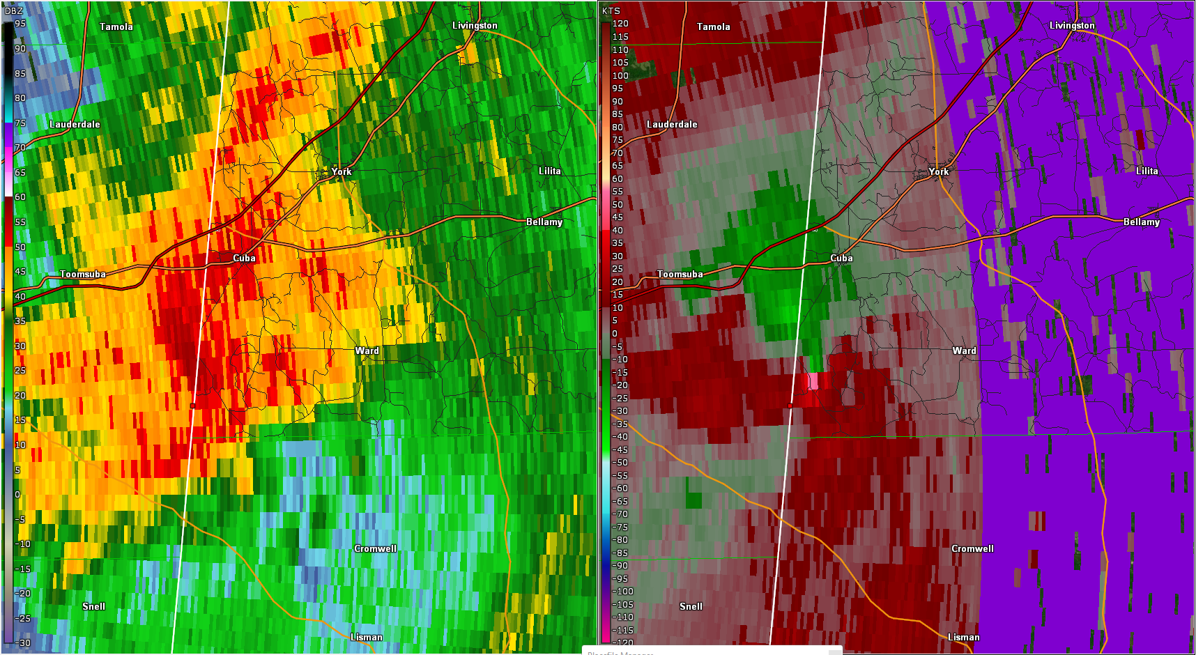
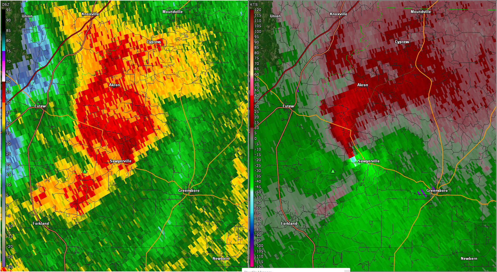
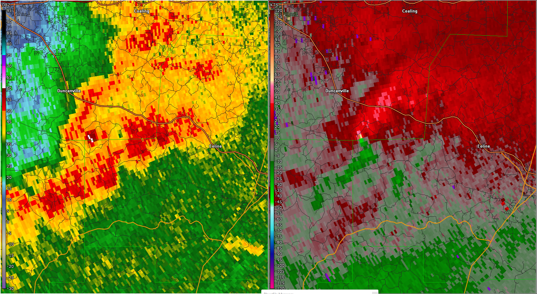
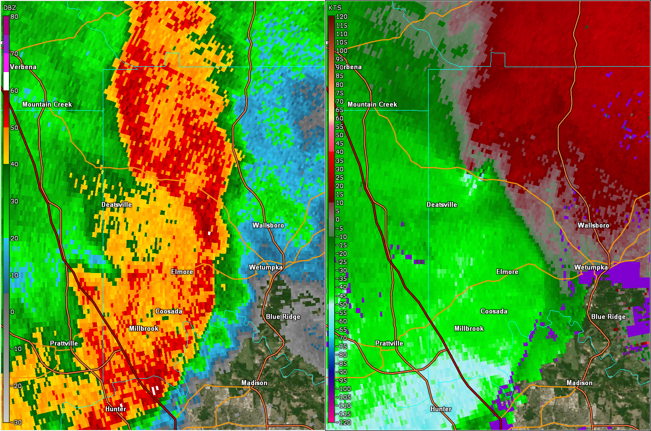
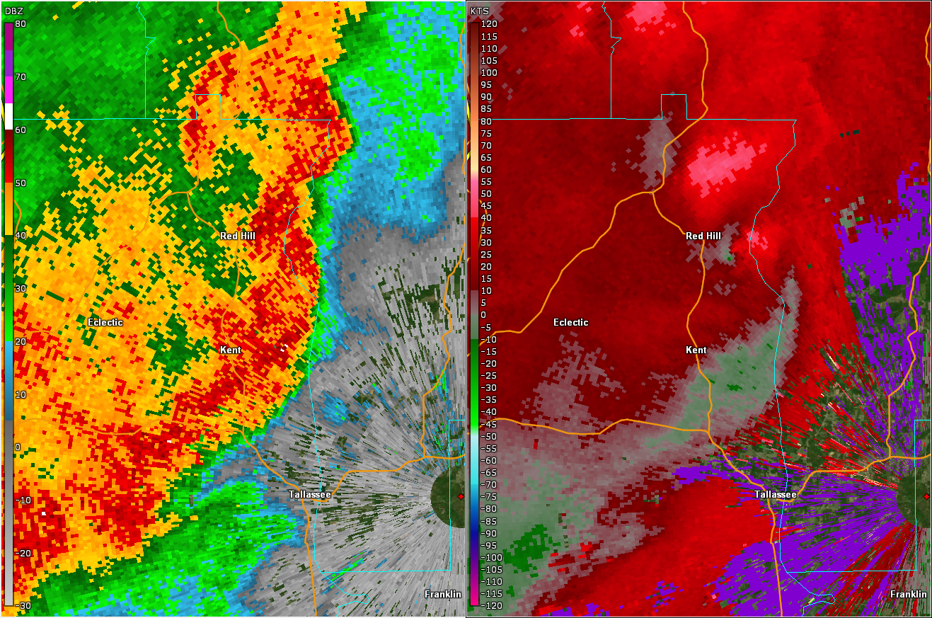
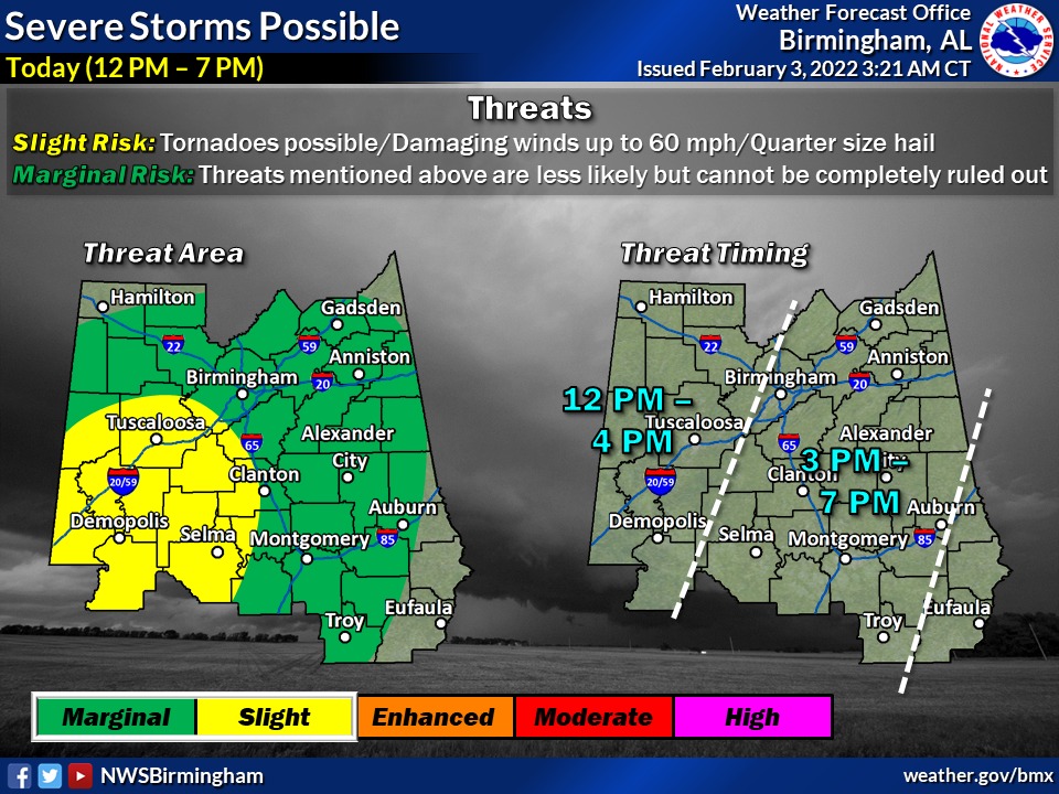
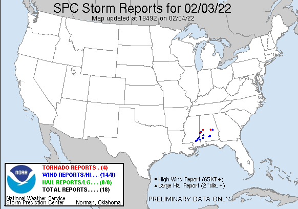
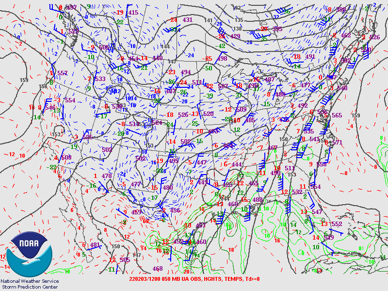
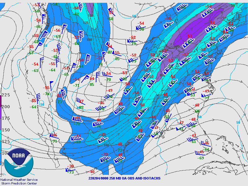
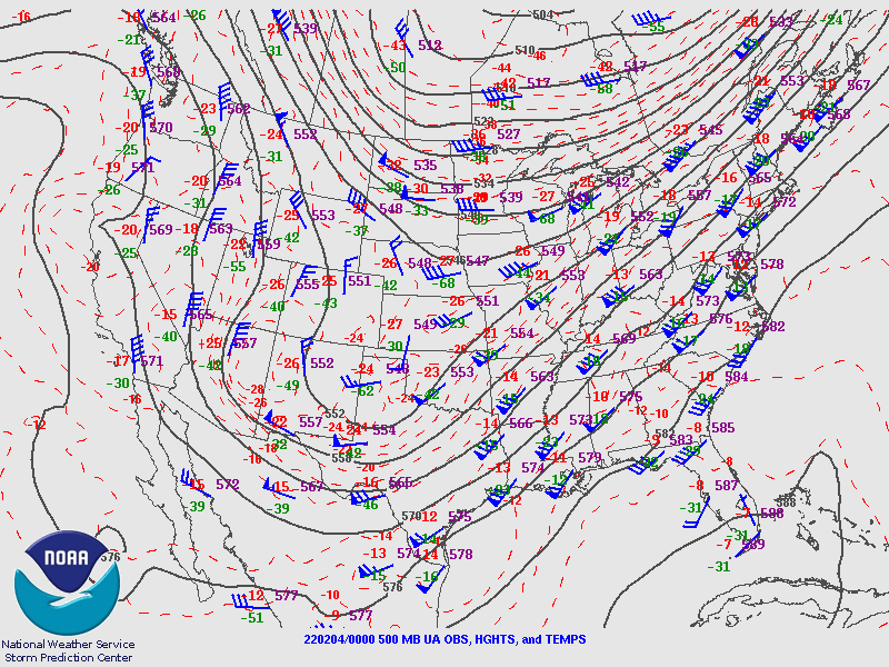
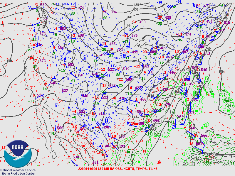
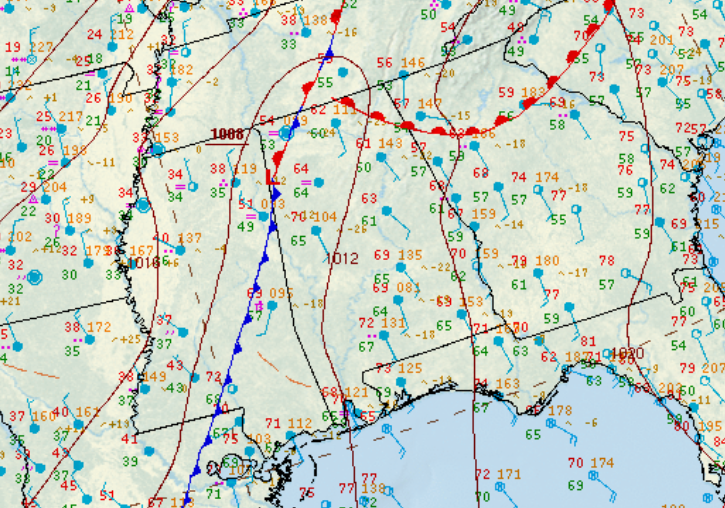
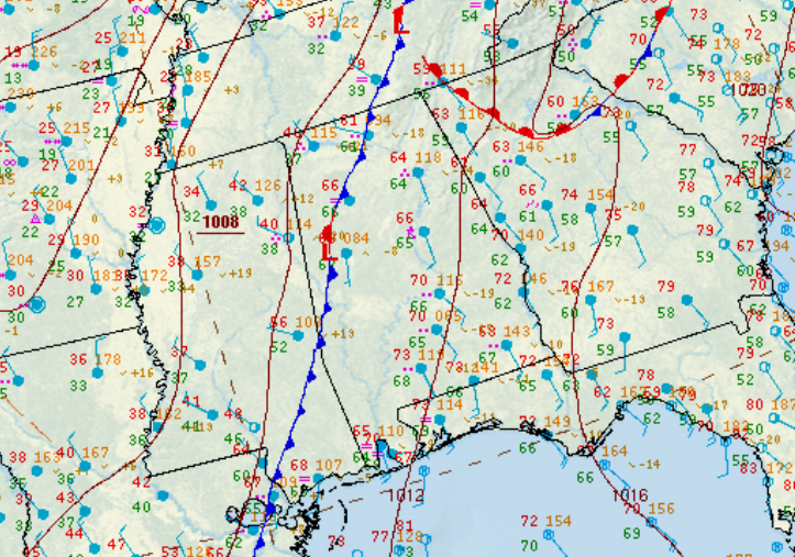
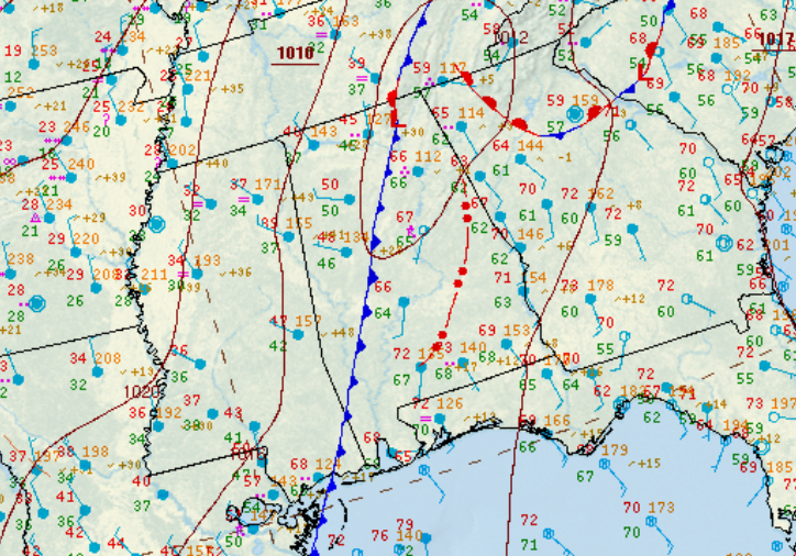
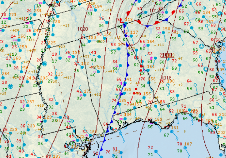
National Weather Service meteorologists surveyed the damage in southern Greene County northeastward into northern Hale County and determined it was the result of an EF-2 tornado.
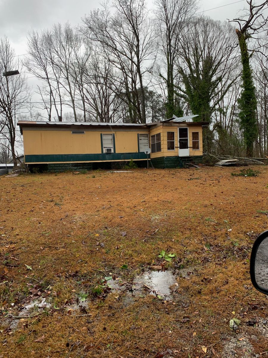
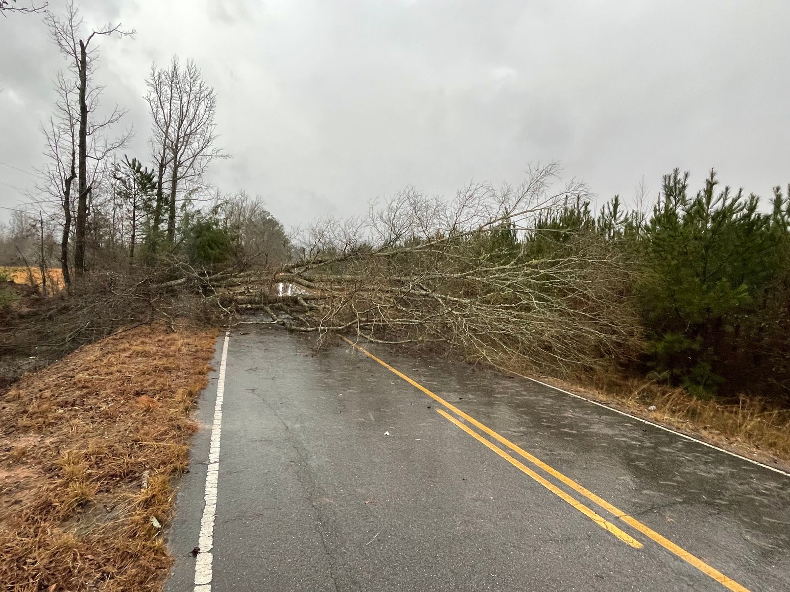
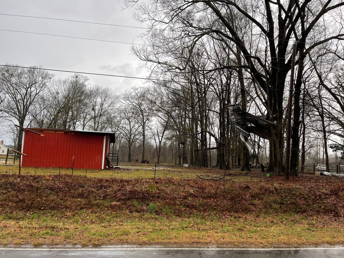
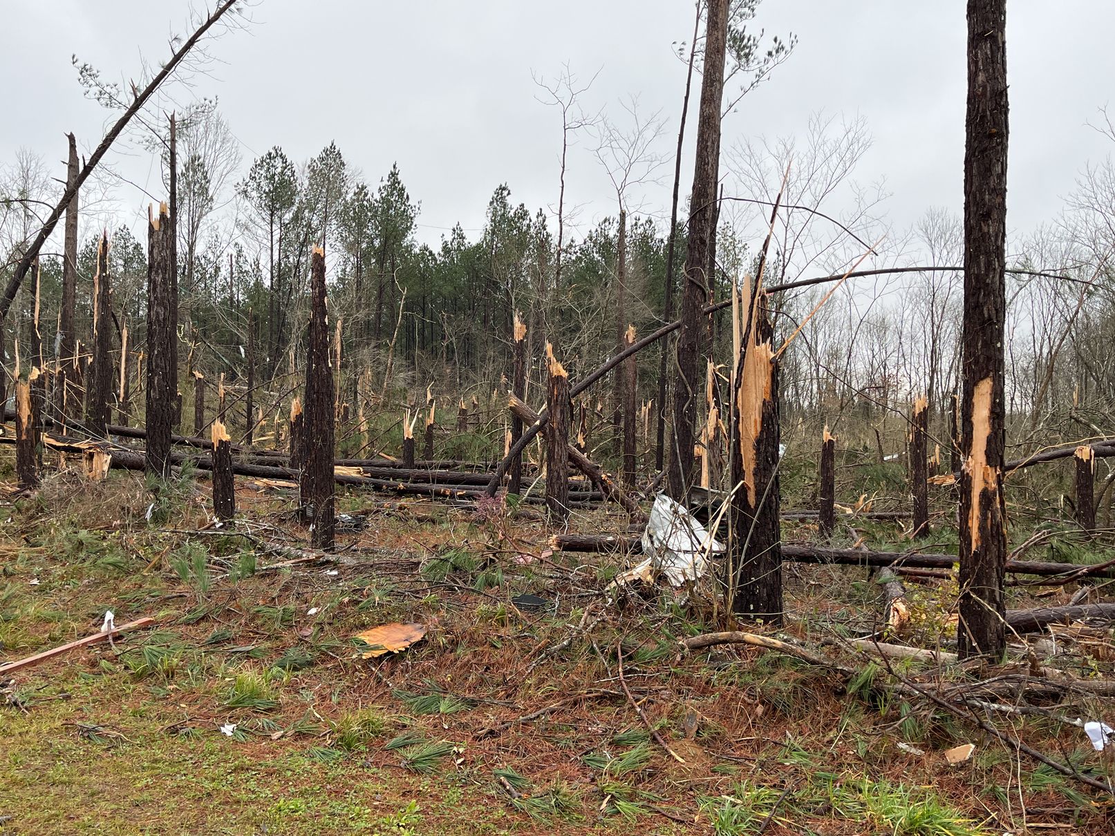
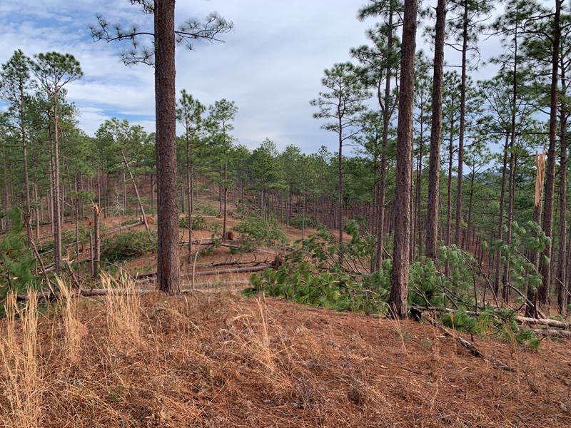
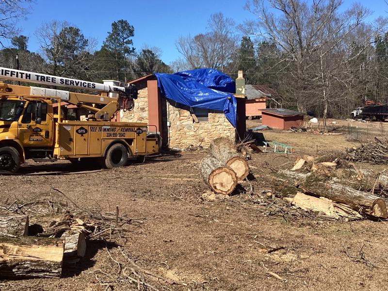
The tornado first touched down just south of Greene County Road 69 in the Charleston Swamp east of Tishabee and west of Riverwalk Road. The first damage produced was along CR 69, and was limited to trees damaging homes. Tree damage continued as the tornado moved off to the north-northeast, crossing AL HWY 43 before moving over inaccessible land between HWY 43 and the Black Warrior River.
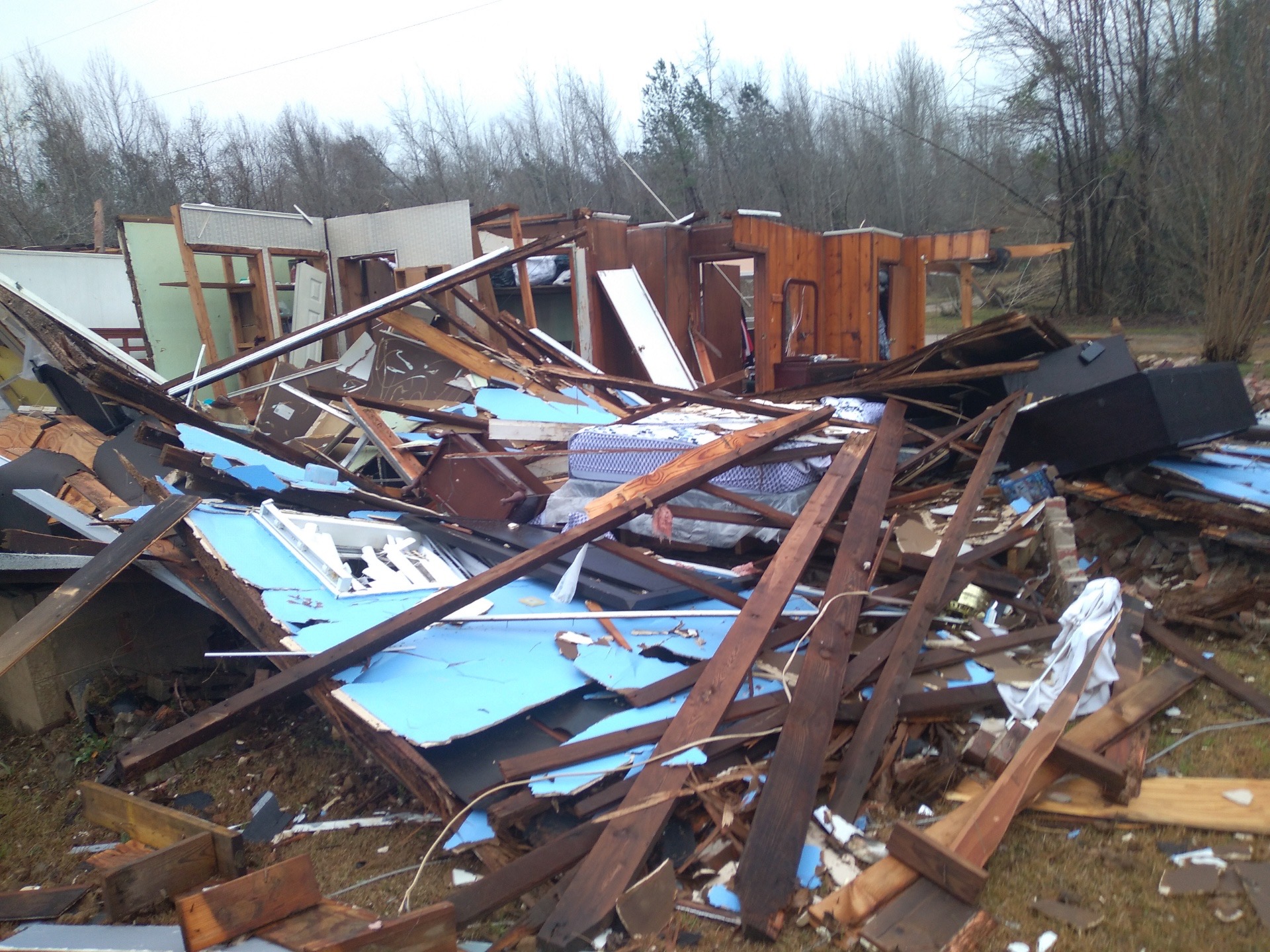
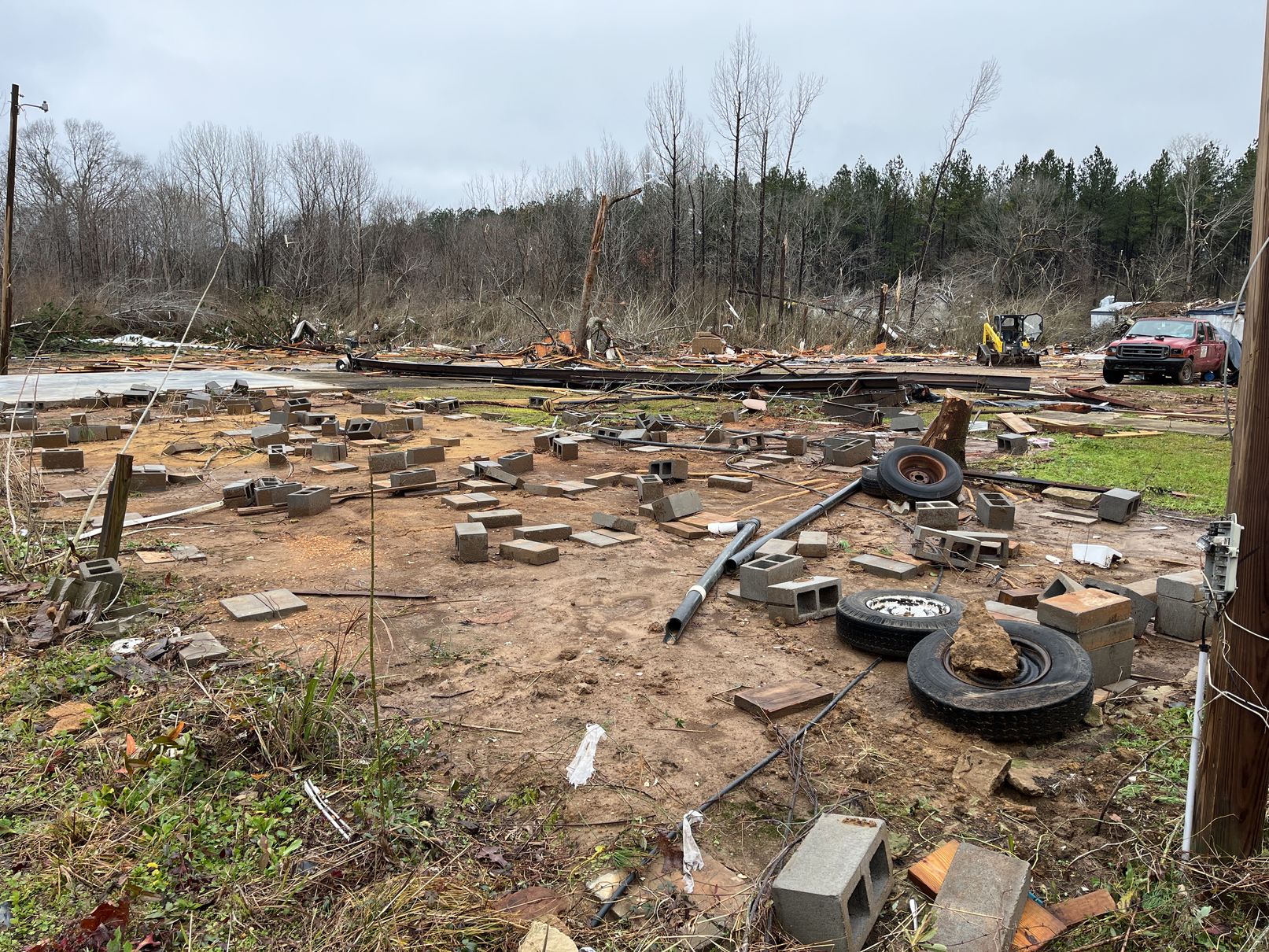
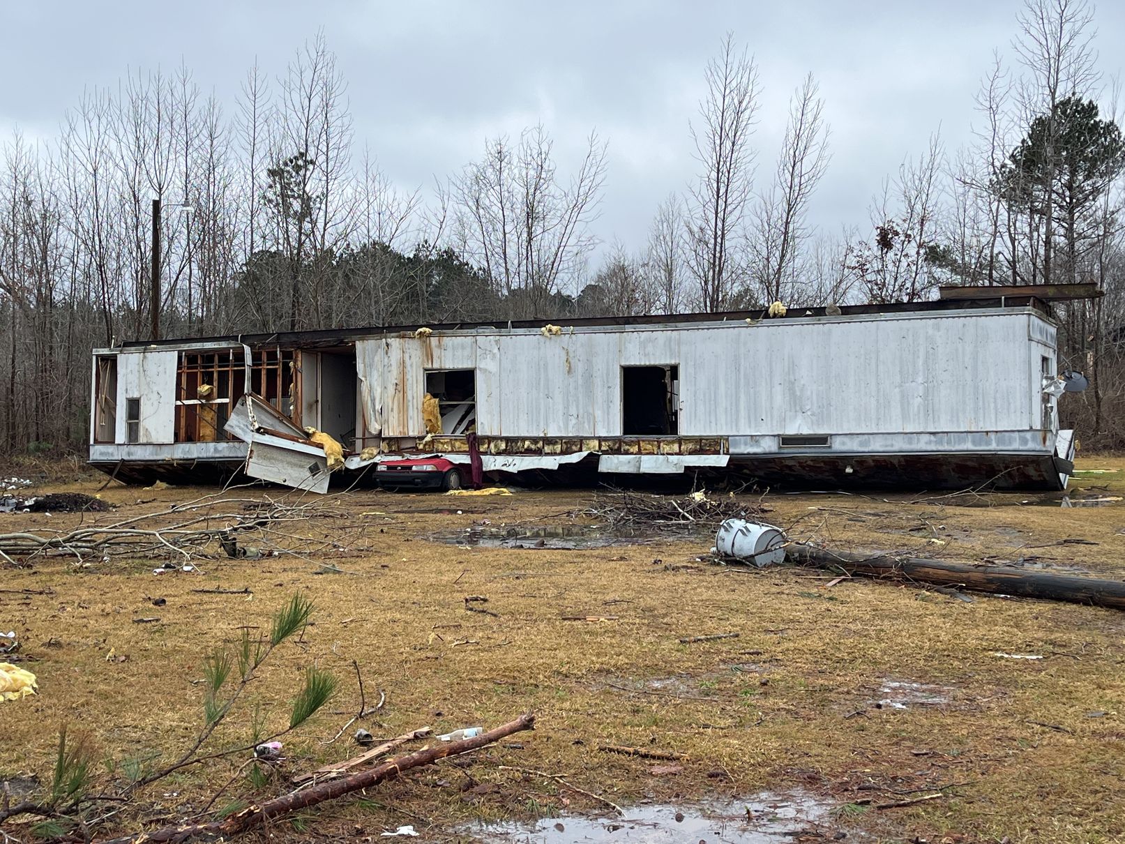
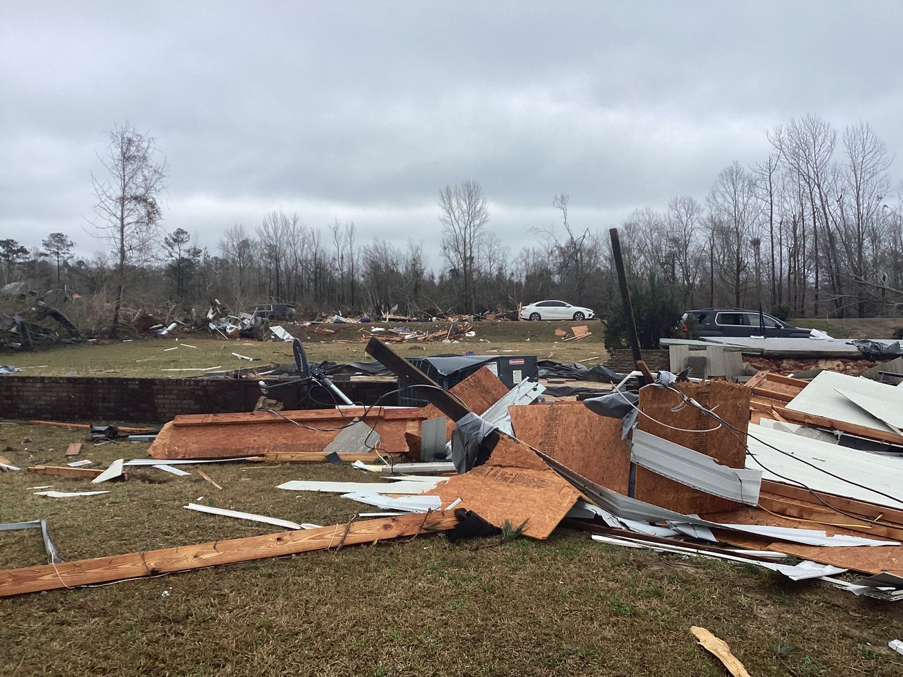
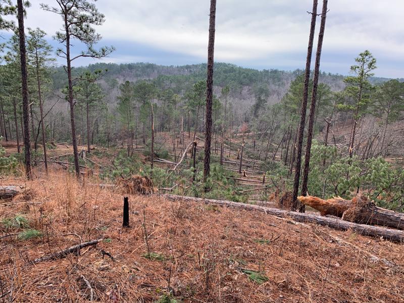
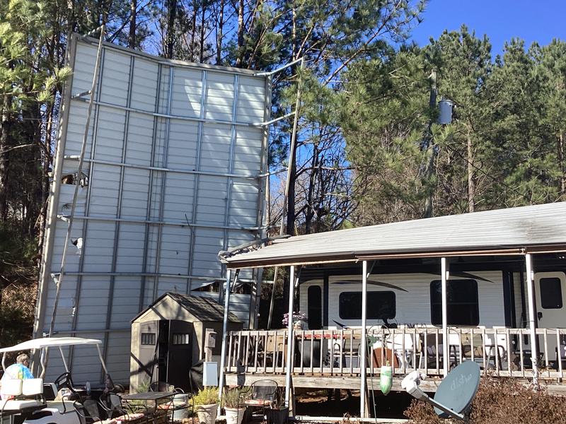
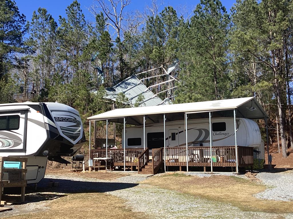
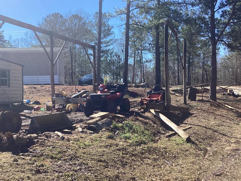
The tornado crossed into Hale County at approximately 1:53 PM and intensified, uprooting and mowing down hundreds of trees as it moved along Bass Lane near the Black Warrior. The tornado then moved along Mason Bend Road on a slightly diagonal angle uprooting and snapping numerous hardwood and softwood trees, damaging or destroying several manufactured homes, and causing a few minor injuries. One unoccupied single-wide manufactured home rolled over and landed upside-down on top of a car. From there it continued east-northeastward, crossing Erie Rd and CR 92 with slightly less intense damage to trees. As it approached AL HWY 14 just north of Sawyerville, several homes were damaged, and one double-wide was destroyed, causing several injuries. The tornado turned over a fish truck causing the load of fish to be scattered across the road, and it deposited two pickup trucks in a pond. The tornado continued east-northeastward snapping and uprooting trees as it crossed CR 17.
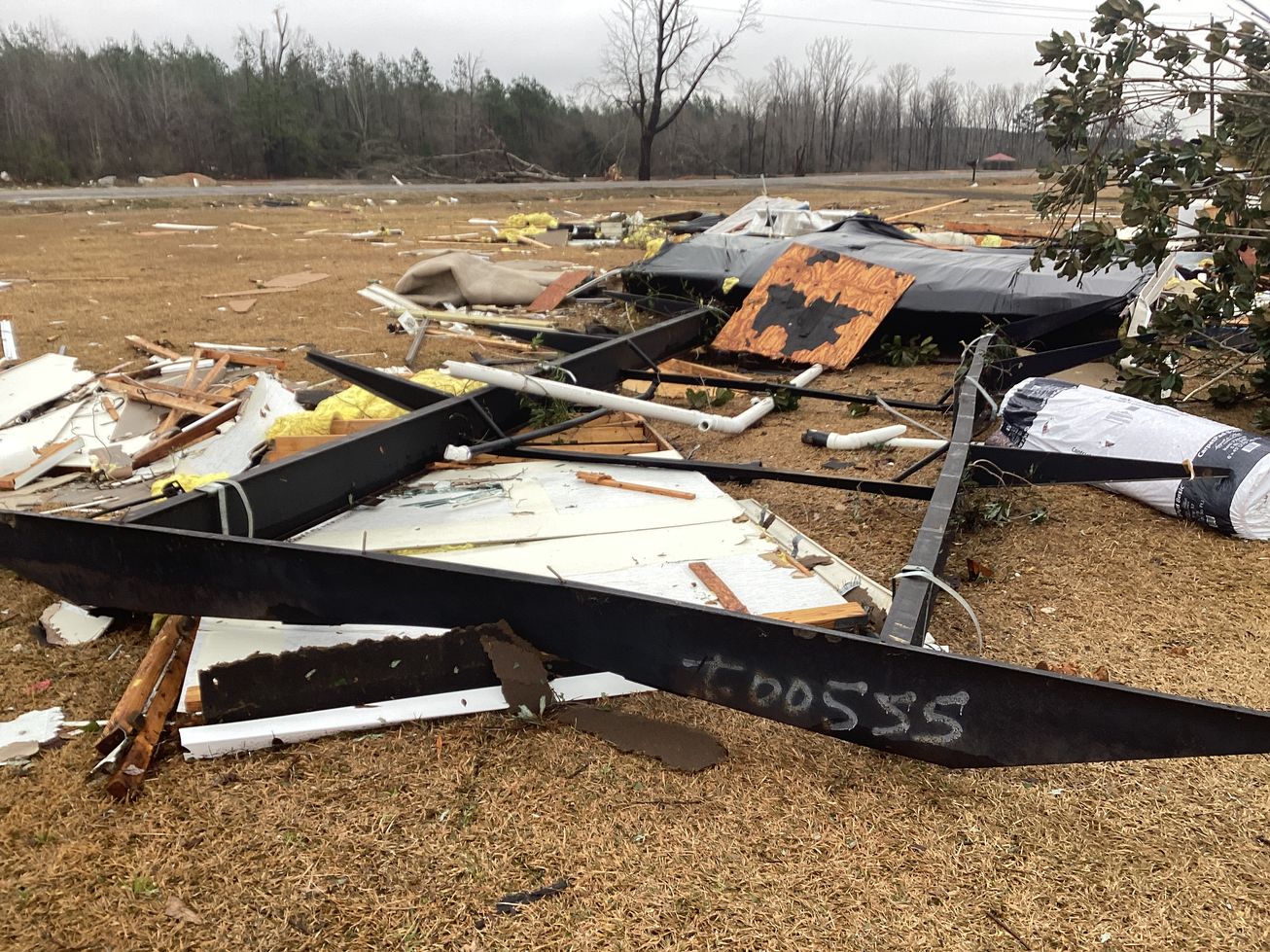
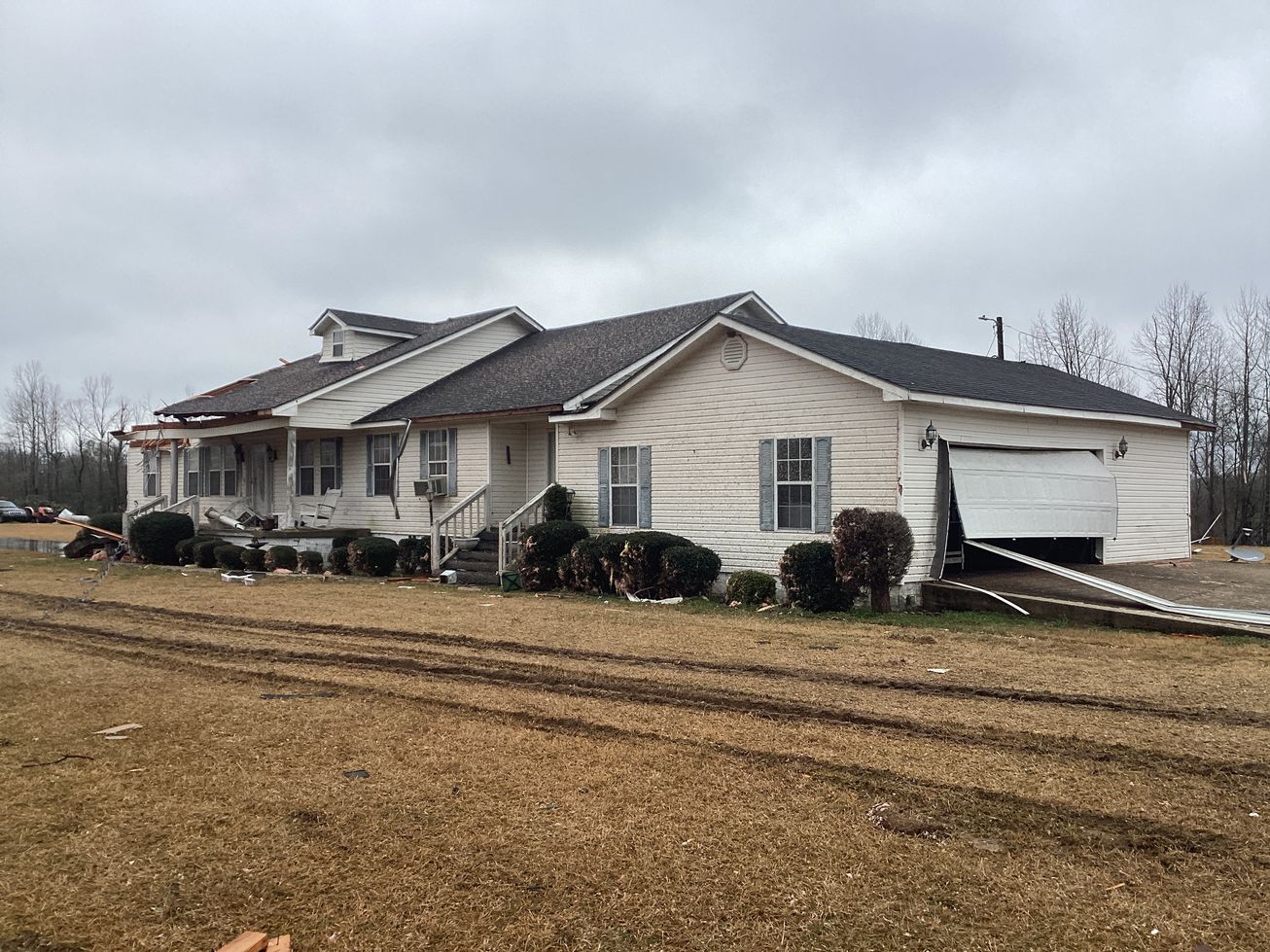
As it approached CR 30, the tornado reached its maximum intensity of about 135 mph. A double-wide manufactured home was torn from it`s anchors, lofted and tossed approximately 50 yards across the road, causing one fatality and 2 serious injuries. A site-built home diagonally across the street sustained significant roof damage and broken glass. A double-wide home a few hundred yards south of the first home was split in two, with one half of the home remaining anchored while the other half appeared to roll away. The tornado then crossed wooded land and pastures on either side of Big Brush Creek, before crossing CR 21, snapping and uprooting numerous trees along the road. Similar, but less consistent damage, continued as it crossed Raspberry and Hubbard Roads before moving over inaccessible woods and pastures along Five Mile Creek. The tornado continued to weaken as it crossed AL HWY 69 near Harper Hill, causing only sporadic tree damage. Based on radar data the tornado quickly dissipated past this point and may have continued a few hundred yards into woods somewhere between Harper Hills Road and CR 31.
|