|
Event Summary
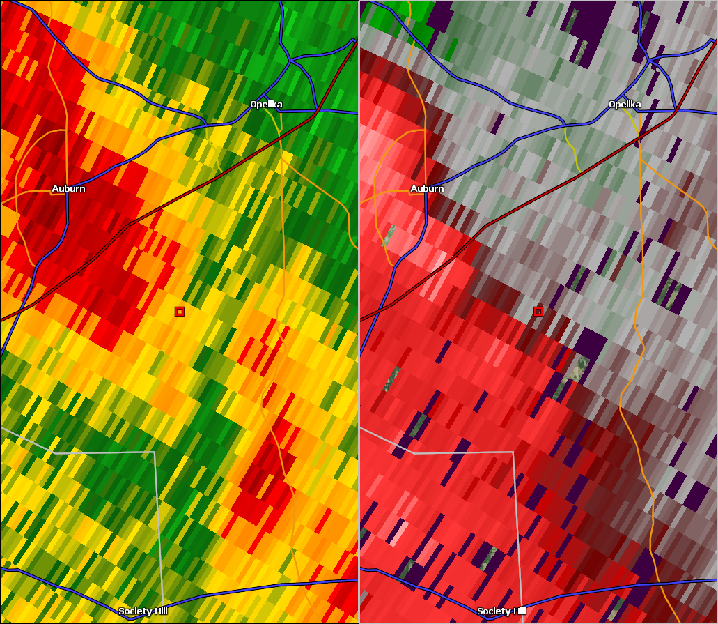
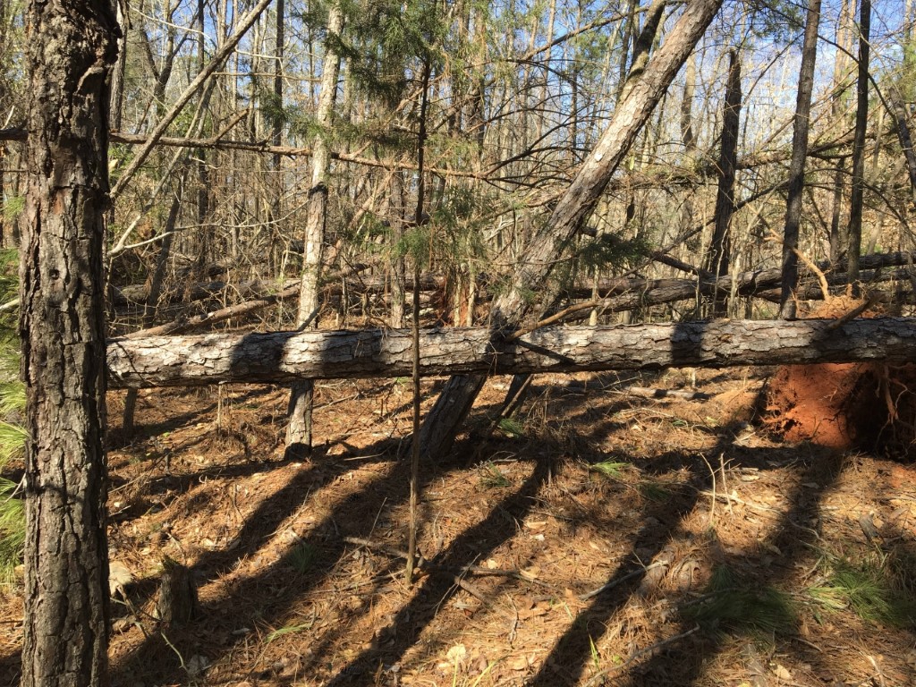
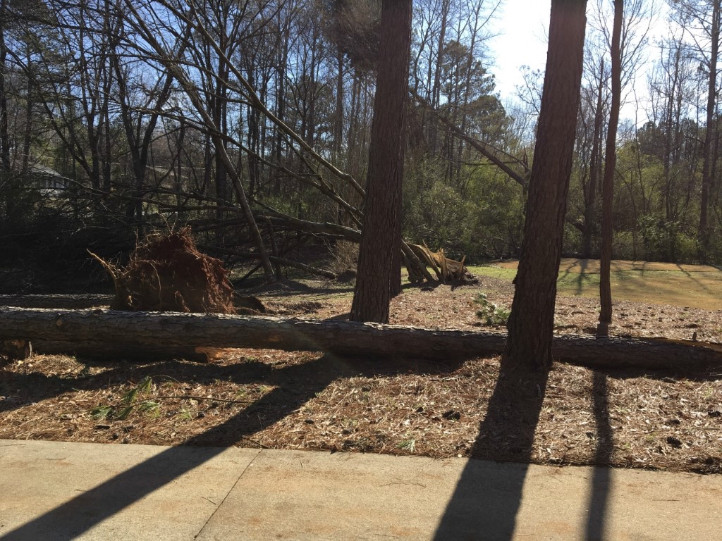
National Weather Service meteorologists surveyed damage south of Opelika that was consistent with straight line wind damage. Winds were estimated around 60 mph.
This swath of damaging winds began in a rural area just west of Society Hill Road and Nash Creek and continued northeast, crossing County Road 27 and County Road 957 before ending on Moores Mill Road. The damage consisted of mainly uprooted trees in which the pattern was divergent in nature but was inconsistent along the path. The swath was 1.19 miles long and was 150 yards wide at its widest point. The maximum winds were around 60 mph.
Thanks to Lee County EMA for their assistance with this survey.
|