National Weather Service United States Department of Commerce

Wehadkee Tornado - Randolph County - February 18, 2009


EF-1
Estimated Maximum Wind:
90 mph
Injuries/Fatalities:
None
Damage Path Length:
0.75 mile
Maximum Path Width:
500 yards
Approximate Start Point/Time:
33.2343/-85.2720 at 655 pm
Approximate End Point/Time:
33.2332/-85.2573 at 656 pm

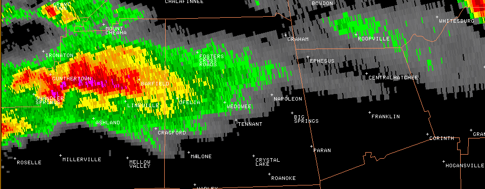
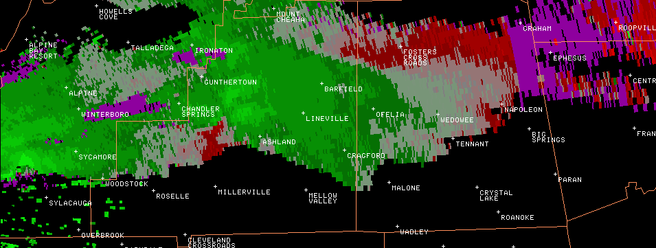
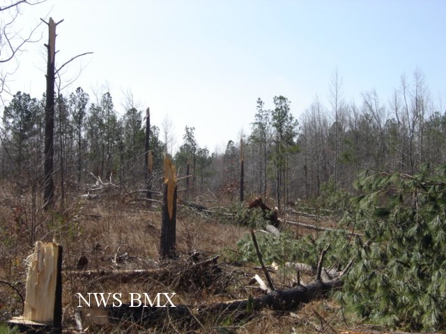
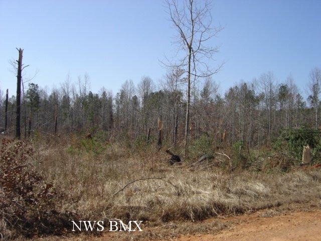
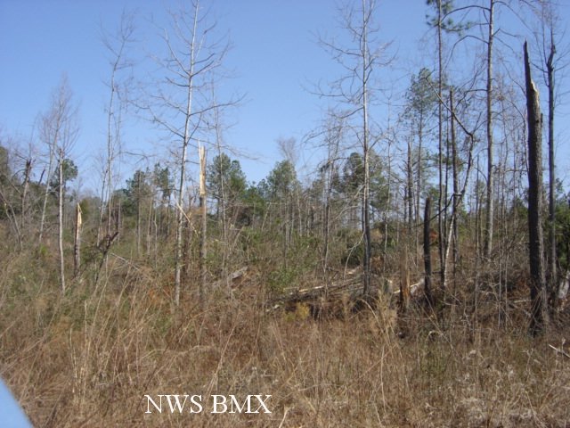
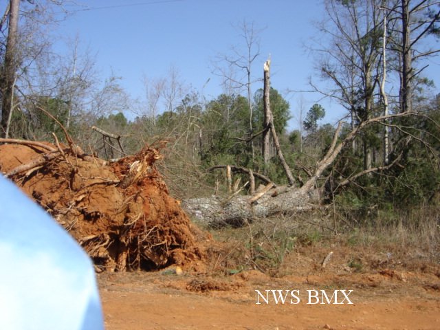
A National Weather Service Damage Assessment Team has surveyed the storm damage in Randolph County. It has been determined the damage was the result of a tornado. The tornado has been rated an EF-1 on the Enhanced Fujita Scale. Damage estimates were consistent with winds around 90 mph.

The tornado touched down in a forested area one-quarter mile west of County Road 296. This location is approximately 8 miles northeast of Roanoke. The tornado tracked east-southeastward for an additional three-quarters of a mile before lifting near the Georgia state line. No homes or structures were in the vicinity of the tornado. Several hundred trees were either snapped off or blown down along the path. The tornado damage path was 3/4 of a mile long and was 500 yards wide at its widest point. No injuries or fatalities were reported.

Hail was also reported with this storm. The hail was at least quarter size.


Damage Path

Damage Path    The top image is a KBMX 0.5 degree reflectivity loop. The pinks and purples indicate very high reflectivity and a sure sign of large hail. The storm also exhibits a hook echo in Clay County and then wraps up into a complete circle shape, indicative of a bounded weak echo region over Randolph County. The bottom image is a KBMX 0.5 degree storm relative velocity loop. The green indicates wind blowing toward the radar while red indicates wind blowing away from the radar. This storm exhibited persistent rotation and was surely a supercell.

Damage
Trees Snapped

Damage
Trees Snapped

Damage
Tree Damage

Damage
Tree Uprooted