|
Event Summary
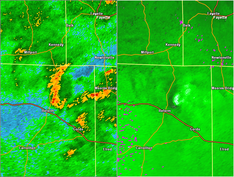
National Weather Service meteorologists surveyed damage in rural northern Pickens County just northeast of Reform and have determined that the damage was consistent with an EF-0 tornado. Maximum winds were estimated to be around 85 mph.
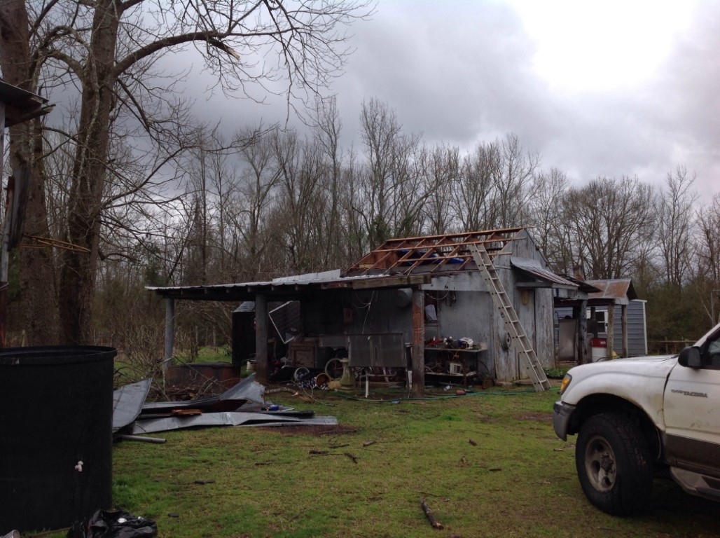
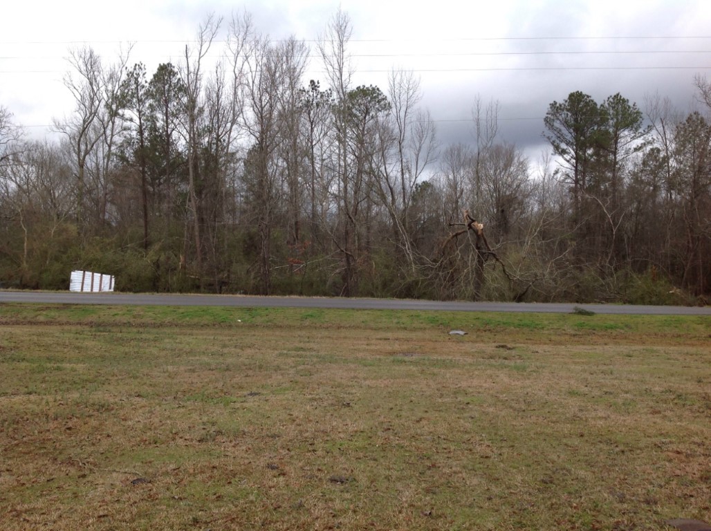
The tornado touched down in a wooded area near Wild Goose Creek, due south of the intersection of Ollie Bonner Road and Pickens County Road 49. From there, it moved on a slightly west of due north path as it crossed CR-49 and CR-3. The tornado ultimately lifted just north of where Beaver Creek Road crosses over Beaver Creek. The tornado remained over a rural and wooded area through almost its entire path, and damage largely consisted of trees that were either uprooted or snapped. In the area near Ollie Bonner Road and CR-49, one home and one shed each received minor roof damage.
|