|
A National Weather Service Damage Assessment Team has surveyed the storm damage in Autauga and Elmore Counties and has determined that the damage was caused by a tornado.
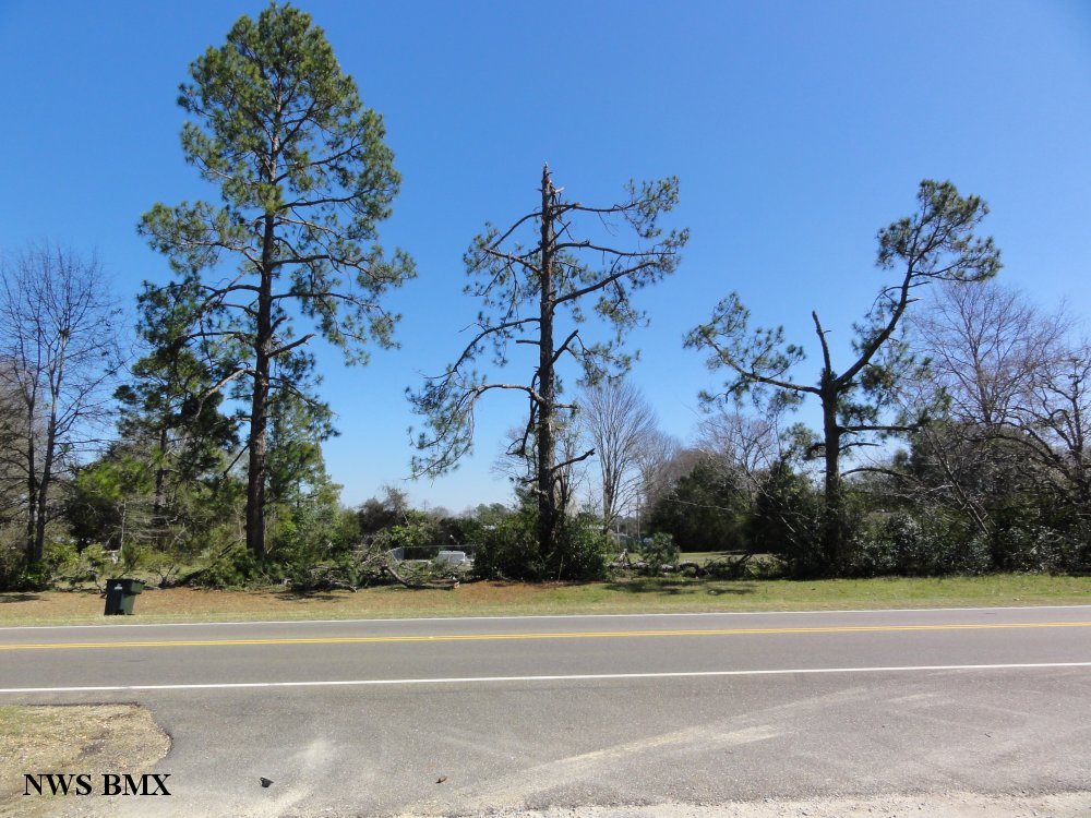
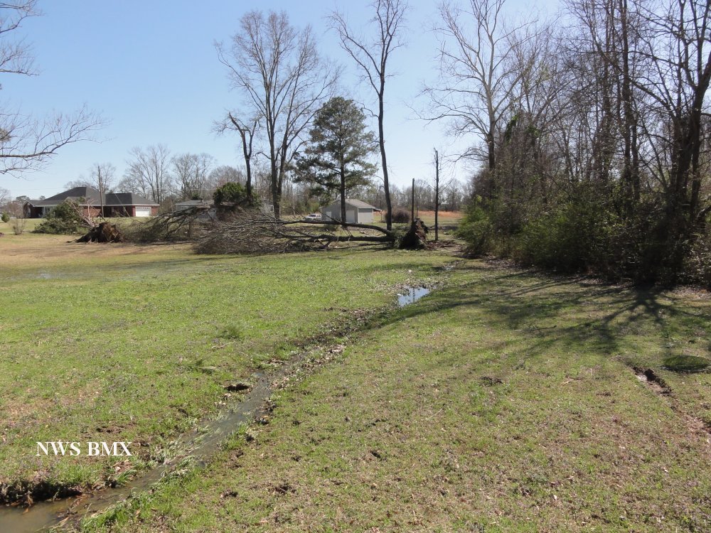
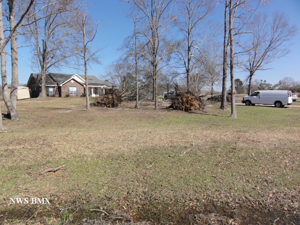
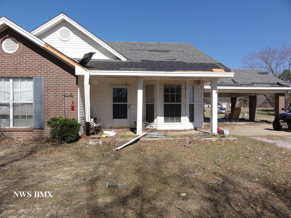
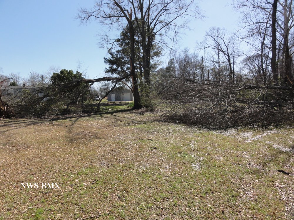
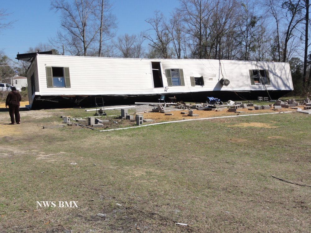
The tornado touched down just to the west of Interstate 65 near the intersection of CR 40 West and Davies Drive in Autauga County. The tornado tracked to the southeast over Interstate 65 and lifted just to the northwest of the town of Elmore in Elmore County, near the end of Dozier Farm Road. Along the path, numerous softwood trees were either snapped or uprooted. The most significant damage occurred on Harris Road where dozens of trees were snapped and uprooted. There was partial roof damage to numerous homes in the same area and a single-wide mobile home was overturned.
|