|
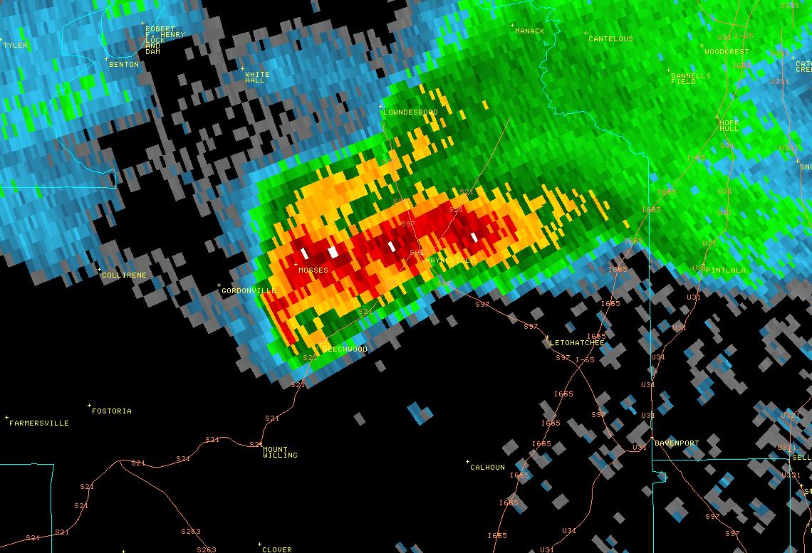
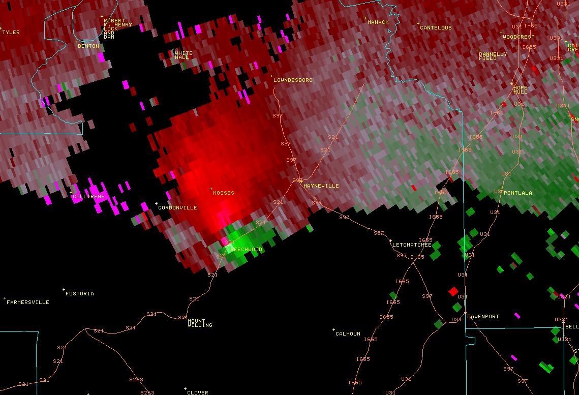
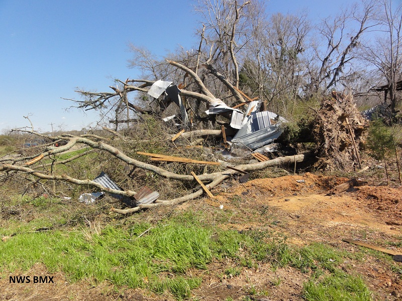
National Weather Service meteorologists surveyed the damage across Lowndes County and found tornado damage consistent with an EF1 with estimated winds of 110 mph. The tornado touched down in mainly hunting and forested lands just north of the Bragg Community where numerous soft and hardwood trees were snapped or uprooted. The tornado then traveled northeast crossing Blue Hill Road where one residence sustained minor roof damage, along with additional trees being either snapped or uprooted. Further northeast, the tornado crossed Alabama Highway 21 in the Beechwood community where the path width reached its maximum point. Multiple trees were uprooted and snapped along with power lines blown down. One large barn was also completely destroyed. As the tornado tracked parallel to Alabama Highway 21, a home and a large barn sustained signficant roof and structural damage. Numerous outbuildings were destroyed and several large pieces of farm equipment were thrown over 100 yards in this same area. The tornado continued northeast just south of Hayneville, crossing county roads 33 and 97 where additional trees were damaged along with one single family residence that sustained minor roof damage. The tornado began to weaken as it crossed Mimms Road and lifted near the intersection of County Road 26 and County Road 37, but not before causing additional tree damage and rolling one manufactured home onto its side while keeping it intact.
Tornado Warnings were in effect from 543 pm until 630 pm.
Tornado Watches were in effect from 435 pm until 5 am.
|