|
Event Summary
|
|
EF-2
|
|
Estimated Maximum Wind:
|
115 mph
|
|
Injuries/Fatalities:
|
1 Injury |
|
Damage Path Length:
|
29.15 miles
|
|
Maximum Path Width:
|
1300 yards
|
|
Approximate Start Point/Time:
|
3 ESE Liverpool
32.3455/-85.7356
at 227 pm
|
|
Approximate End Point/Time:
|
2 S Griffen Mill
32.4914/-85.2738
at 257 pm
|
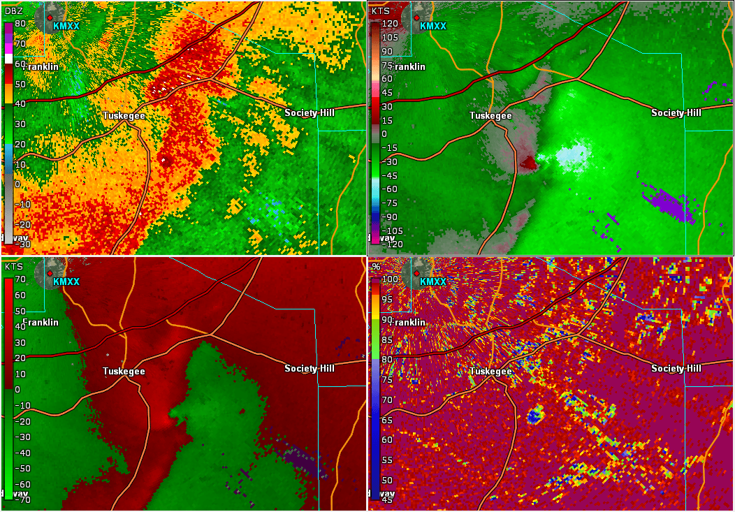
NWS Meteorologists surveyed damage in south of Tuskegee in Macon County eastward to Griffen Mill in Lee County and determined it was the result of a tornado.
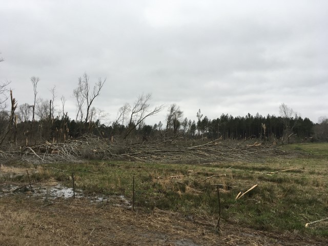
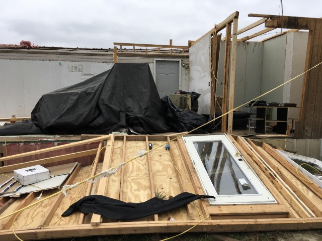
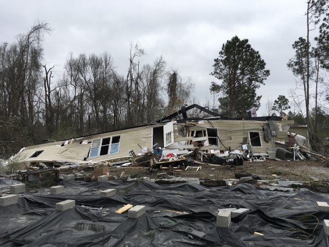
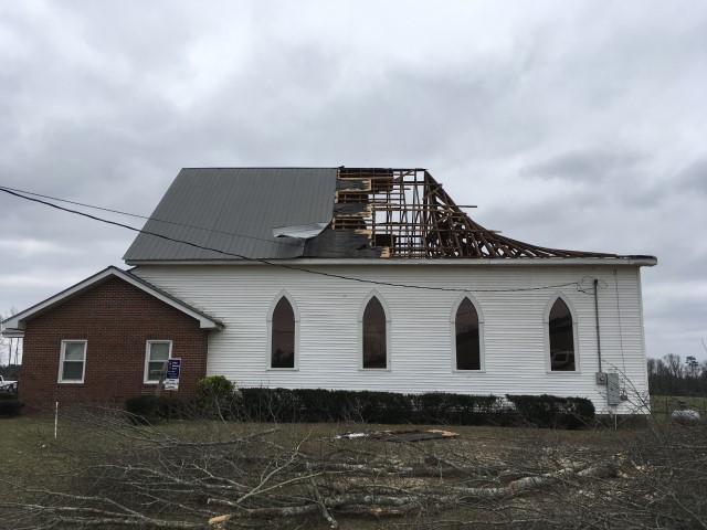
The tornado touched down near the Mount Andrew community, along Morgan Russel Road. This location is about 4 miles south of Tuskegee. The damage was relatively weak and confined to tree damage as the tornado roughly paralleled Morgan Russel Road and then crossed Gautier Street. The tornado continued on a northeastward trajectory and strengthened as it approached US Highway 29. The most concentrated and highest damage occurred in this location. Several stands of trees were completely mowed down, with none left standing. Many thousands of trees were downed in and near this spot. The tornado then crossed County Road 10, Red Road, and County Road 71. Many hundreds of trees were downed along this part of the damage path. As the tornado moved across County Road 24, Fitzpatrick Road and County Road 91, numerous trees were downed, several homes suffered varying degrees of roof damage, a few outbuildings were destroyed, and a farm irrigation system was damaged. As this tornado moved across US Highway 80 north of Society Hill and into Lee County, it roughly paralleled the path of the previous EF-4 tornado, about a mile or so to the south. The tornado continued northeast and crossed County Road 29, County Road 11, Cave Mill Road, AL Highway 51 (Marvyn Parkway), County Road 166, and finally ended near County Road 170. Numerous trees were snapped off and uprooted through Lee County. Many mobile homes and frame homes suffered varying degrees of roof damage, several outbuildings were damaged and many trees were downed. Two mobile homes were rolled over near the end of the damage path and one person was injured. The tornado damage path was 29.15 miles long and was 1300 yards wide at its widest point.
|