Eutaw Tornado - Greene County - March 4th, 2008
|
Rating:
(Click for EF Scale) |
EF-1
|
|
Estimated Maximum Wind:
|
105 mph
|
|
Injuries/Fatalities:
|
None
|
|
Damage Path Length:
|
5.6 miles
|
|
Maximum Path Width:
|
300 yards
|
|
Approximate Start Point/Time:
|
32.8316/-87.9191 at 1249 am
|
|
Approximate End Point/Time:
|
32.9095/-87.8915 at 1255 am
|
|
KMZ & KML Files :
|
KMZ | KML |
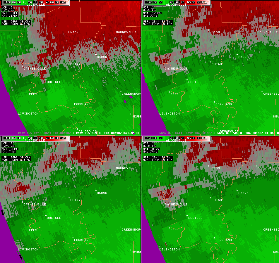
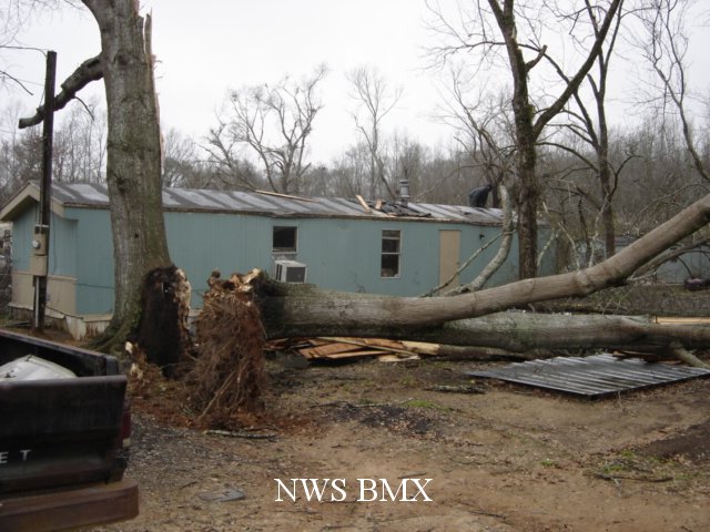
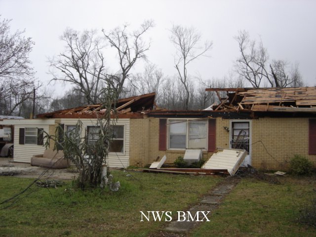
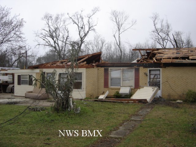
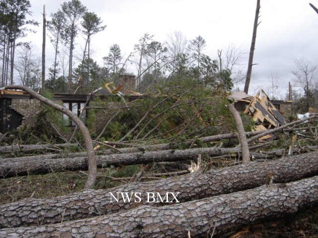
A National Weather Service Damage Assessment Team has surveyed the storm damage in Greene County. It has been determined the damage was the result of a tornado. The tornado has been rated an EF-1 on the Enhanced Fujita Scale. Damage estimates were consistent with winds around 105 mph.
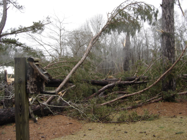
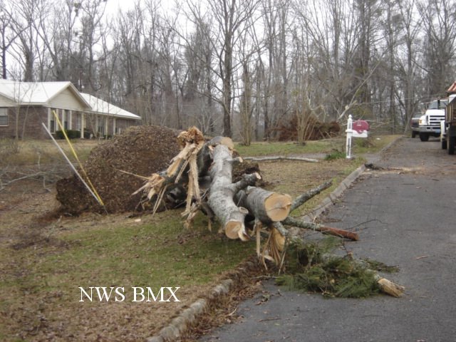
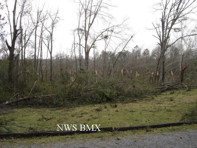
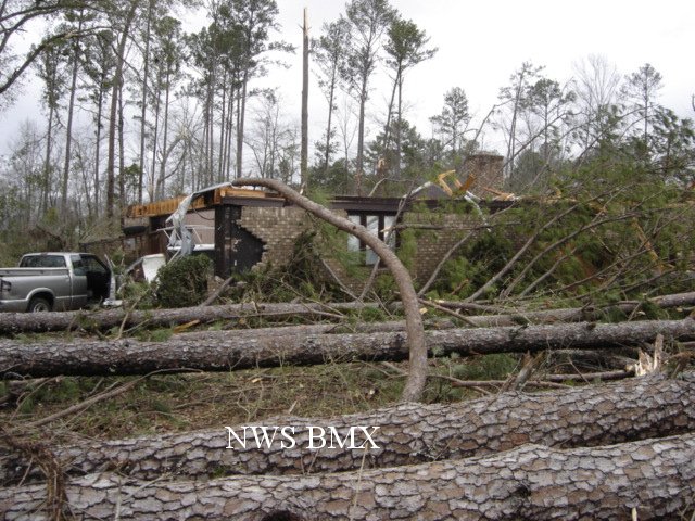
The tornado touched down near the intersection of US Highway 11 and County Road 135. The tornado tracked northeastward and crossed County Road 12, County Road 131, State Highway 14, County Road 170 and Interstate 20 near mile marker 43. The tornado lifted before reaching County Road 167. At least twenty five homes received damage, one home was destroyed and four homes received major damage. Several hundred trees were either snapped off or blown down along the path. No injuries or fatalities were reported.
|
|
||||||||||||||||||