|
Event Summary
|
|
EF-1
|
|
Estimated Maximum Wind:
|
90 mph
|
|
Injuries/Fatalities:
|
None |
|
Damage Path Length:
|
2.87 miles
|
|
Maximum Path Width:
|
150 yards
|
|
Approximate Start Point/Time:
|
1 ENE Billingsley
32.6621/-86.6920
at 1:24 pm CDT
|
|
Approximate End Point/Time:
|
4 NE Billingsley
32.6855/-86.6518
at 1:27 pm CDT
|
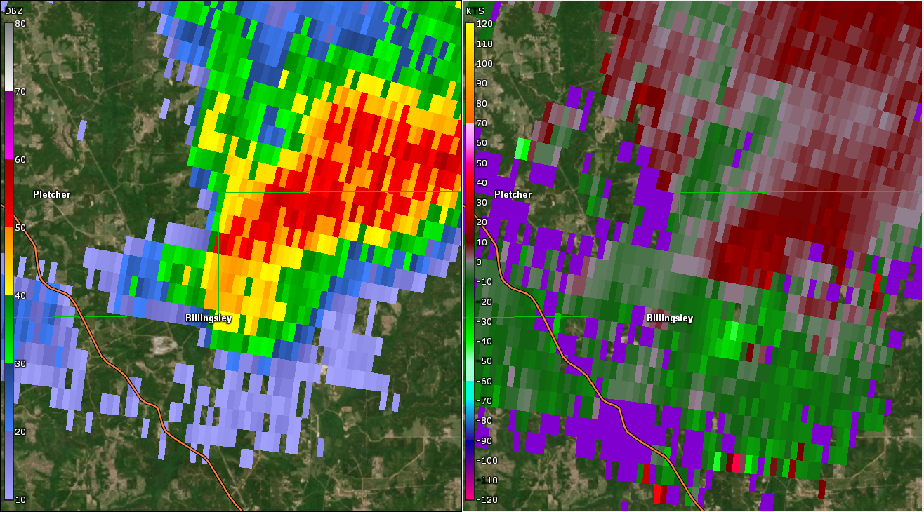
National Weather Service meteorologists surveyed the damage in Northern Autauga County and determined it was the result of an EF-1 tornado.
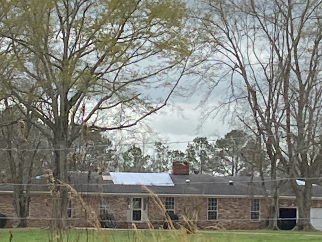
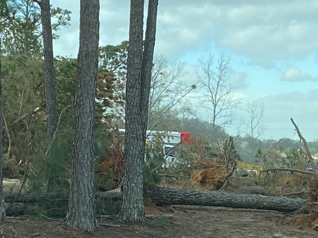
A tornado touched down near the Billingsley community in Northern Autauga County early Wednesday afternoon. The tornado first touched down near Tom Turner Road where minor tree damage was noted. The tornado moved east-northeast eventually nearly paralleling County Road 24. Here, large trees were snapped near a home with several causing minor damage to a home and a porch. Other minor structural damage was also noted. Further down the road, another home sustained minor roof damage. The tornado appeared to weaken rather dramatically with only minor evidence of tree damage before the tornado lifted west of County Road 19. The tornado damage path was 2.87 miles long and was 150 yards wide at its widest point. The maximum winds were estimated around 90 mph.
|