|
|
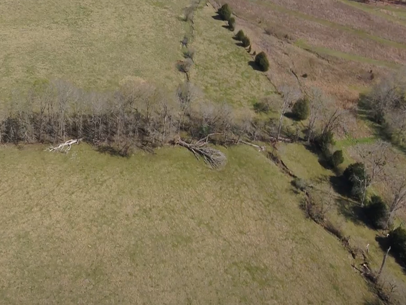
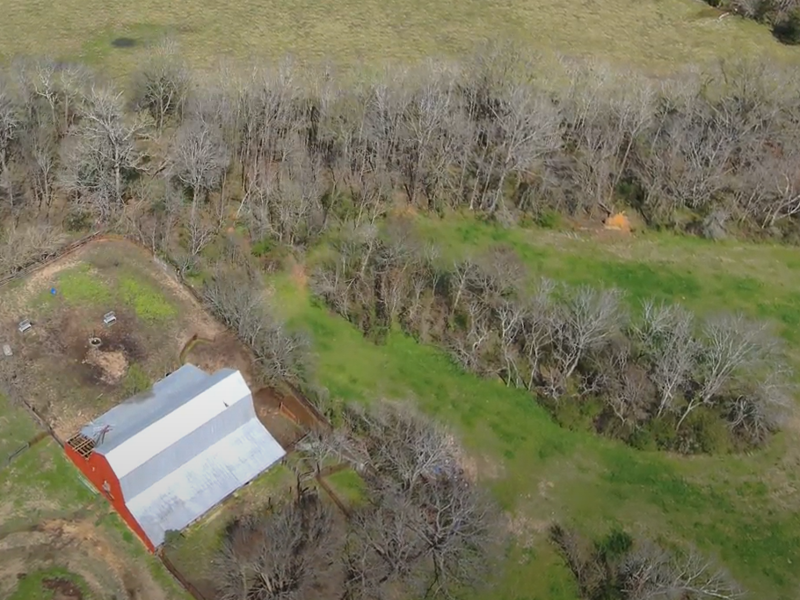
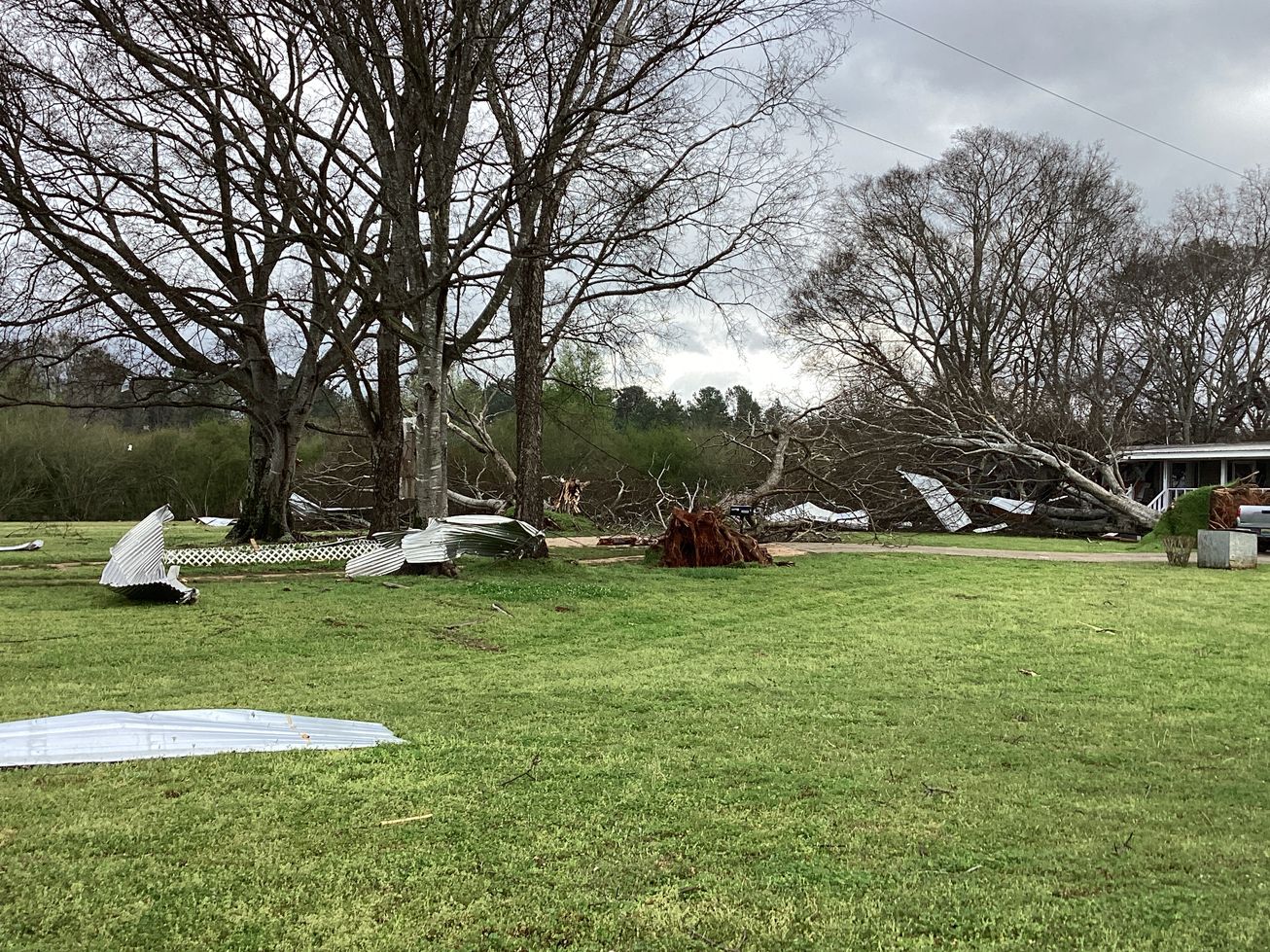
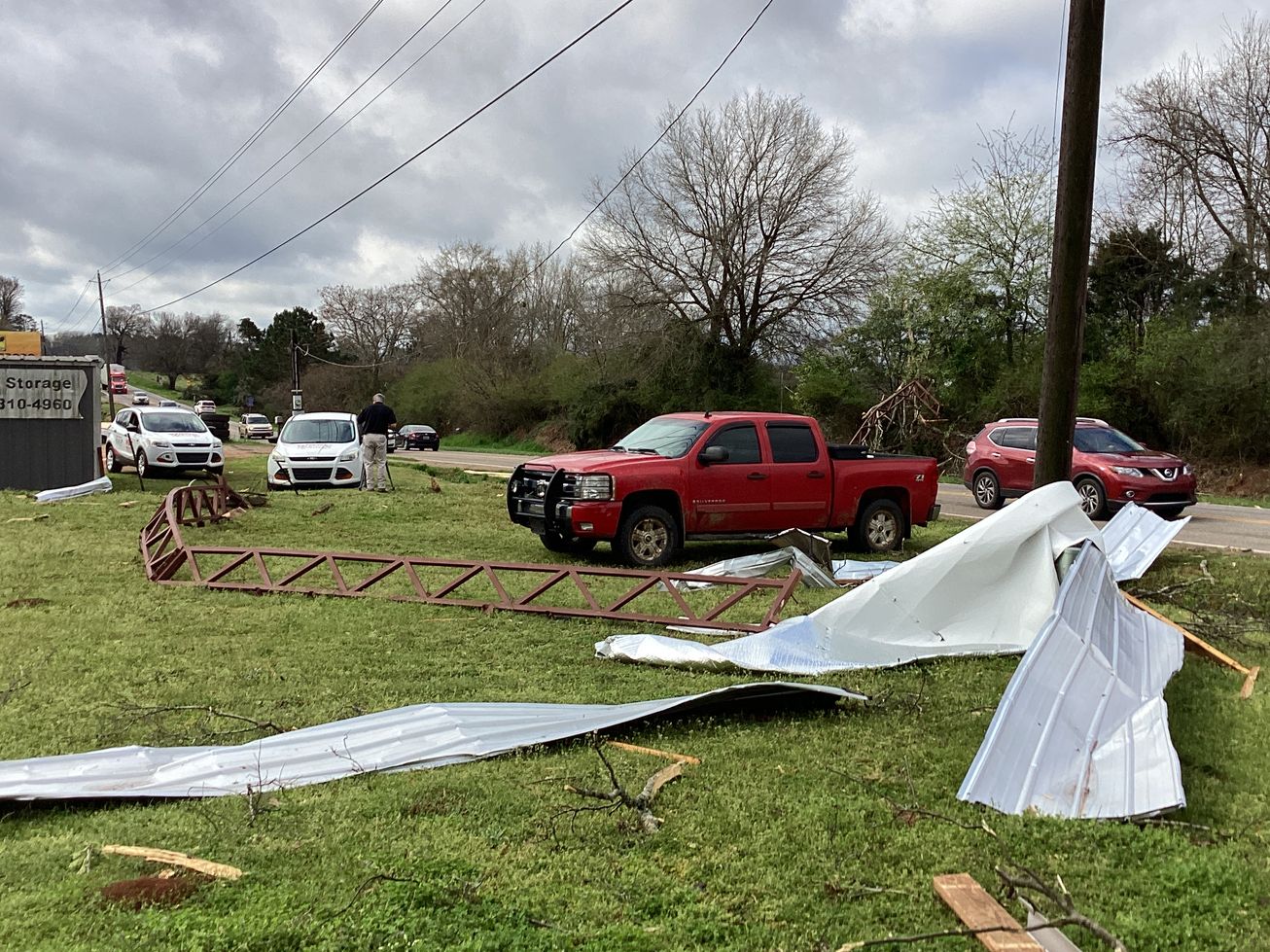
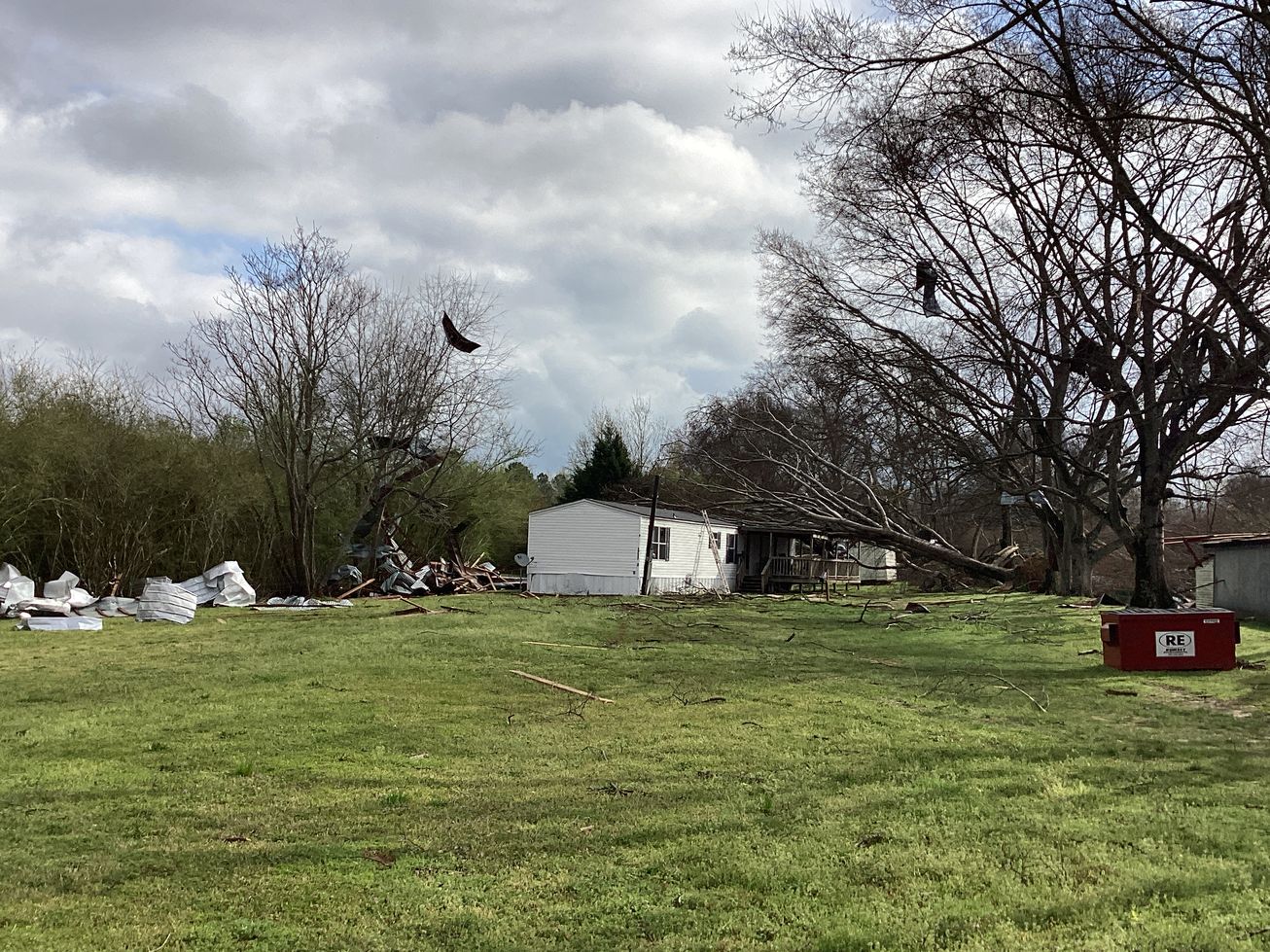
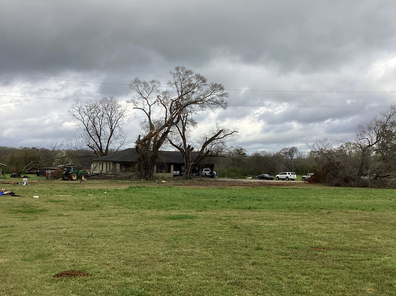
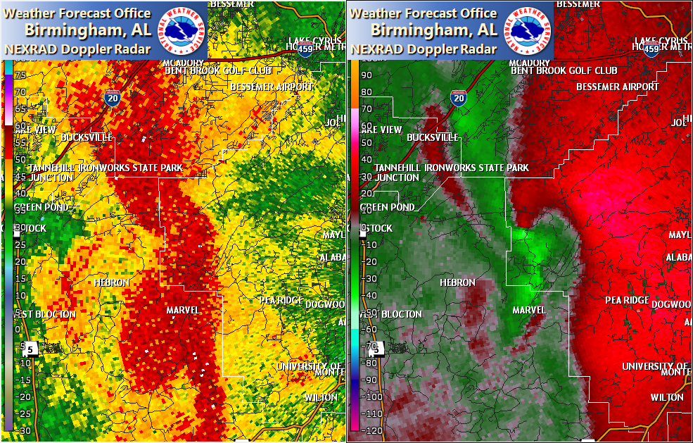
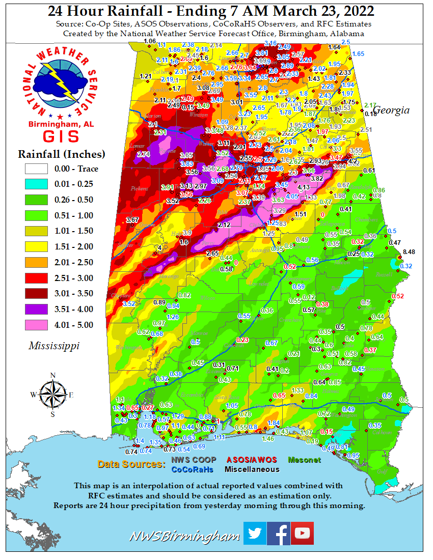
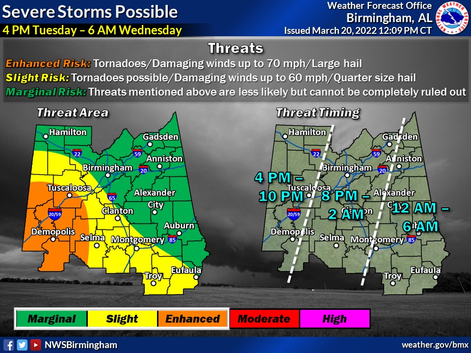
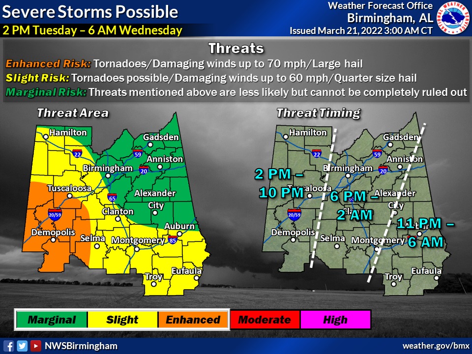
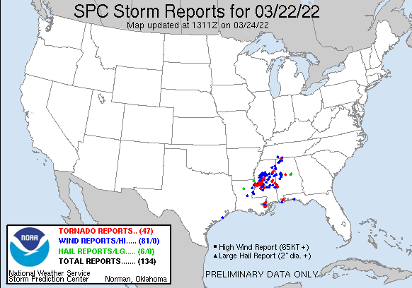
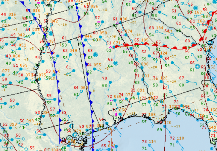
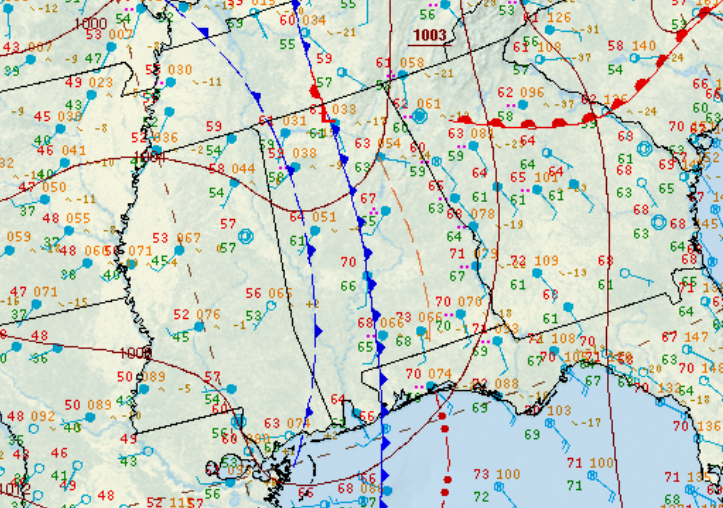
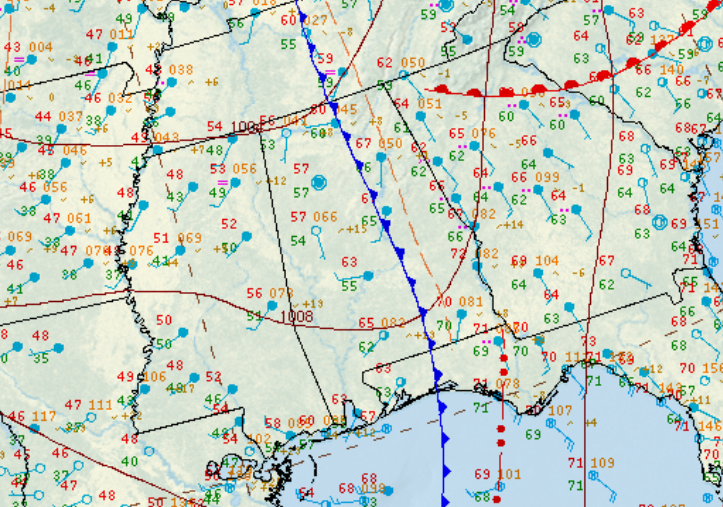
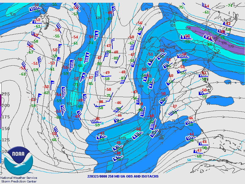
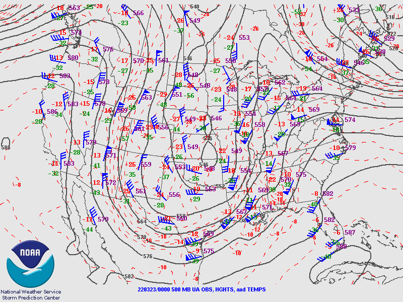
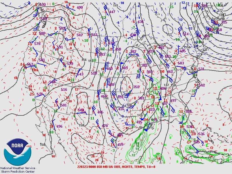
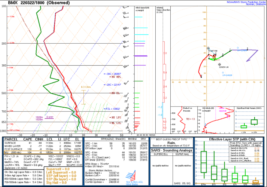
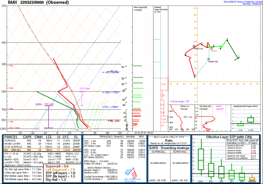
Several supercell thunderstorms developed ahead of a QLCS in advance of a cold front. One supercell produced three weak tornadoes, with a QLCS later producing a weak tornado. Training thunderstorms resulted in many instances of flash flooding and river flooding, with three flash flood fatalities occurring in Tuscaloosa County. |
| Interactive Damage Map |
| Maps coming soon! |
|
**The data below are considered PRELIMINARY.** |
|
|
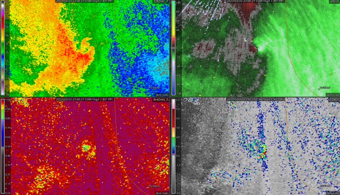
Thornhill EF-0 Tornado (Greene County)
|
|
|
||||||||||||
|
Dollarhide Creek EF-0 (Greene County)
|
|
|
||||||||||||||
|
Williams Camp EF-0 (Tuscaloosa County)
|
|
|
||||||||||||||
|
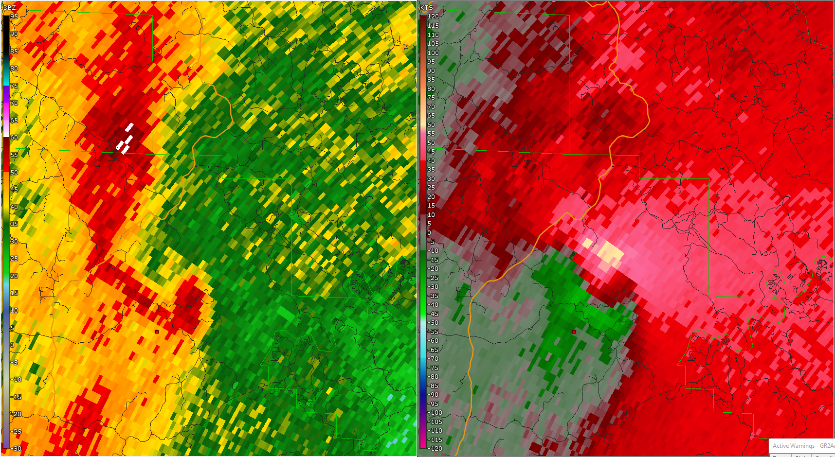
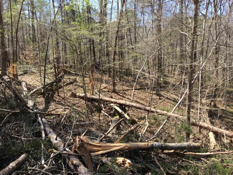
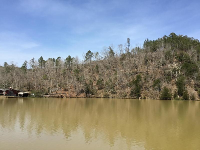
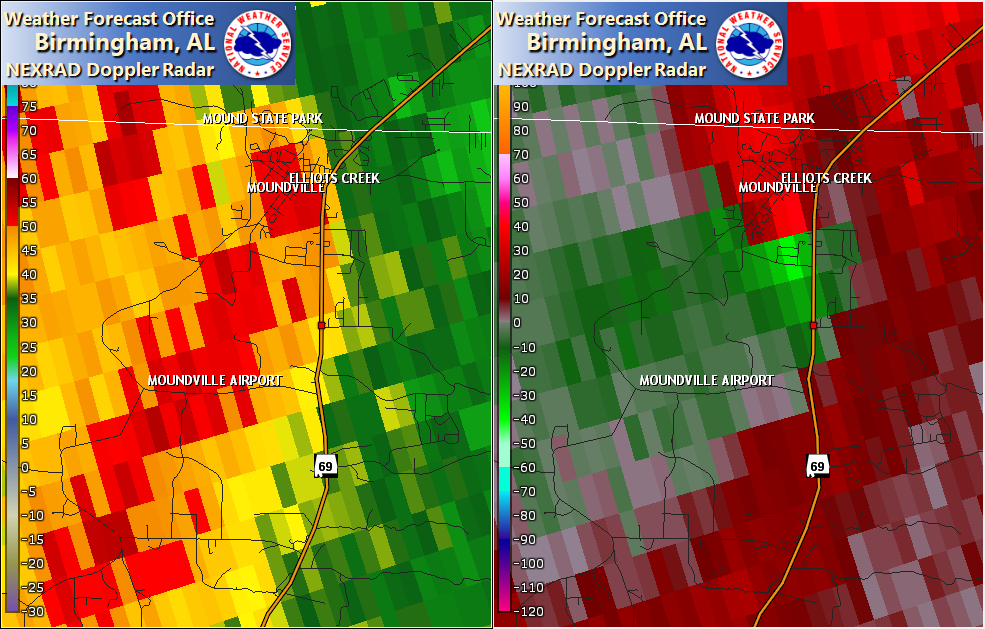
Moundville EF-0 (Hale/Tuscaloosa Counties)
|
|
|
||||||||||||||||
|
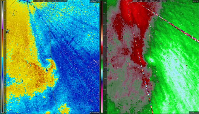
Shades Creek EF-0 Tornado (Bibb/Shelby Counties)
|
|
|
||||||||||||
|
|
|
|
|
|
|
|
|
|
|
|
|
|
|
|
|
|
|
|
|
|
|
|
|
|