|
Event Summary
|
|
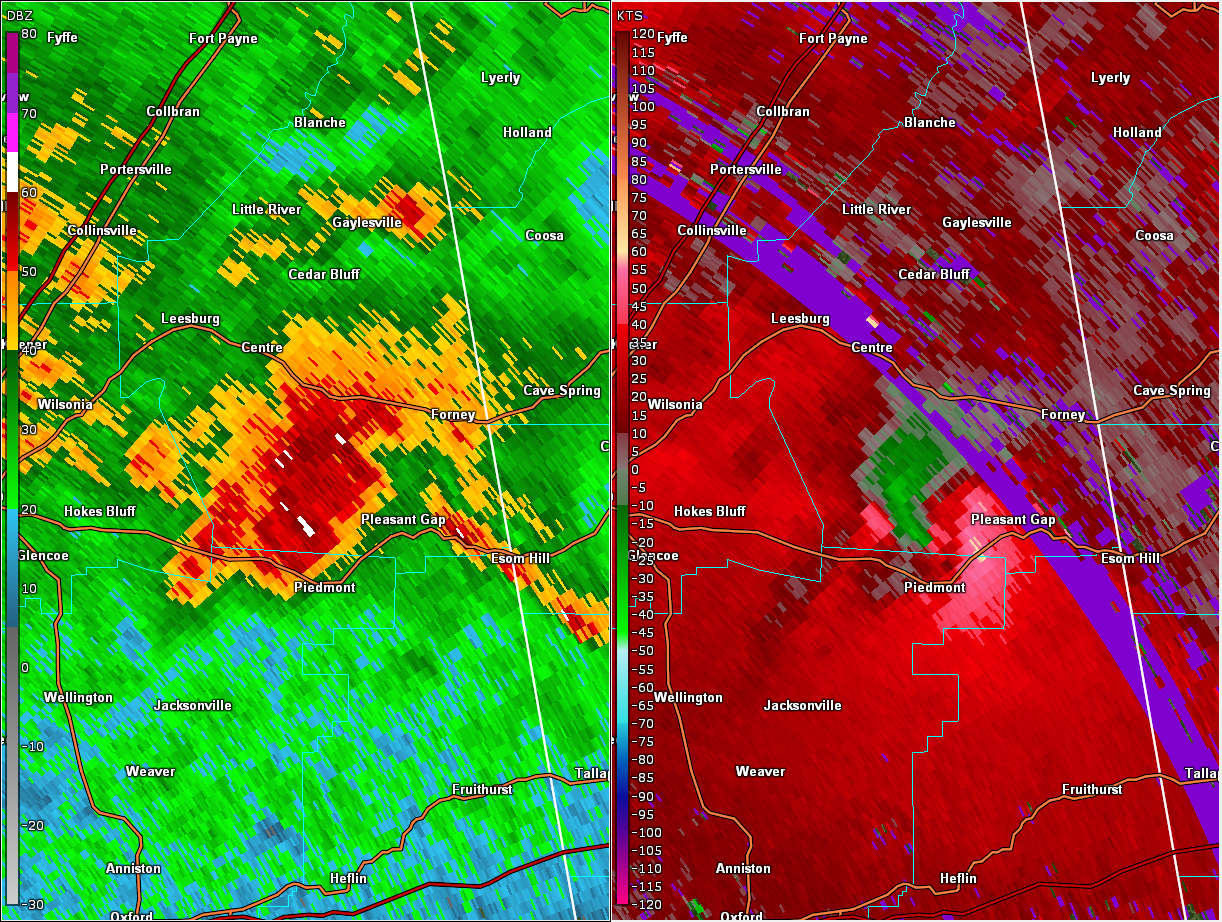
EF-0
|
|
Estimated Maximum Wind:
|
75 mph
|
|
Injuries/Fatalities:
|
None |
|
Damage Path Length:
|
3.57 miles
|
|
Maximum Path Width:
|
200 yards
|
|
Approximate Start Point/Time:
|
2 N Piedmont
33.9656/-85.6163
at 3:20 pm CDT
|
|
Approximate End Point/Time:
|
1 S Spring Garden
33.9642/-85.5567
at 3:24 pm CDT
|
National Weather Service meteorologists surveyed the damage in northern Greene County south of Union and determined it was the result of an EF-1 tornado.
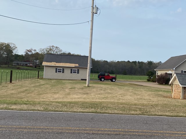
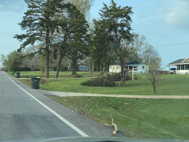
A brief EF0 tornado moved through far southern Cherokee County just north of Piedmont. Damage consisted of minor tree and shingle damage. The tornado formed along Highway 9 and moves along Cherokee County Road 2, continuing eastward and then a little southward before dissipating along Cherokee County Road 27 just west of Highway 278.
Interactive map of track will be coming soon.
|