|
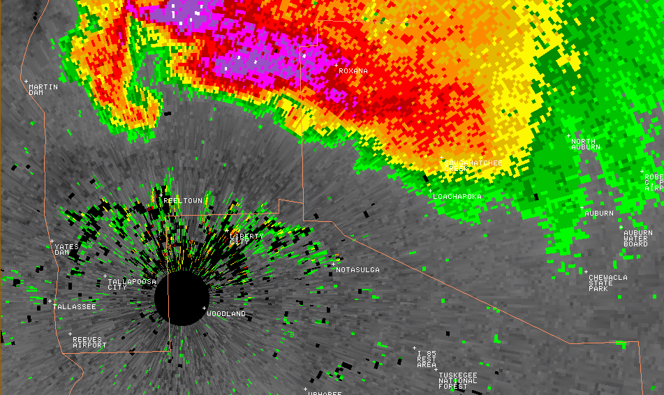
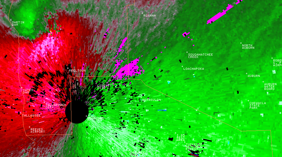
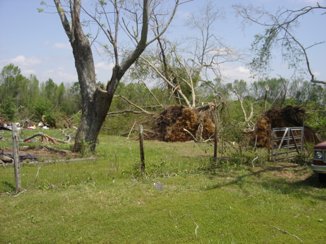
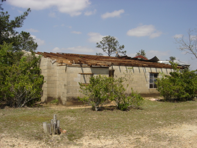
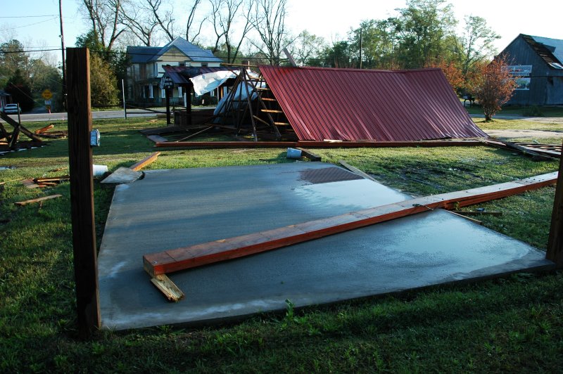
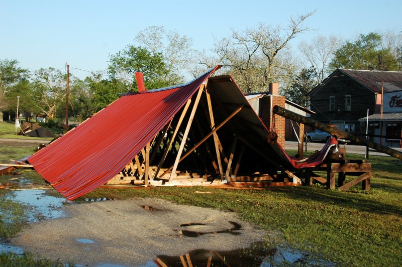
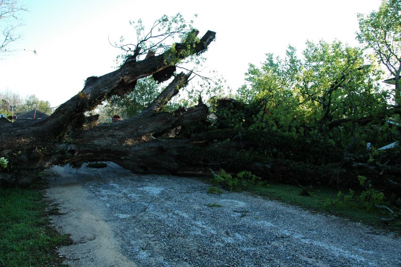
A National Weather Service Damage Assessment Team has surveyed the storm damage in Tallapoosa and Lee Counties. It has been determined the damage was the result of a tornado. The tornado has been rated an EF-1 on the Enhanced Fujita Scale. Damage estimates were consistent with winds around 90 mph.
A tornado dropped out of the same storm that produced the large hail swath near Lake Martin. The tornado started near the intersection of Prospect Road and County Road 45 or about 3.5 miles southeast of Martin Dam. The tornado traveled southeast across State Highway 49, County Road 15, and County Road 188. The tornado lifted just east of the Tallapoosa and Lee county line near Lee Road 217 and Cane Creek. The tornado affected mainly rural countryside where numerous trees were snapped off and uprooted along the path. The tornado damage path was 10.15 miles long and was 250 yards wide at its widest point.
|