|
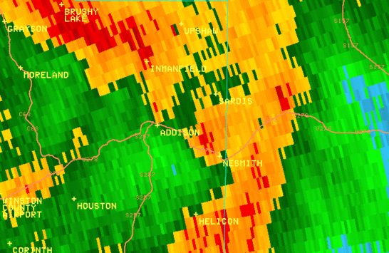
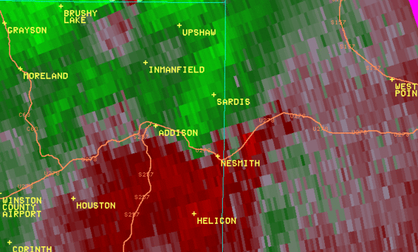
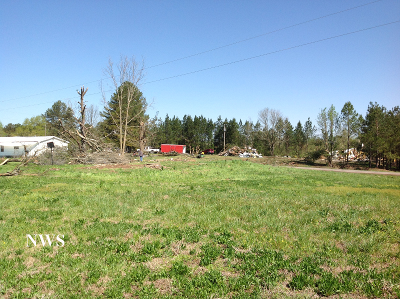
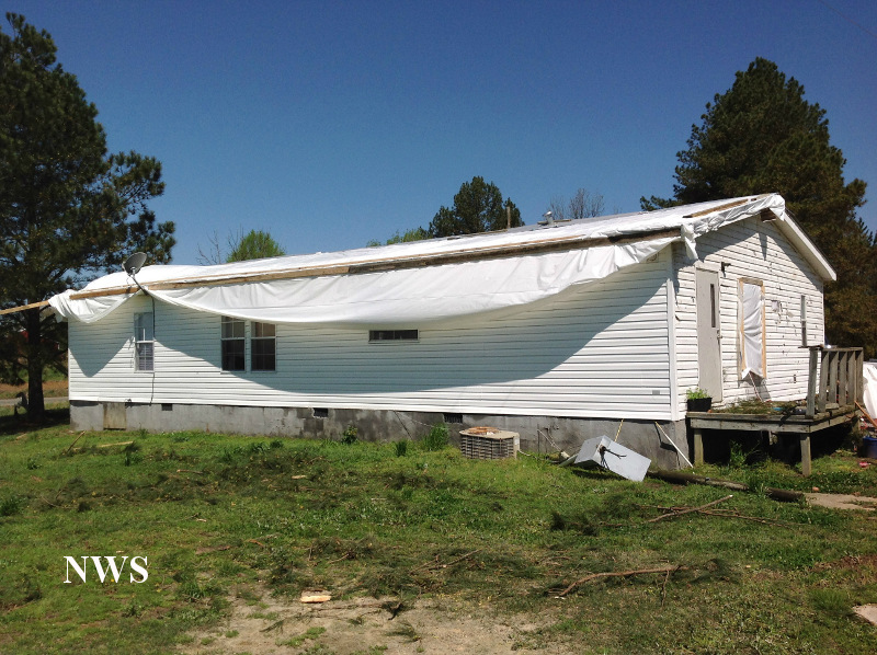
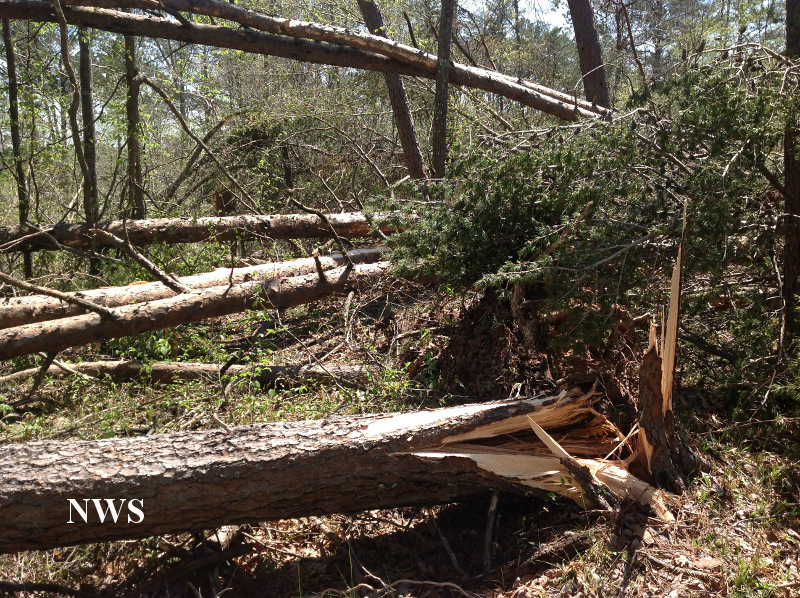
National Weather Service meteorologists surveyed the damage in Winston County and have determined that the damage was due to an EF-1 tornado. The brief tornado touched down in a field just southeast of the intersection of County Road 45 and County Road 3734. This location was approximately 3.49 miles east southeast of Addison. The tornado snapped and uprooted several large trees, completely demolished two sheds, and damaged a double wide home where a woman was injured. The woman was injured as she attempted to enter her vehicle and go to a shelter. The tornado continued north northwest where it twisted and rolled an unoccupied mobile home over 50 yards. The tornado snapped several more trees and rolled an unsecured mobile home on Dakota Drive. The tornado lifted just beyond Dakota Drive.
A special thanks to the National Weather Service office in Huntsville for performing this storm survey.
|