|
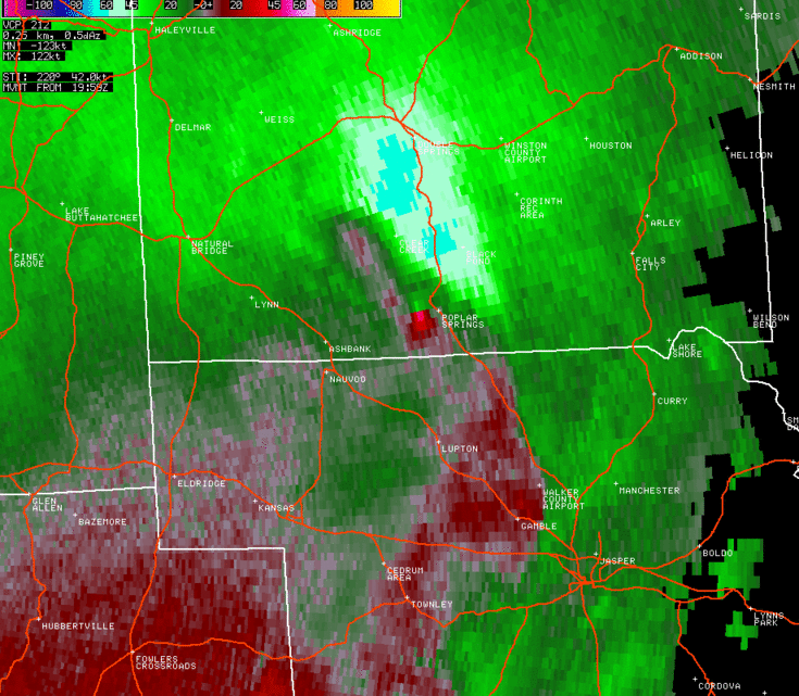
National Weather Service meteorologists surveyed the damage in Winston County and have determined that the damage was due to an EF-1 tornado.
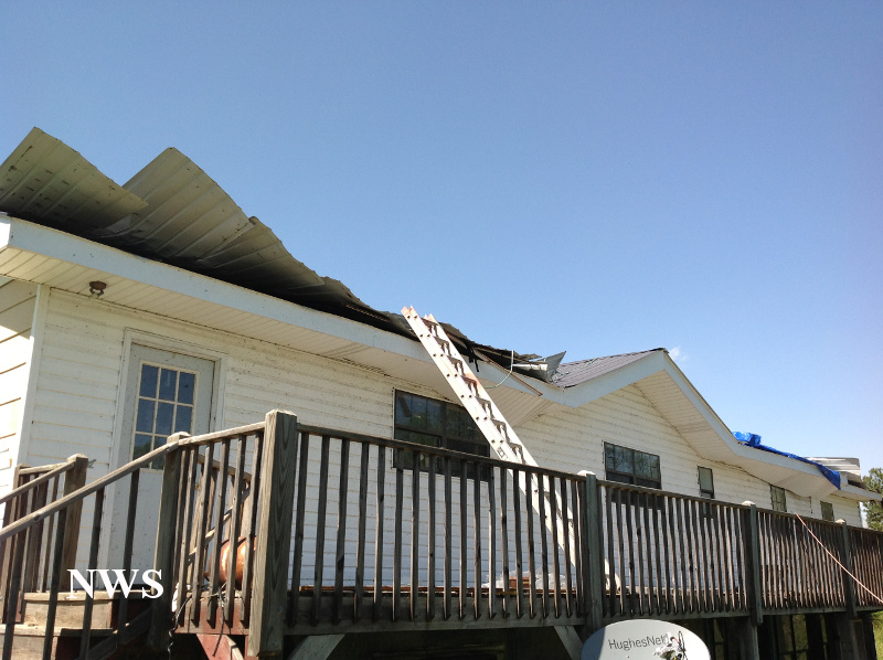
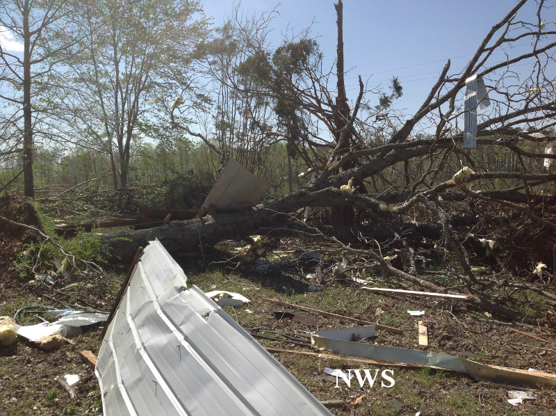
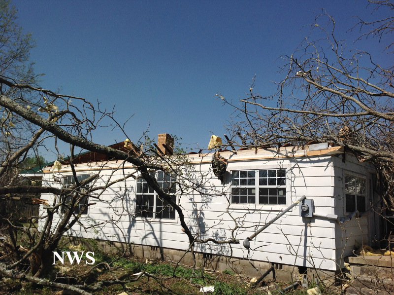
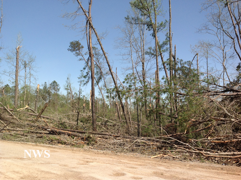
The tornado touched down in a wooded, rural area west of County Road 21 and east of Indian Creek. The tornado tracked northeast and generally parallel to County Road 21. A hardwood tree snapped and fell on a mobile home near the beginning of the path on County Road 21. Additionally, the tornado snapped and uprooted dozens of trees beyond a strip mine area. The tornado completely removed the roof of a 50 to 60 year old home, damaged another nearby residence, and snapped and uprooted several more trees, one of which crushed a small produce stand. The tornado continued northeast where it demolished a large shed in the parking lot of another strip mine, and damaged the mine office.The tornado then crossed Highway 195 where it toppled more trees which fell onto nearby residences. The tornado lifted east of Highway 195 before it reached County Road 8.
A special thanks to the National Weather Service office in Huntsville for performing this storm survey.
|