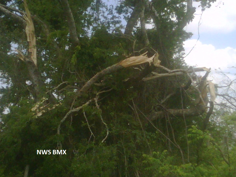
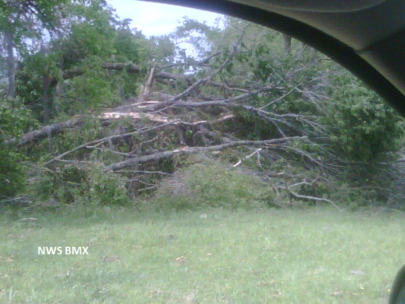
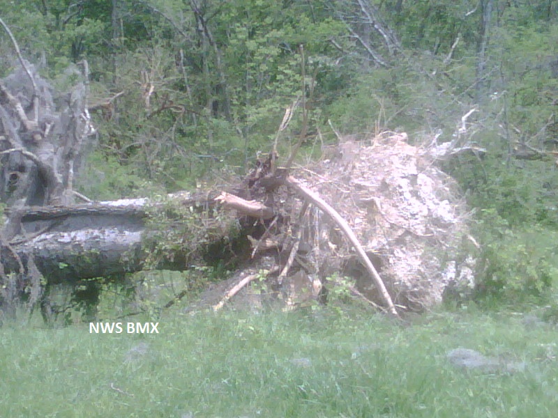
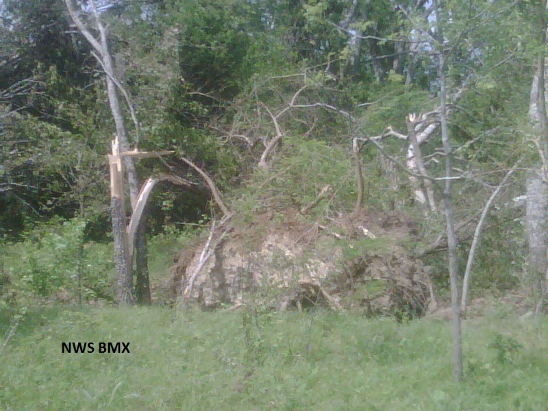
National Weather Service meteorologists surveyed the damage north of Beloit. It has been determined that the damage was consistent with a tornado. Winds were estimated around 105 mph. The tornado touched down east of County Road 189 and north of County Road 205. The tornado traveled east-northeast for a total path length of 1.6 miles over pasture land. This tornado uprooted and snapped hundreds of hardwood trees and destroyed a large cattle feeder. The path width was 250 yards wide at its widest point.
A Tornado Warning was in effect from 709 pm until 815 pm.