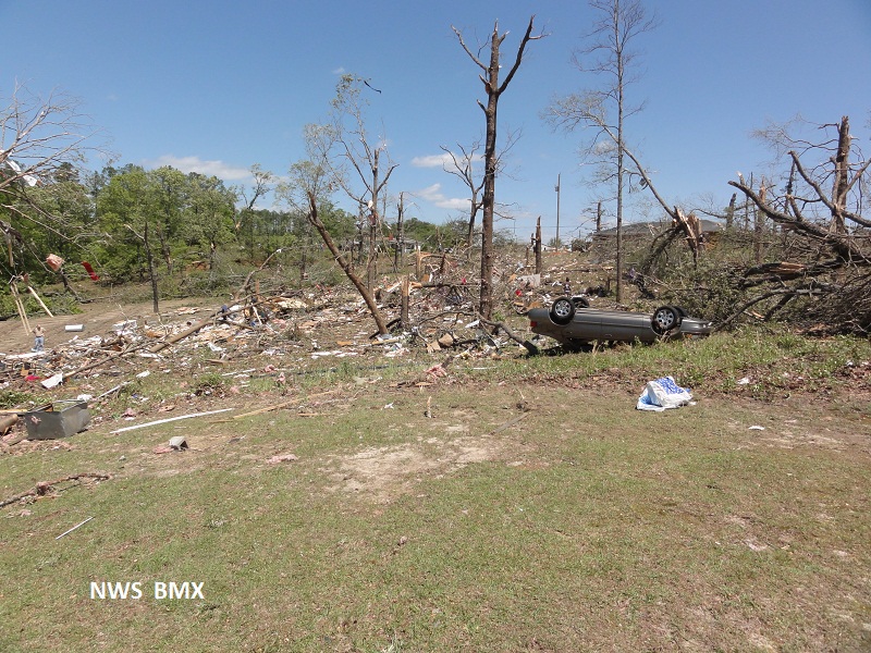
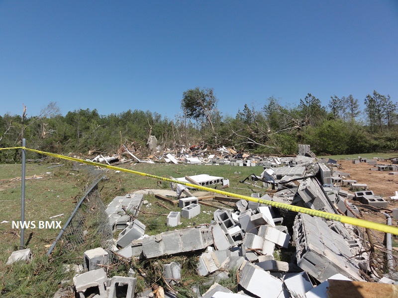
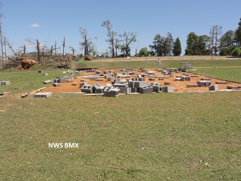
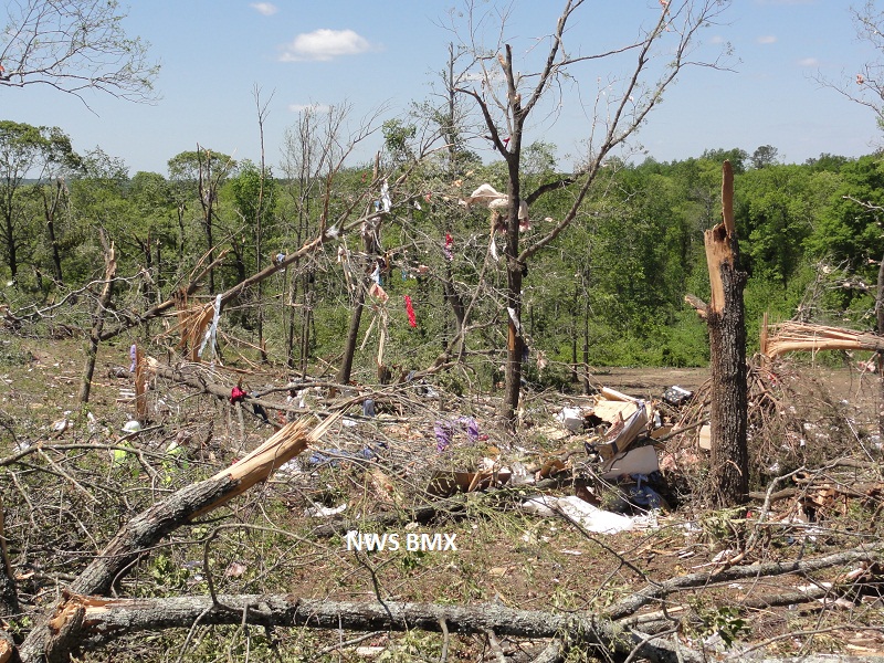
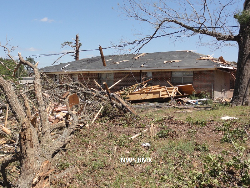
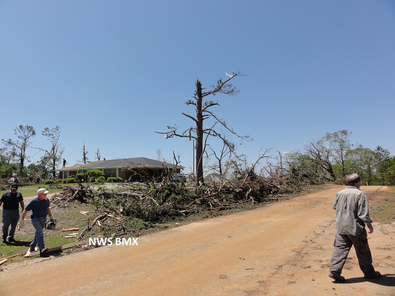
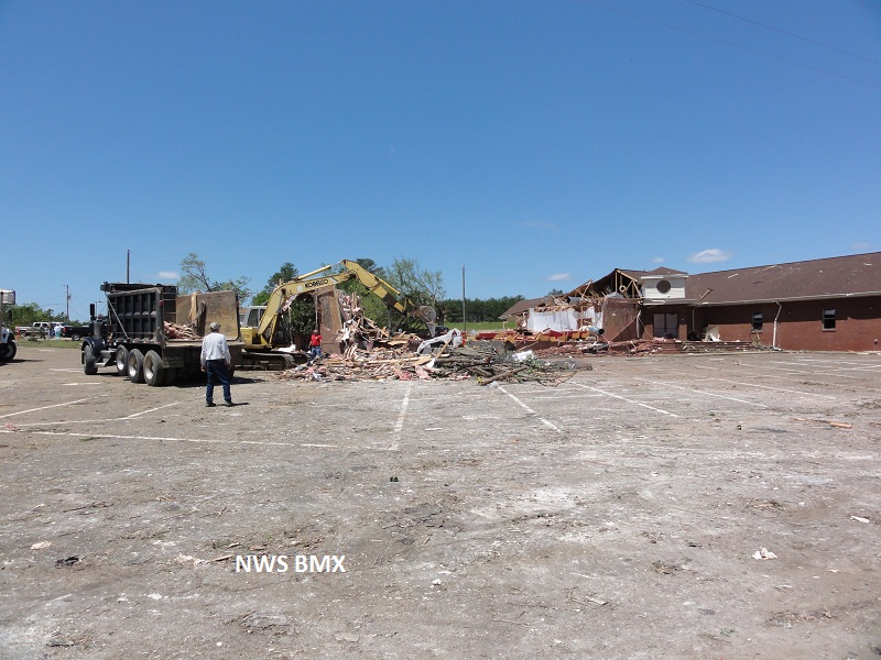
National Weather Service meteorologists surveyed the damage from just east of the Old Kingston community to Boones Chapel. It has been determined that the damage was consistent with a tornado. Winds were estimated around 150 mph. The tornado touched down just east of the Old Kingston community near the intersection of County Road 40 and County Road 63. This tornado was the third tornado to affect this same general area during the evening hours. The tornado tracked east-northeast and passed north of Poseys Crossroad and entered Boones Chapel. The tornado then crossed Interstate 65 and lifted along County Road 85 north of the Stoney Point community. Hundreds of trees were snapped off or were uprooted. At least 50 homes and one business were significantly damaged or were destroyed. Three occupants of a manufactured home were killed and 4 others were seriously injured. The tornado damage path was 9.29 miles long and 400 yards wide at its widest point. A special thanks to the Autauga County Emergency Management Agency for assistance.
A Tornado Warning was in effect from 1044 pm until 1130 pm.
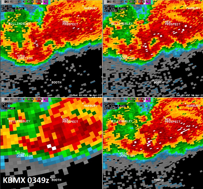
Reflectivity Image near Poseys Crossroads.
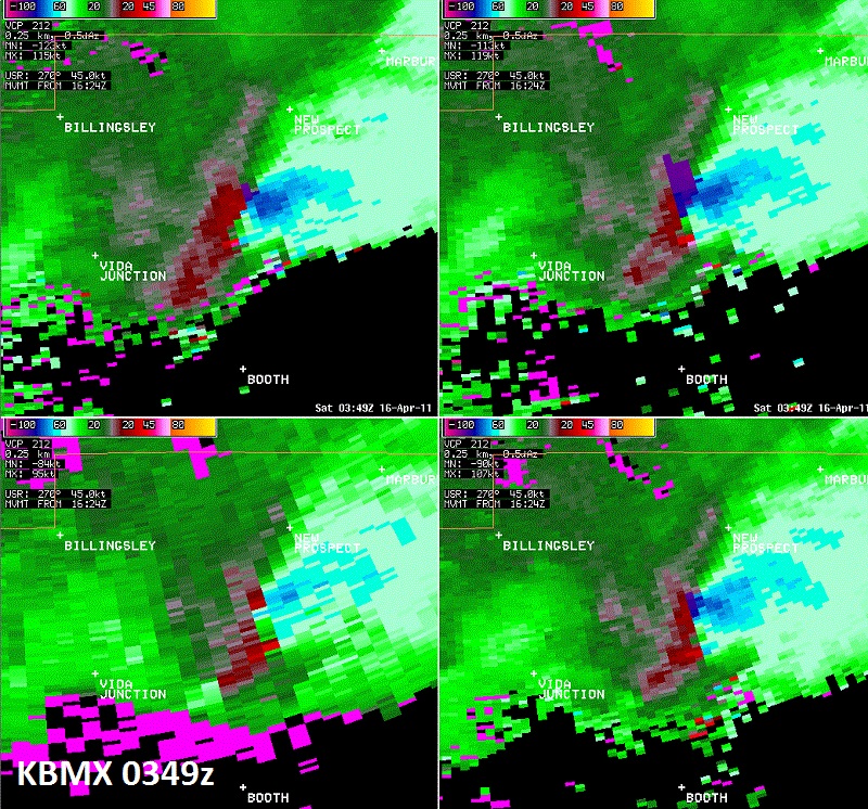
Storm Relative Velocity Image near Poseys Crossroads.