|
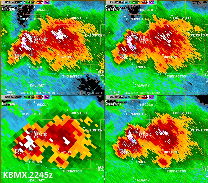
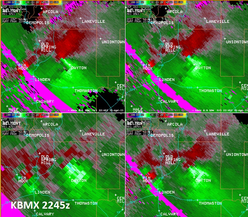
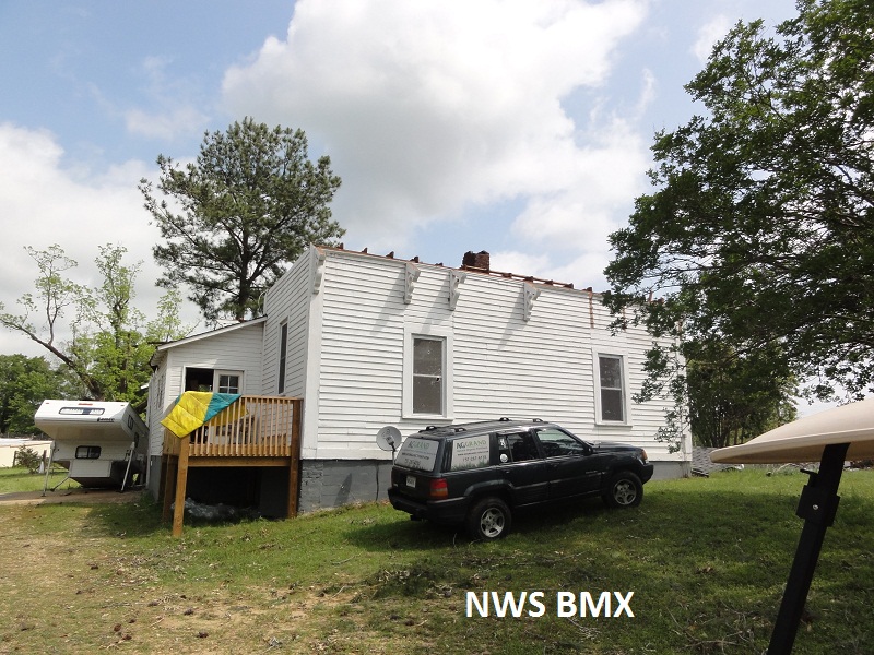
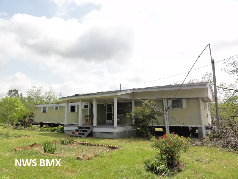
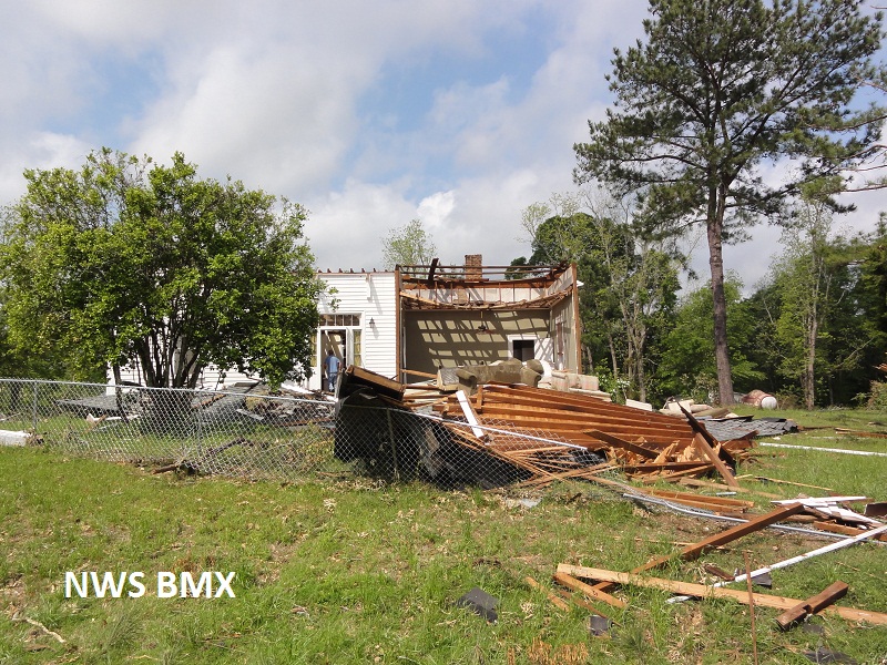
National Weather Service meteorologists surveyed the damage near Dayton. It has been determined that the damage was consistent with a tornado. Winds were estimated at 125 mph. The most concentrated damage occurred in Dayton where several homes had significant roof damage. There were several hundred hardwood and softwood trees snapped and uprooted. The tornado touched down just west of County Road 39, southwest of the Half Chance community. The tornado tracked northeast right over Dayton. The tornado lifted northeast of Dayton east of State Highway 25. The tornado damage path was 10.9 miles long and was 600 yards wide at its widest point.
A Tornado Warning was in effect from 530 pm until 630 pm.
|