|
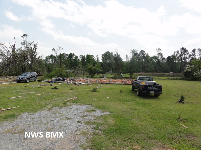
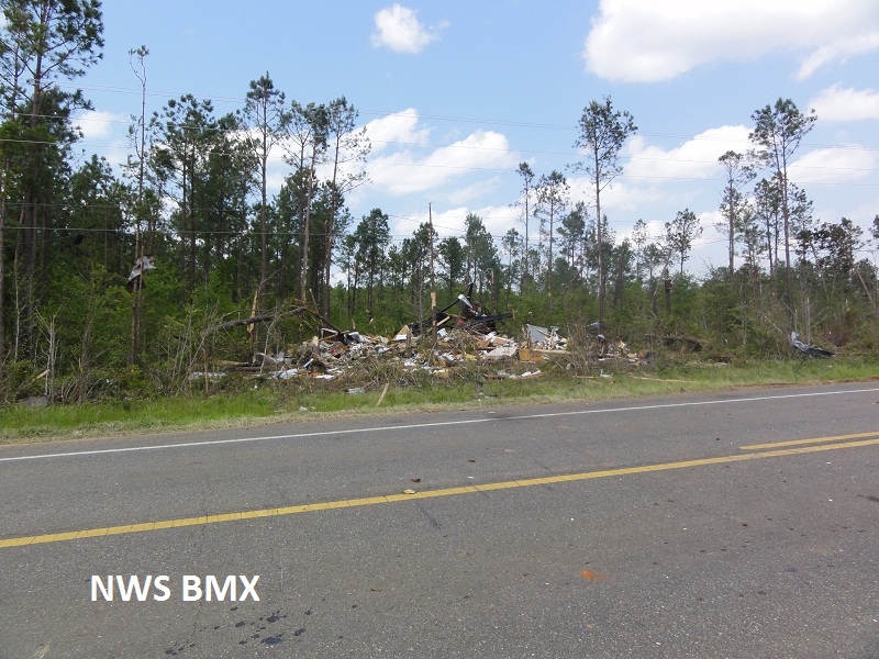
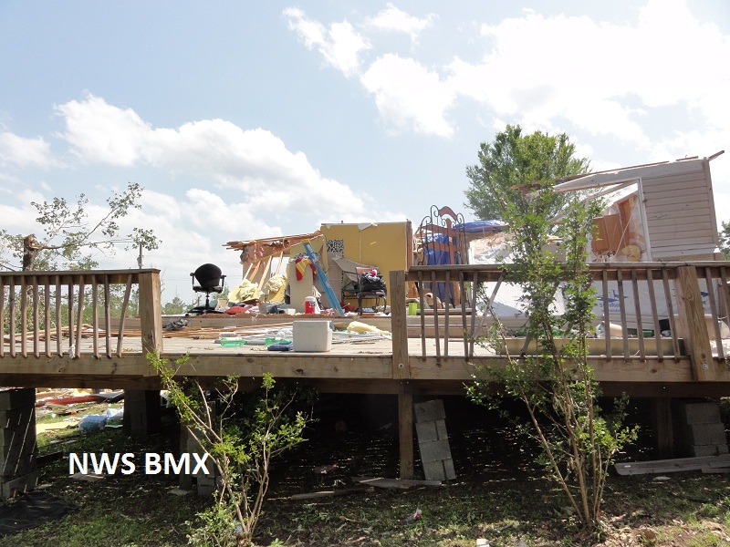
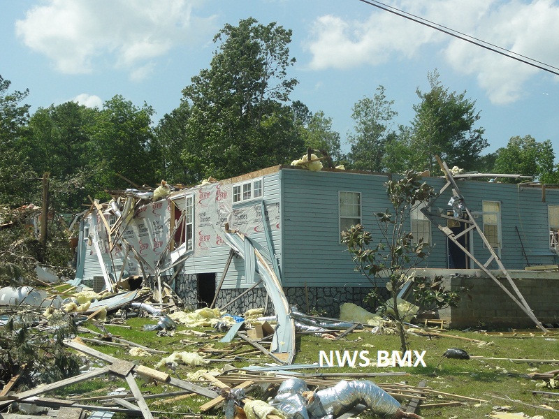
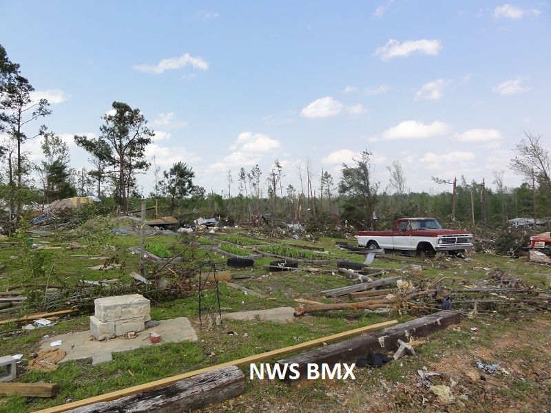
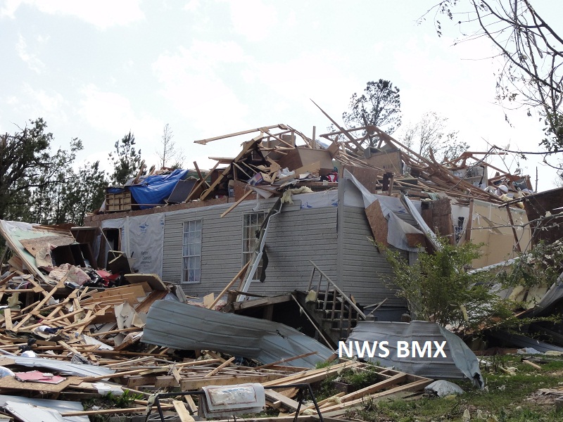
National Weather Service meteorologists surveyed the damage near Myrtlewood and the Hill Top Community. It has been determined that the damage was consistent with a tornado. Winds were estimated at 150 mph. Several dozen single family and mobile homes were heavily damaged or destroyed. One man was killed in his double wide mobile home as it was tossed several hundred feet across Alabama Highway 69. Two injuries occurred in Hilltop as a two story home had the entire roof and several walls destroyed. Additional injuries occurred in mobile homes as they rolled and were tossed along the path. The tornado touched down in a rural forested area west of Alabama Highway 69 and south of Beaver Creek. The tornado tracked northeastward with a slight left turning path. The tornado crossed State Highway 69 twice and eventually lifted just after it crossed State Highway 28 at Chickasaw Bogue, north northwest of Linden. The tornado damage path was 15.58 miles long and was 800 yards wide at its widest point.
A Tornado Warning was in effect from 441 pm until 545 pm.
|