|
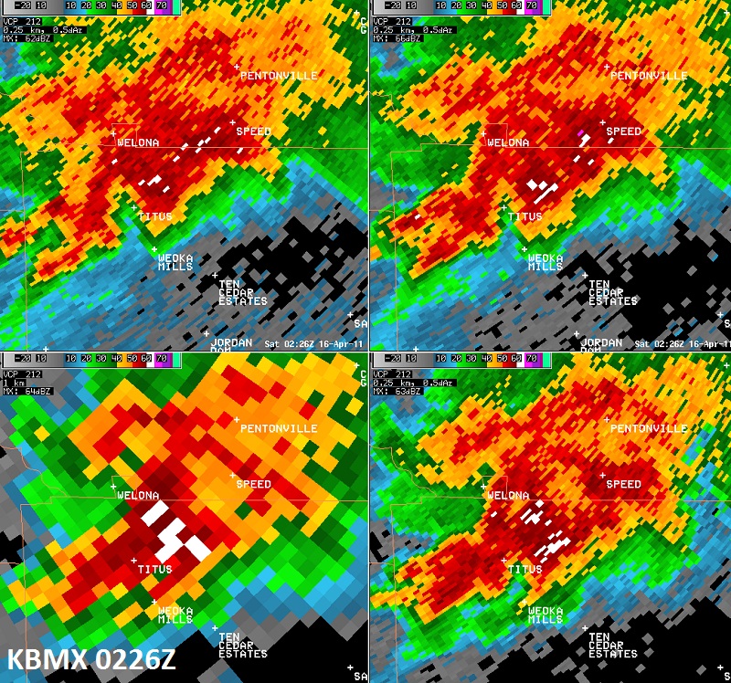
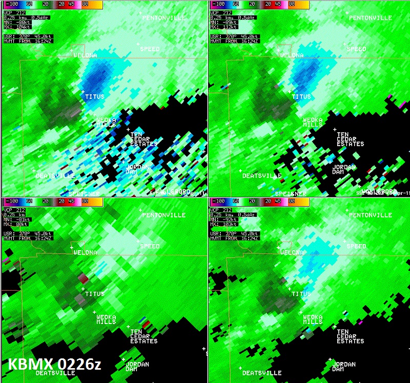
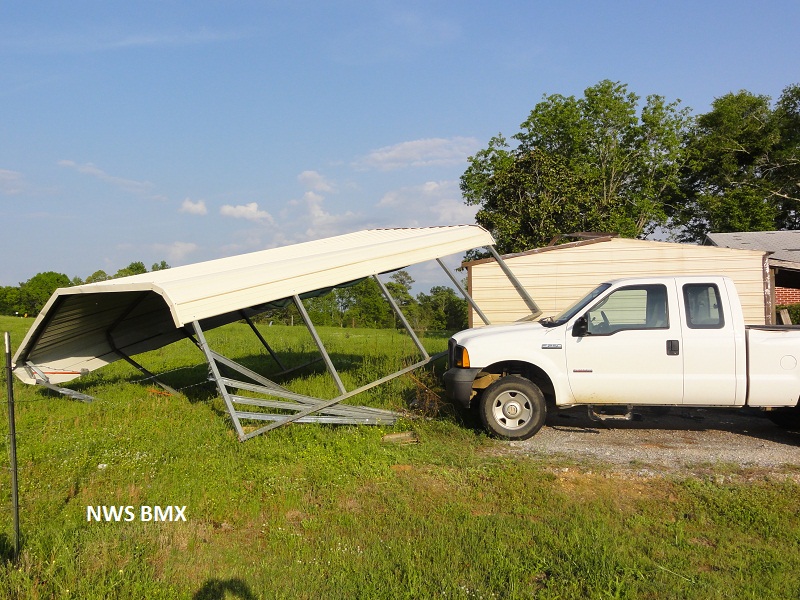
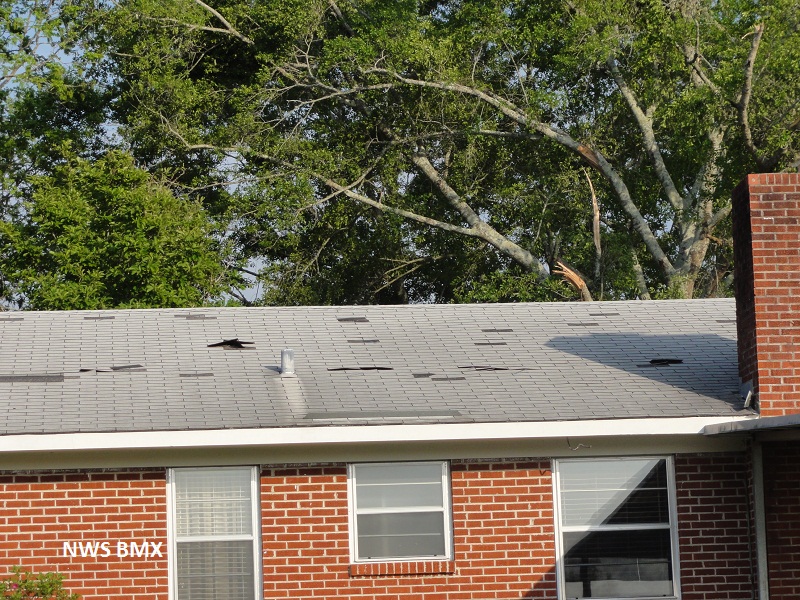
National Weather Service meteorologists surveyed the damage just north of Titus. It has been determined that the damage was consistent with a tornado. Winds were estimated around 75 mph. The tornado touched down just west of Grays Gerry Rd or 0.7 miles northeast of Titus. From there it traveled northeast and crossed Grays Ferry Rd and lifted in a wooded area on the east side of the roadway. Four barns were damaged along with some additional roof damage on nearby outbuildings. Hardwood trees had large limbs were snapped off, although no trees were totally snapped or uprooted. A carport was also destroyed along with the cars underneath. The tornado damage path was 0.35 miles long and was 50 yards wide at its widest point.
A Tornado Warning was in effect from 915 pm until 945 pm.
|