|
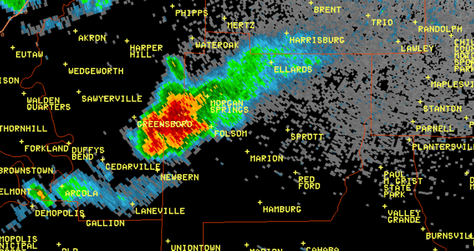
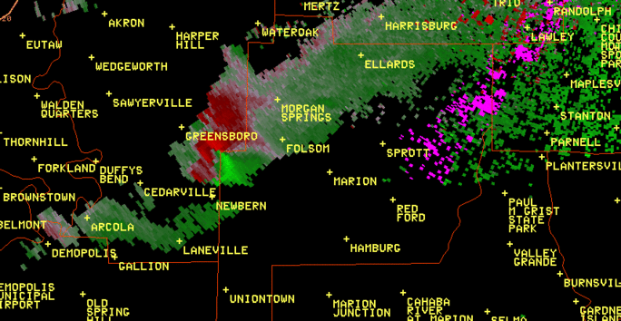
A National Weather Service Damage Assessment Team has surveyed the storm damage in central Perry County. It has been determined the damage was the result of a tornado. The tornado has been rated an EF-1 on the Enhanced Fujita Scale. Damage estimates were consistent with winds around 100 mph.
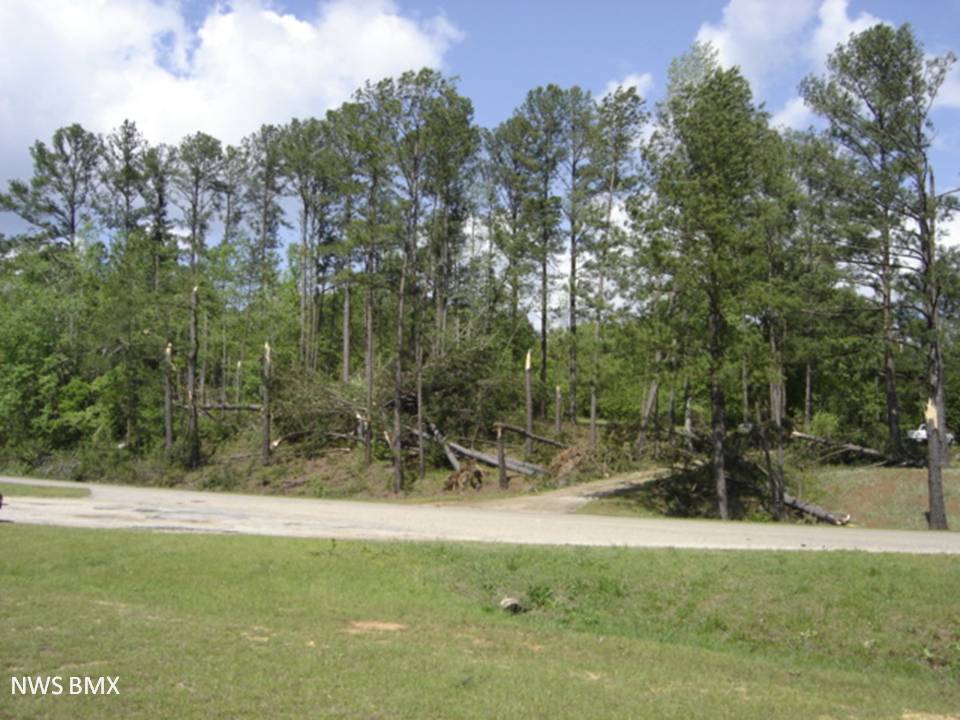
A tornado touched down about 1/2 miles west of County Road 7, north of the County Road 7/24 split. The tornado traveled east-northeast crossing over County Road 5 and lifting about 2 1/2 miles south of County Road 16. Along the path, approximately 100 hardwoods were snapped, and near the end of the path, several hardwoods were uprooted and a home sustained minor damage to shingles and facea. The tornado path was 1.25 miles long and 100 yards wide at its widest point.
|