|
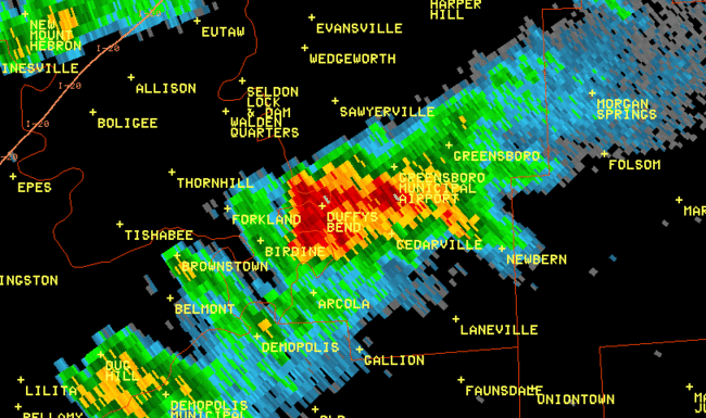
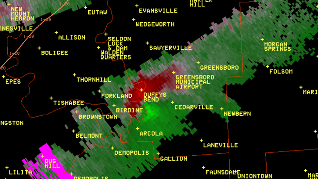
A National Weather Service Damage Assessment Team has surveyed the storm damage in Hale County. It has been determined the damage was the result of a tornado. The tornado has been rated an EF-0 on the Enhanced Fujita Scale. Damage estimates were consistent with winds around 60-70 mph.
A tornado touched down just to the west of AL-25 about 1 1/2 miles north of the the town of Whitsitt. The tornado traveled east-northeast over County Road 47 and lifted just to the east of AL-61, south of the County Road 24 intersection, for a total path length of 3.55 miles. Damage along the path included approximately 50 trees snapped or uprooted and a metal roof was peeled off of an outbuilding. At its widest point, the tornado path was 25 yards wide.
|