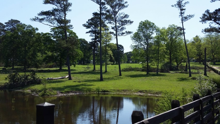
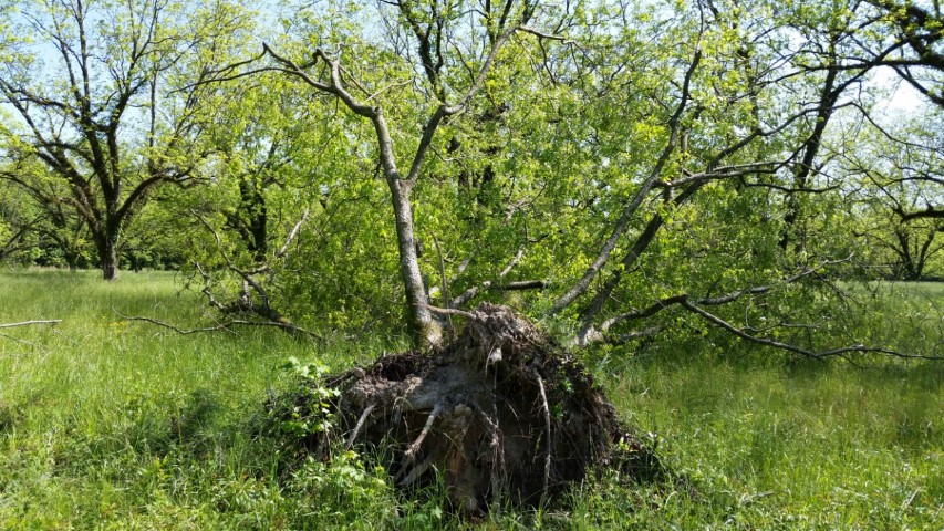
The tornado touched down in a pecan grove west of Peachburg Plantation uprooting a mature healthy pecan tree. It traveled northeast paralleling Peachburg Road snapping and uprooting numerous pines and hardwoods. It continued along a utility right of way and partially wooded land before crossing Peachburg Road, roughly a mile from touchdown, and lifted just after crossing the road. No structures were affected by this tornado. Maximum width was 150 yards and the total path length was 1.15 miles. Estimated peak wind was 95 mph.
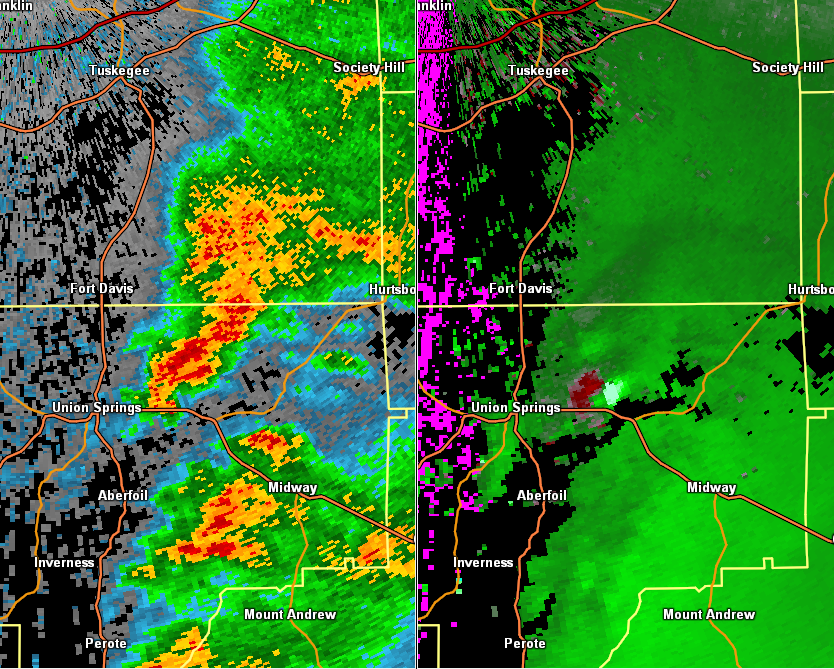
Radar Data
This is an image of the 0.5 degree reflectivity (left) and velocity (right) data from KMXX at 718 am.
Click to enlarge.