NWS Birmingham, Alabama
Weather Forecast Office
April 22, 2005 Cherokee County Tornadoes
National Weather Service meteorologists surveyed the damage across far northern Cherokee County. It was determined that the damage was the result of two distinct tornado damage paths. Both tornadoes have been rated an F0.
The first tornado touched down in Dekalb County in the Little River Canyon Wildlife Management area and crossed in Cherokee County for approximately 0.4 miles. The tornado crossed the county line near the confluence of Hurricane Creek and Little River and ended approximately 1.2 miles west of CR 103. Several trees were snapped off or uprooted along the short path in Cherokee County. The tornado occurred at 701 PM CDT. See the survey information from the National Weather Service Office in Huntsville.
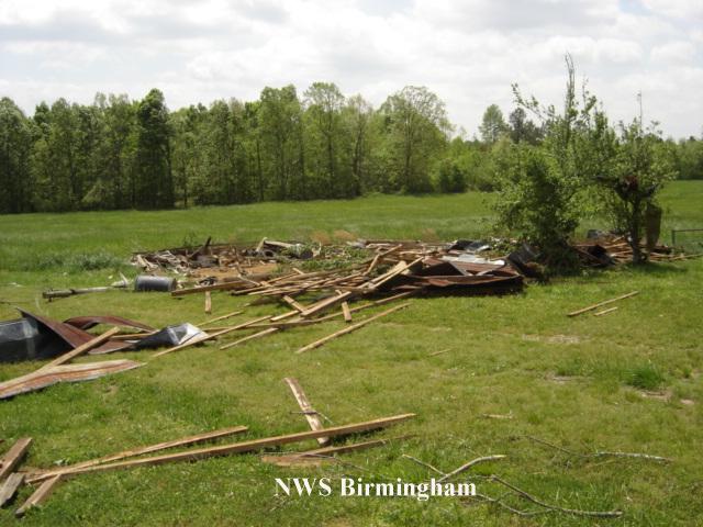
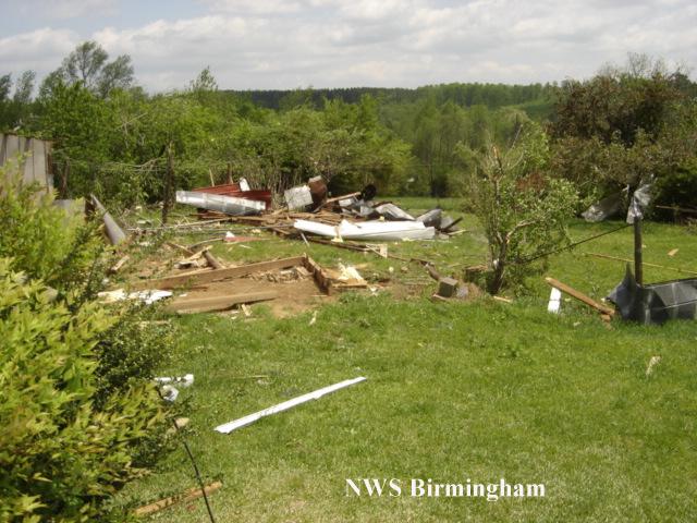
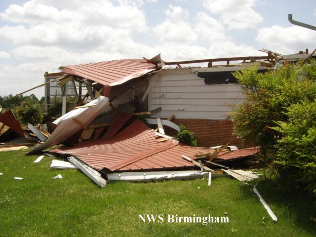
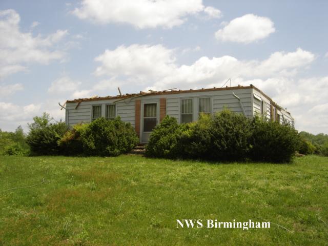
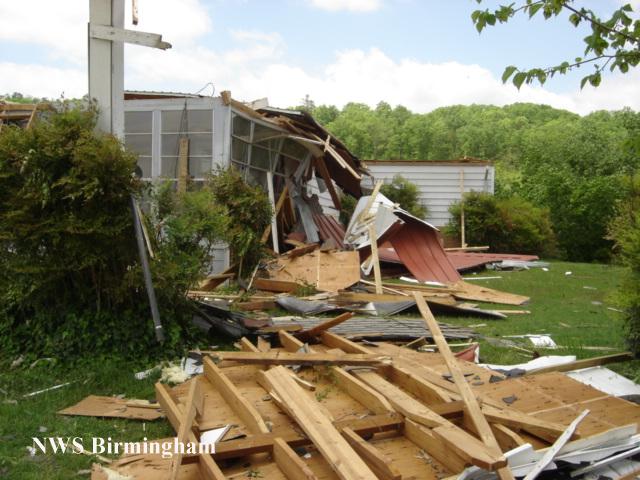
The second tornado touched down just west of CR 15...one mile north of Jamestown...around 703 PM CDT. It stayed on the ground for only about one minute...before lifting around 704 PM CDT. Total path length was one half of a mile with a path width of 75 yards at its widest point. This tornado...with winds of around 70 mph...resulted in multiple trees being uprooted or snapped...along with a porch of one home being completely destroyed. As this tornado crossed over CR 15...a 40 year old home had its tin roof blown off and received some structural damage including several windows being blown out. On this same property...three to four outbuildings were completely destroyed. There were no injuries or deaths associated with this tornado.
A tornado warning was in effect for northeastern Cherokee County from 654 PM CDT to 730 PM CDT. Severe thunderstorm watch number 190 was in effect for Cherokee and several other counties in central Alabama from 235 PM CDT to 900 PM CDT.
Current Hazards
National Outlooks
Tropical
Local Storm Reports
Public Information Statement
Graphical Hazardous Weather Outlook
Current Conditions
Regional Weather Roundup
Rivers and Lakes
Drought Monitor
Forecasts
Graphical Forecasts
Forecast Discussion
Air Quality
Fire Weather
Aviation Weather
Climate and Past Weather
Past Events
Storm Data
Tornado Database
Daily Rainfall Plots
Tropical Cyclone Reports
Monthly Climate
Annual Climate
Warnings and Other Products
Tornado Warnings
Severe Thunderstorm Warnings
Flash Flood Warnings
Winter Weather Warnings
Special Weather Statements
Non-Precipitation Warnings
Flood/River Flood Warnings
Productos en Español
Conciencia y Preparación
Previsión de 7 Días
Weather Safety
NOAA Weather Radio
Severe Weather Preparedness
Severe Safety Rules
Tornado Safety Rules
Severe Safety w/ ASL
Awareness Weeks
Severe Weather
Hurricane Preparedness
Summer Safety Campaign
Winter Weather
US Dept of Commerce
National Oceanic and Atmospheric Administration
National Weather Service
NWS Birmingham, Alabama
465 Weathervane Road
Calera, AL 35040
205-664-3010
Comments? Questions? Please Contact Us.