|
Event Summary
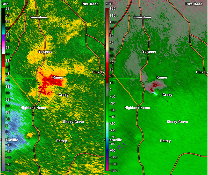
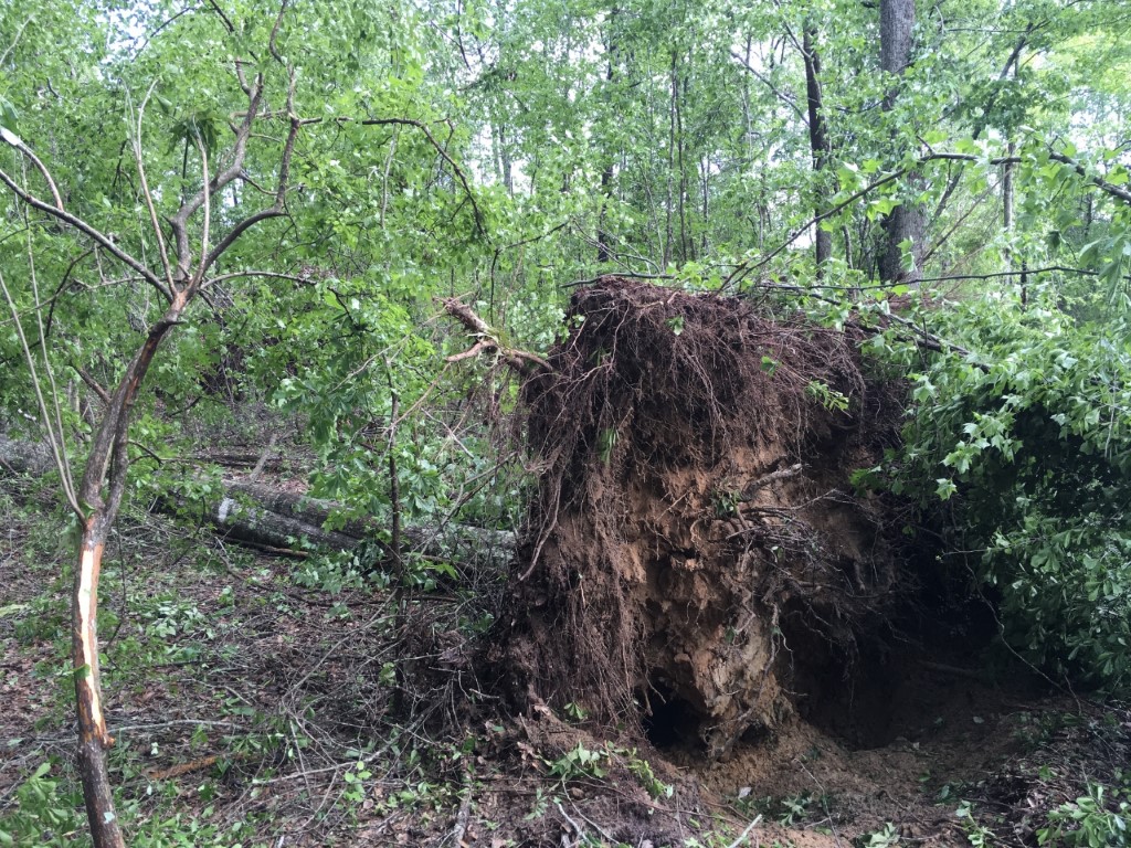
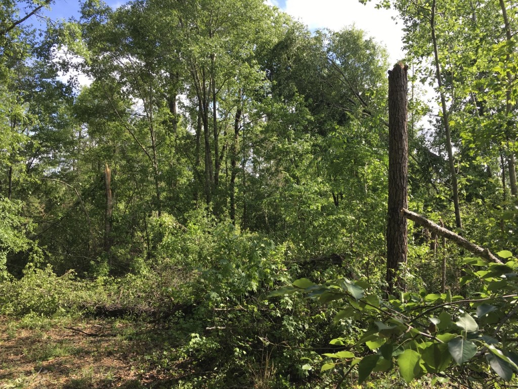
National Weather Service meteorologists surveyed damage in extreme southwest Mongomery County and determined that the damage was consistent with an EF-0 tornado. The tornado touched down just east of Philadelphia Church Road, northeast of Lapine and west of Grady. The tornado moved northeastward and crossed Philadelphia Church Road and Naftel Ramer Road. The tornado lifted just after it crossed Smiley Ferry Road. Several trees were uprooted or snapped along the damage path. The most concentrated area of damage was just as the tornado was lifting near Smiley Ferry Road, but still limited to tree damage.
A special thanks go out to Mark Higgins for his survey assistance and land access.
|