|
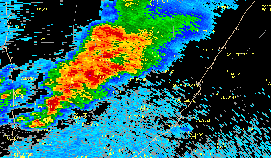
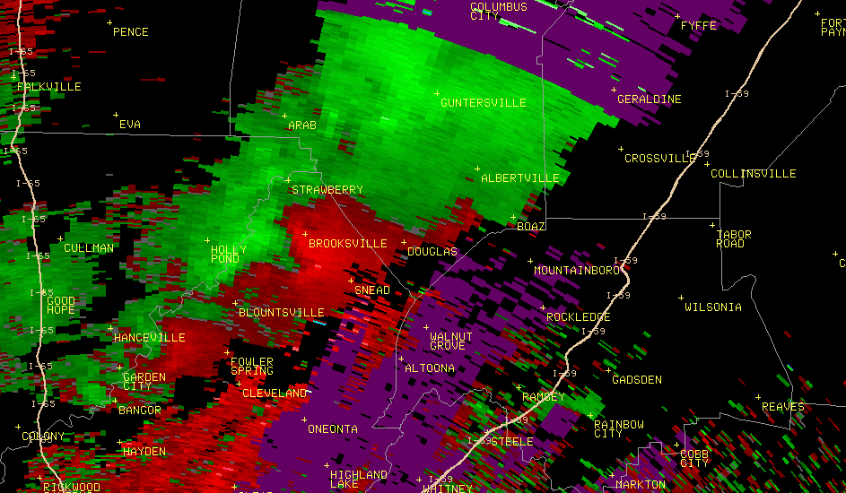
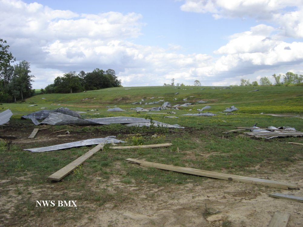
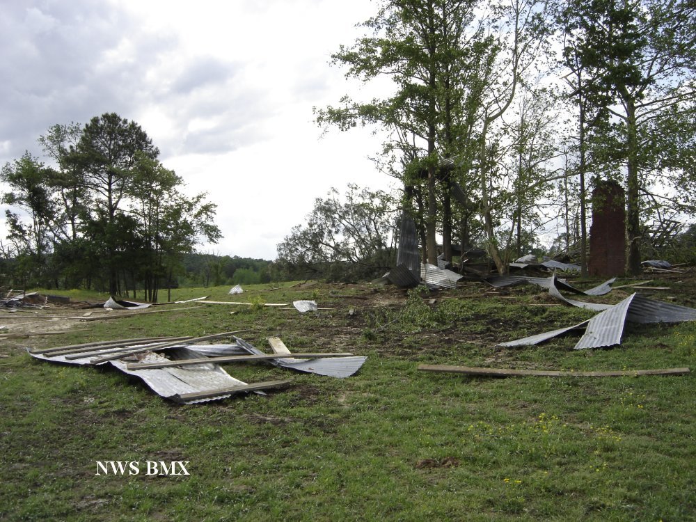
A National Weather Service Damage Assessment Team has surveyed the storm damage in Blount County. It has been determined the damage was the result of a tornado. Within Blount County, the tornado caused EF-1 damage on the Enhanced Fujita Scale. Damage estimates were consistent with winds around 100 mph. This tornado would continue on into Marshall and Dekalb Counties, causing substantial damage in the Albertville and Geraldine communities.
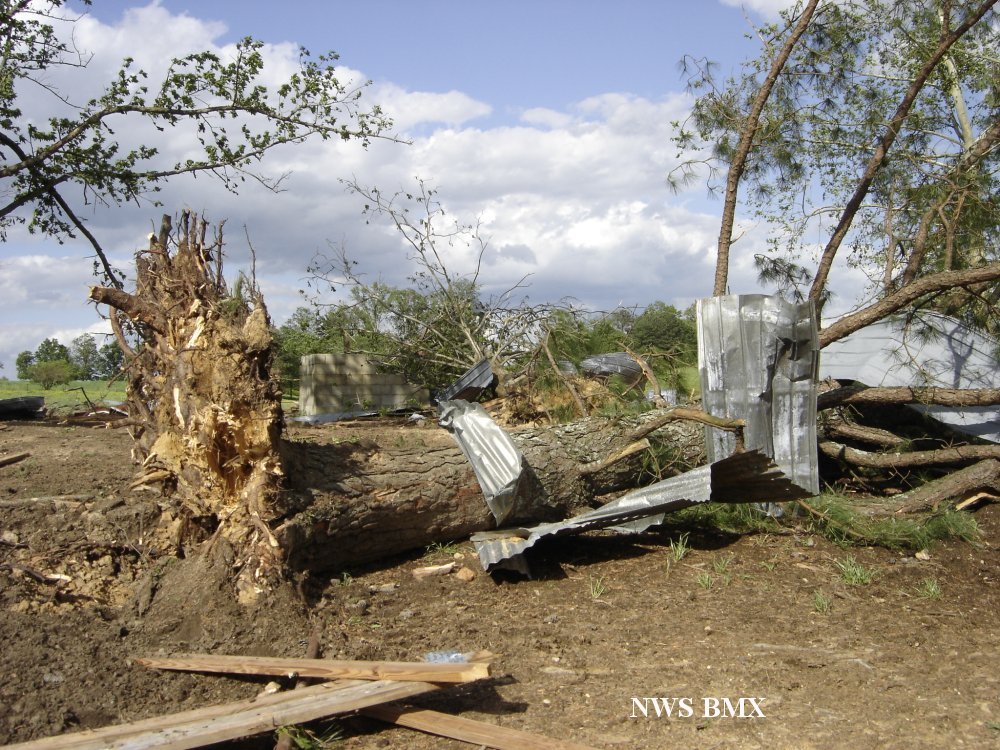
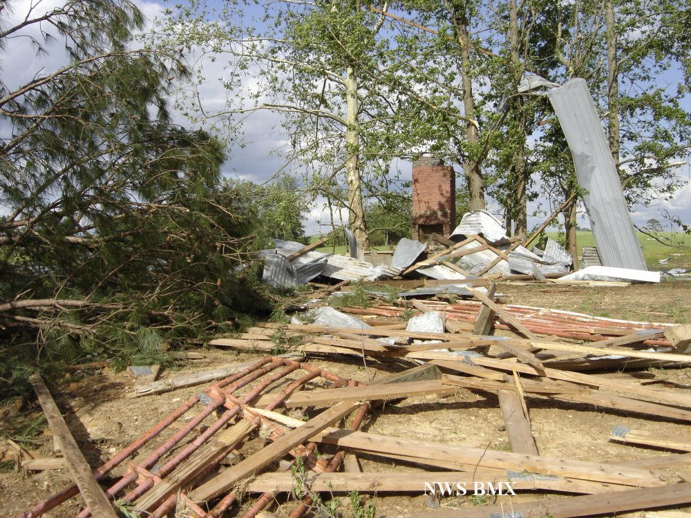
The tornado formed 4 miles northeast of Brooksville and tracked northeastward. It was on the ground for less than a mile, before moving acorss the county line into Marshall County just west of the intersection of Panky Lane and Nixon Chapel Road. Within Blount County, two structures were damaged and hundreds of trees were snapped and uprooted. One mobile home was moved off its foundation and also damaged by fallen trees. One barn was destroyed, and one SUV was heavily damaged by a fallen tree.
|