National Weather Service United States Department of Commerce

Fayette County EF-1 Tornado  
April 24, 2010


EF-1
Estimated Maximum Wind:
100 mph
Injuries/Fatalities:
None
Damage Path Length:
6.6 miles
Maximum Path Width:
200 yards
Approximate Start Point/Time:
33.6024/-87.6769 at 806 pm
Approximate End Point/Time:
33.6494/-87.5778 at 817 pm

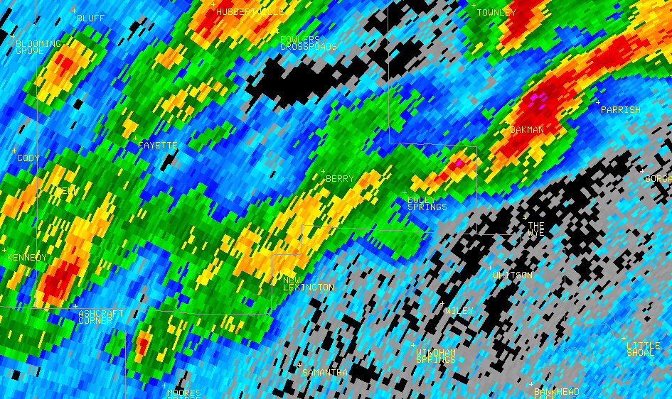
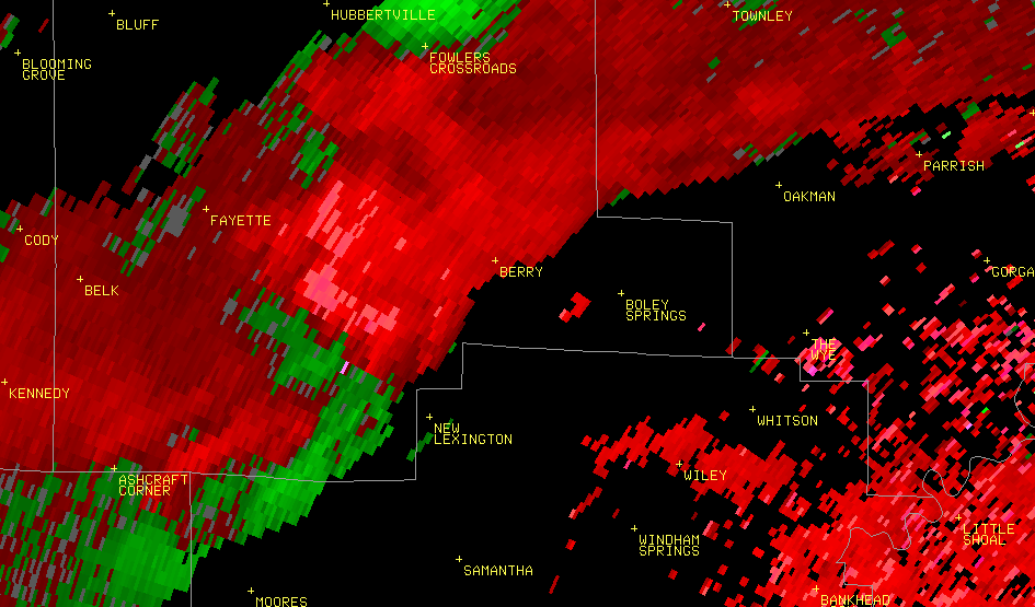
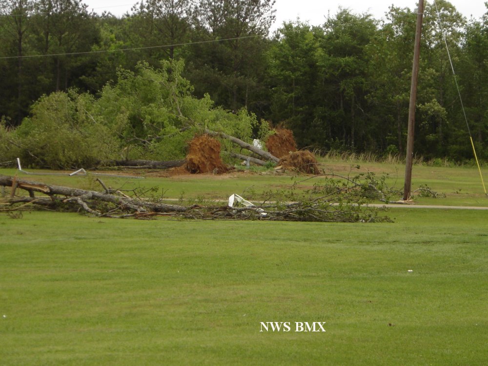
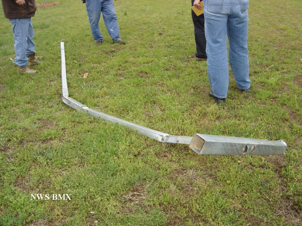
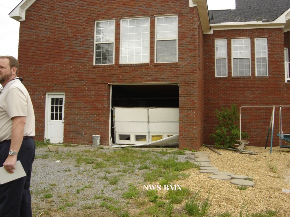
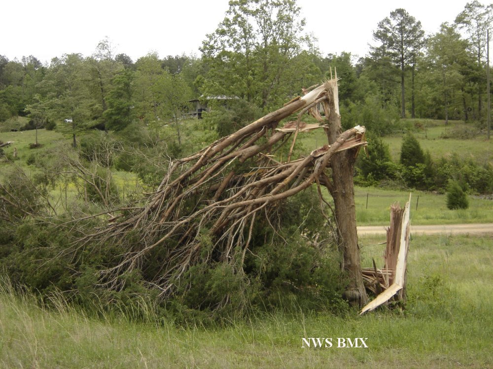
A National Weather Service Damage Assessment Team has surveyed the storm damage in Fayette County. It has been determined the damage was the result of a tornado. The tornado has been rated an EF-1 on the Enhanced Fujita Scale. Damage estimates were consistent with winds around 100 mph with a damage path 200 yds wide at its widest point.

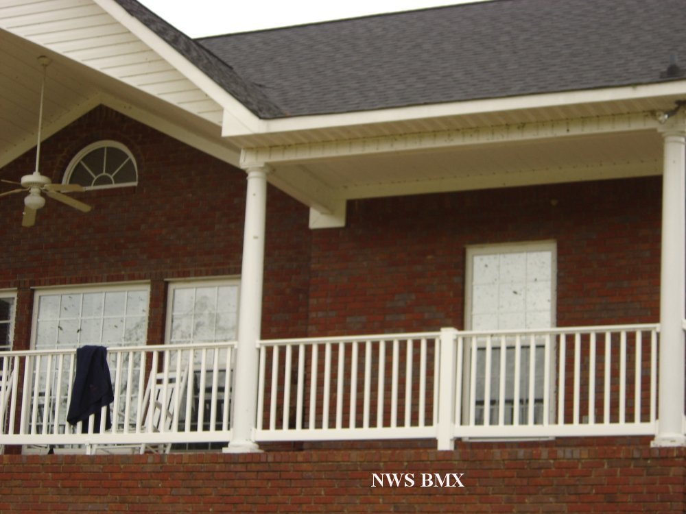
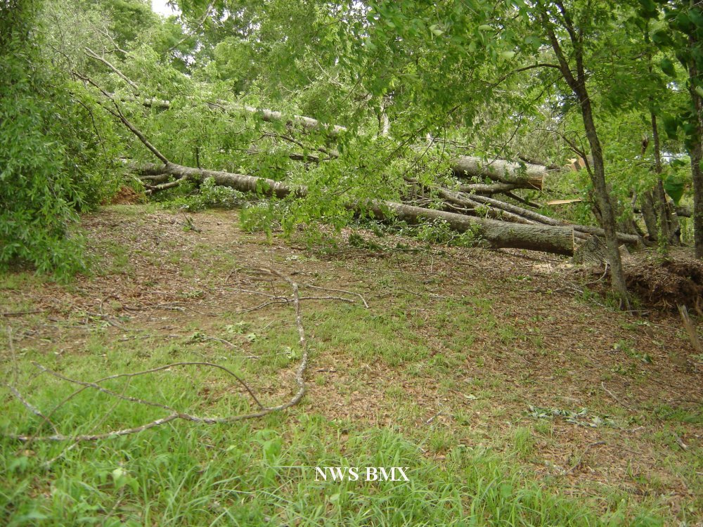
A tornado formed 2 miles southwest of the intersection of Highway 43 and County Road 26.  The tornado tracked northeast for 6.6 miles. The tornado dissipated 1 mile southeast of Berry. Several hundred trees were snapped off or were uprooted along the path. Four homes received minor damage.


The top image is the 0.5 degree reflectivity data and the bottom image is the 0.5 degree storm relative velocity data of the lifespan of the storm.  This is the beginning a storm that created two separate tornadoes.  The radar imagery is from KBMX in Calera, AL.


Tree Damage and Debris
Tree Damage & Debris 

Debris
Debris

Home Damage
Home Damage

Home Damage
Home Damage

Tree Damage
Tree Damage

Tree Damage
Tree Damage