|
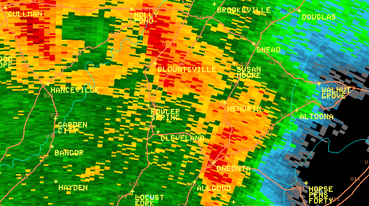
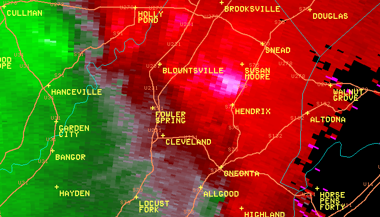
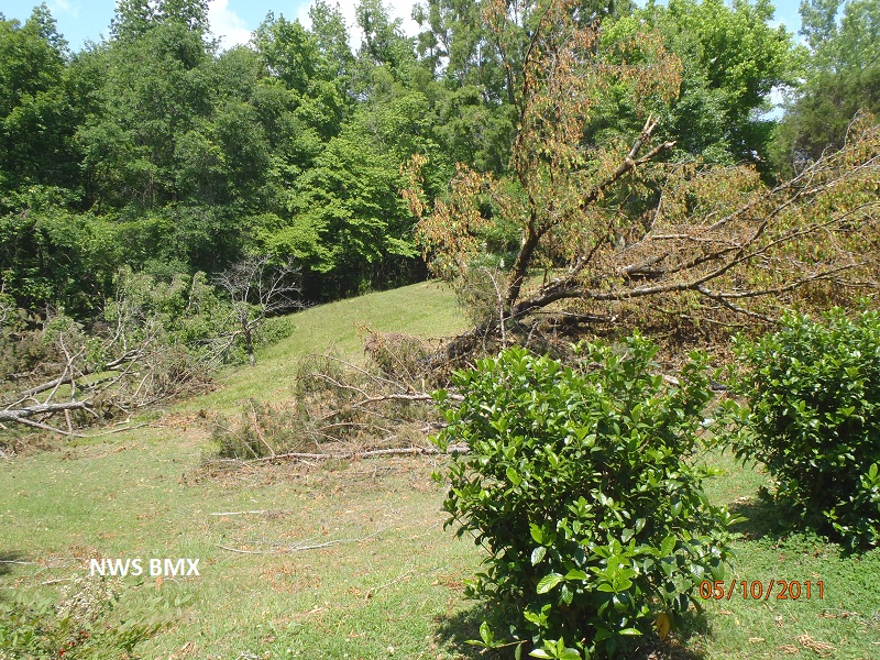
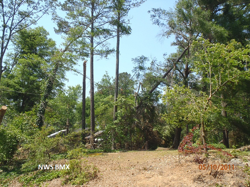
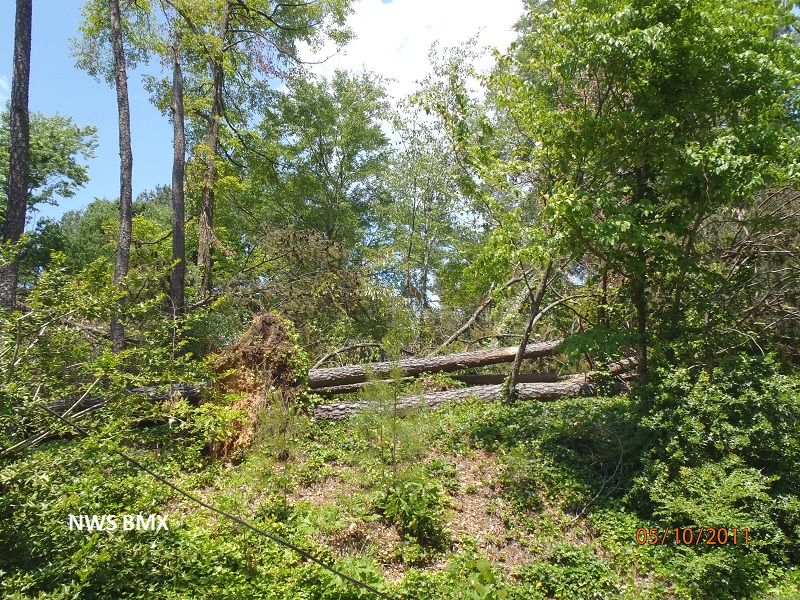
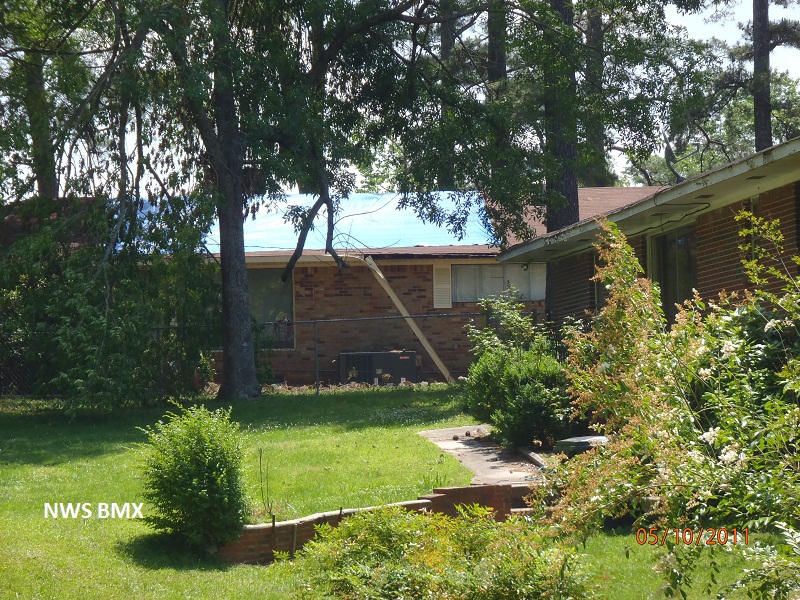
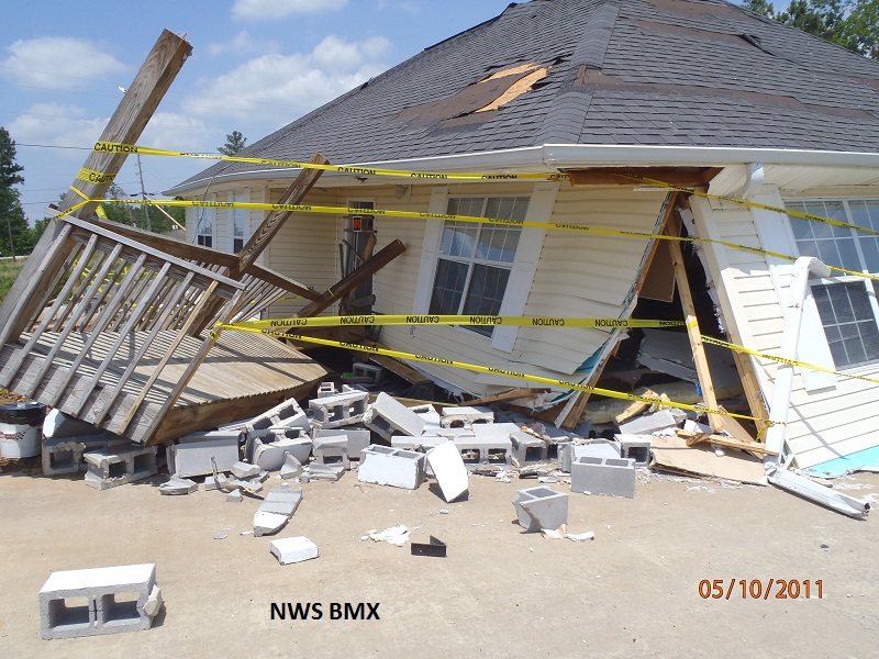
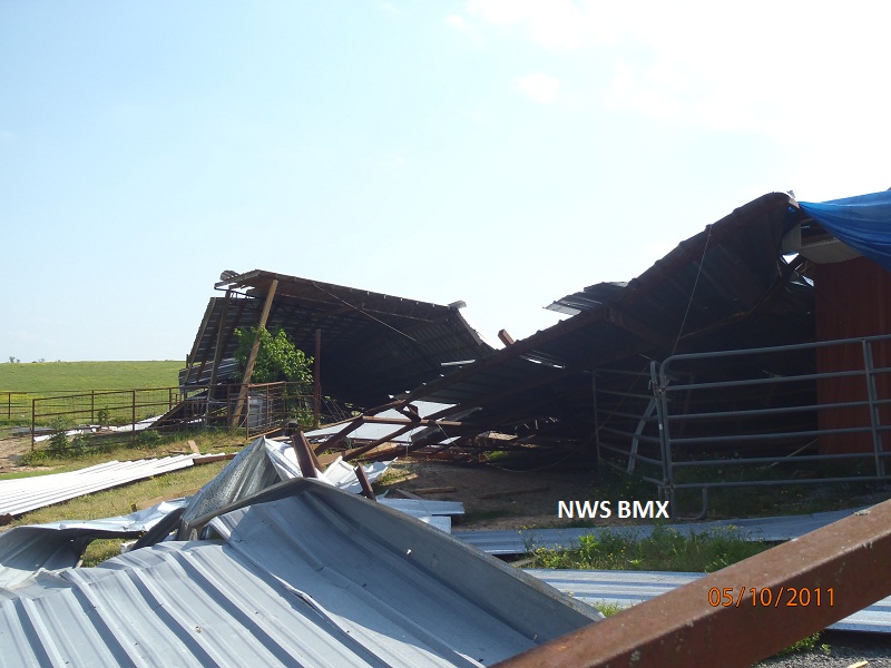
National Weather Service meteorologists surveyed damage in Blount County. The damage found was consistent with a tornado. A tornado developed along a Quasi-Linear Convective System. It touched down in north central Blount County, northeast of Blountsville, and tracked northeastward into Marshall County. The damage along this track in Blount County was consistent with an EF1 tornado with winds at 105 mph. The tornado touched down along AL Hwy 79, northeast of CR 26 where it knocked down trees and caused minor roof damage to two chicken houses. The tornado moved northeast and maintained a narrow path width which averaged less than 0.10 mile (176 yds). The tornado crossed US Hwy 278 east of Brooksville and moved into Marshall County near CR 21. Along the path, the tornado knocked down hundreds of trees. Several homes sustained damage due to fallen trees. In addition, several outbuildings and barns were destroyed.
The tornado touched down in Blount County and lifted in Marshall County. Therefore, the total tornado damage path was 14.83 miles long. Additionally, the tornado damage was rated an EF-1 in both counties. The tornado was 200 yards wide at its widest point in Blount County.
|