|
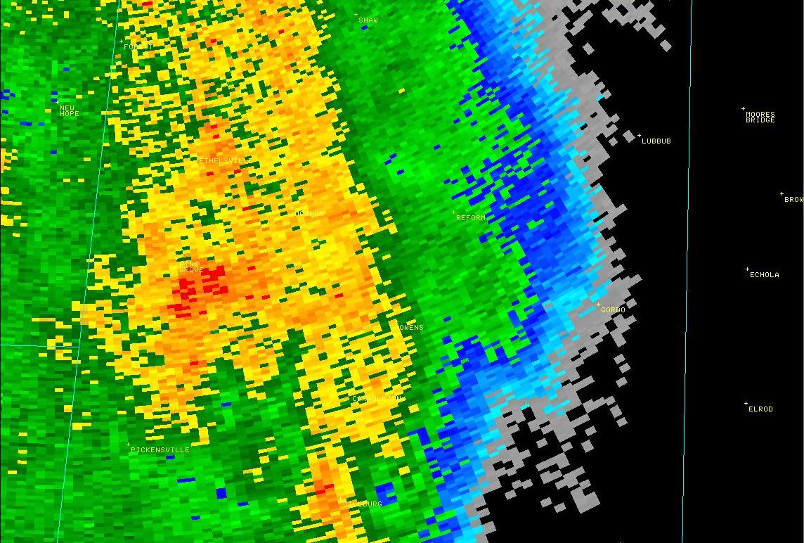
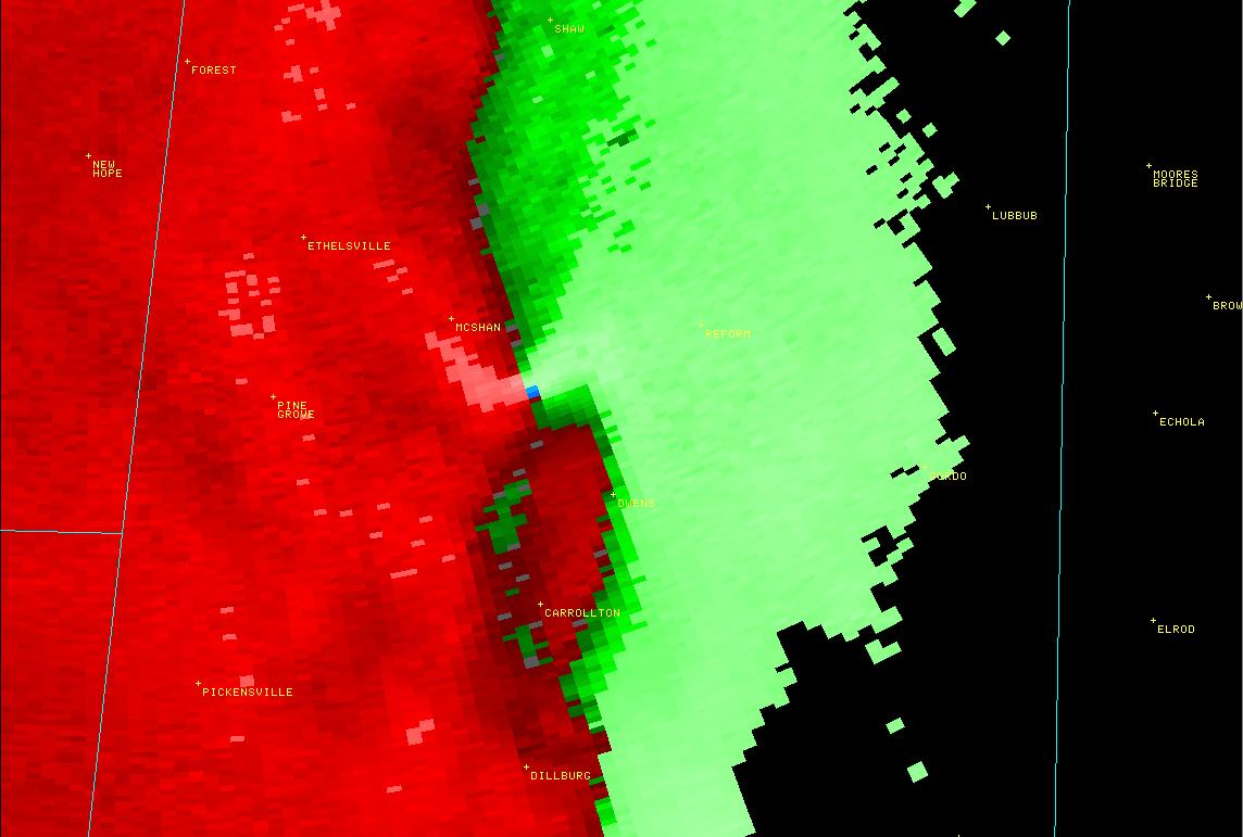
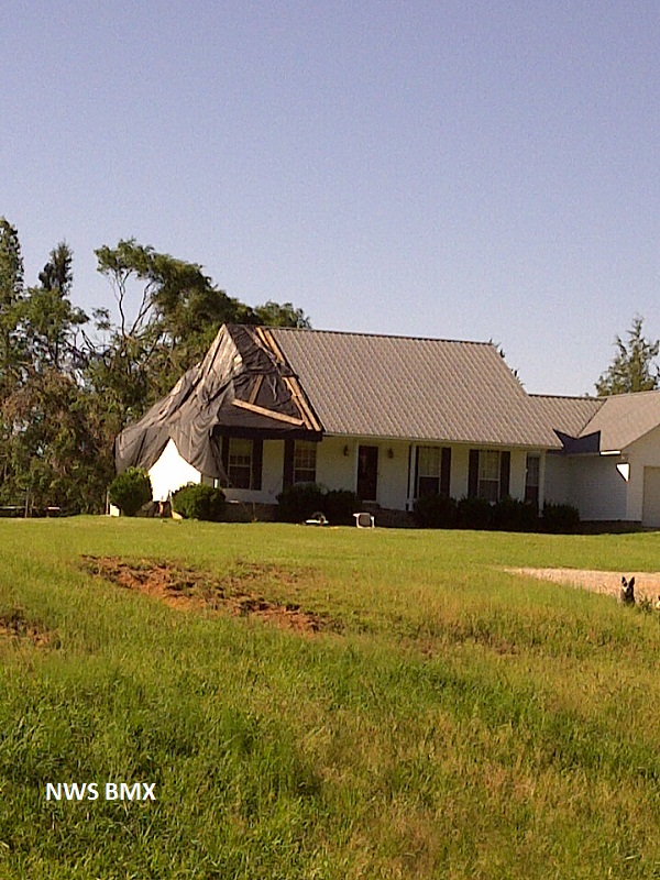
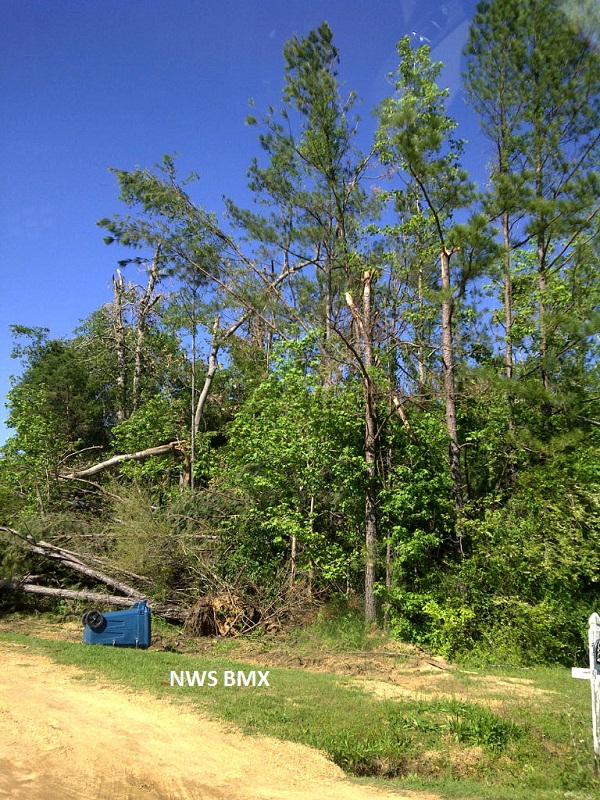
National Weather Service meteorologists surveyed damage across central Pickens County. It has been determined that the damage was consistent with a tornado. Winds were estimated at 120 mph. A tornado developed along a Quasi-Linear Convective System. It touched down in central Pickens County, northwest of Carrollton, near the intersection of CR 7 and CR 26, where trees were snapped off. The tornado moved northeast and strengthened to an EF2 rating with winds of 120 mph as it approached CR 35 where it downed thousands of trees. The tornado crossed US Hwy 82 and AL Hwy 17 where it caused mostly tree damage across northwestern portions of Reform. East of AL Hwy 17, at least two outbuildings sustained roof damage along CR 3. Near the end of the tornado path, several homes and outbuildings were damaged. One home sustained minor wall damage and significant roof damage. The tornado lifted along CR 3, south of CR 57.
|