|
Event Summary
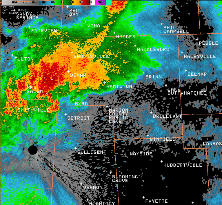
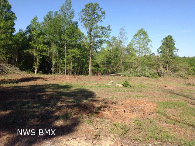
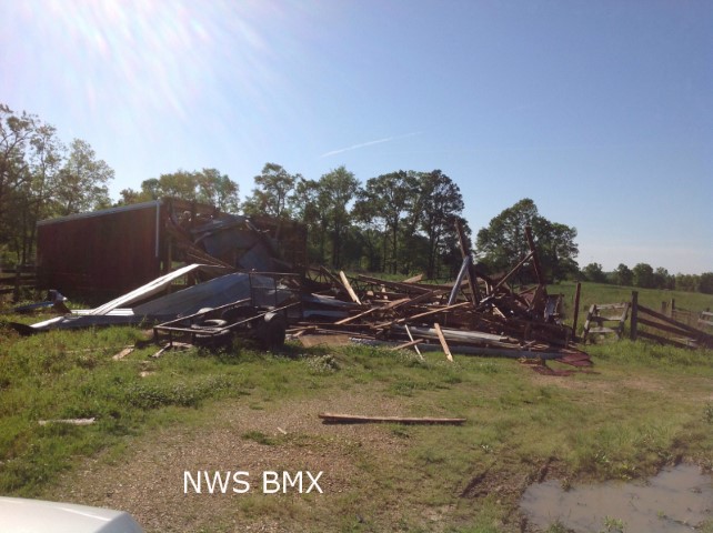
A National Weather Service storm survey team investigated damage in Marion County and determined it was consistent with an EF-0 tornado.
This tornado touched down near the intersection of County Road 75 and Bishop Road, in a rural area northwest of the city of Hamilton. It remained in a largely rural area as it travelled about 7.6 miles northeastward across the middle of Marion County between the cities of Hamilton and Hackleburg. Damage was primarily confined to uprooted trees and branches that were snapped off. One building on County Road 29 had some shingles blow off and a shed in the same area was damaged. After crossing Highway 187, the tornado lifted along Highway 43 just before it reached the Hackleburg city limits.
|