|
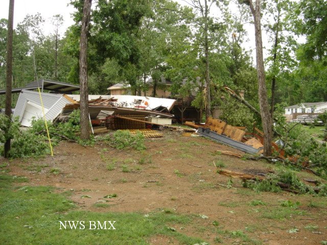
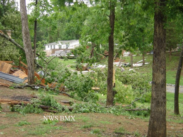
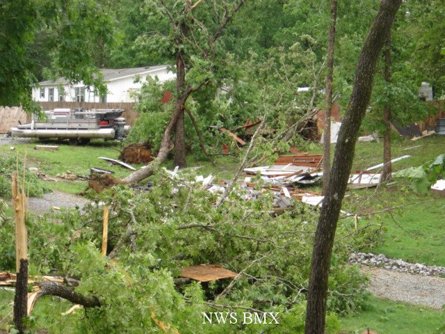
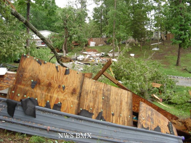
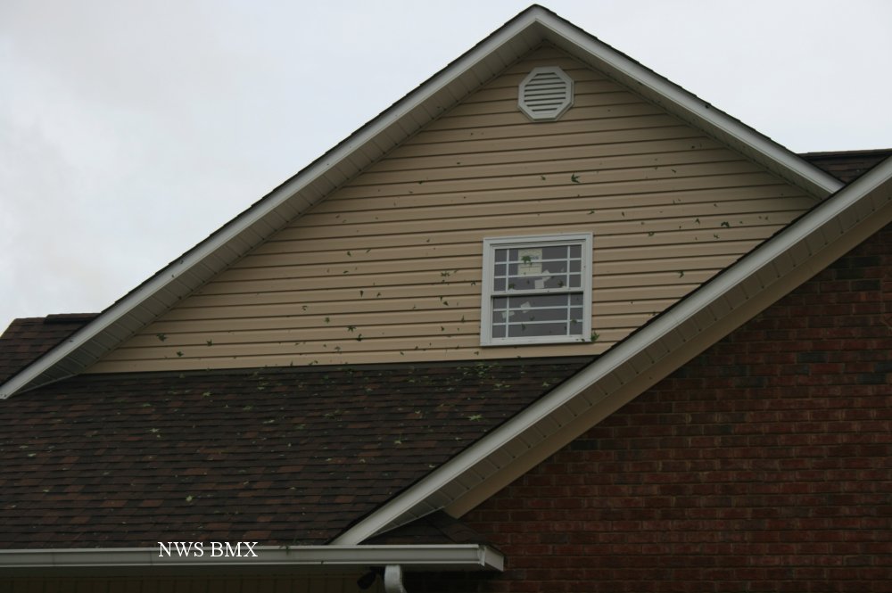
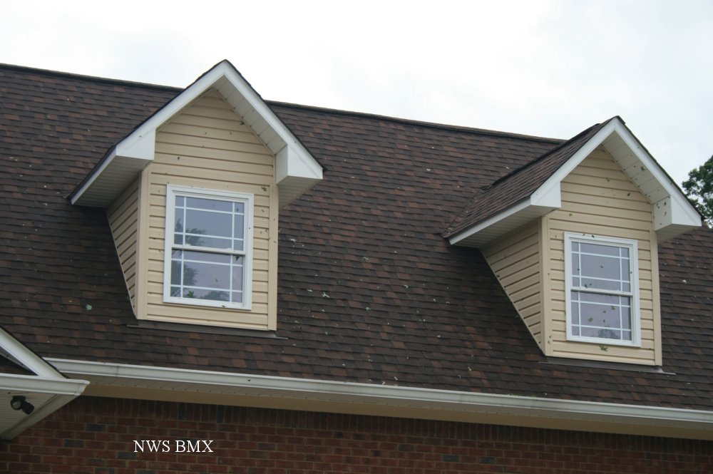
A National Weather Service Damage Assessment Team has surveyed the storm damage in St. Clair County. It has been determined the damage was the result of a tornado. The tornado has been rated an EF-1 on the Enhanced Fujita Scale. Damage estimates were consistent with winds between 90 and 100 mph.
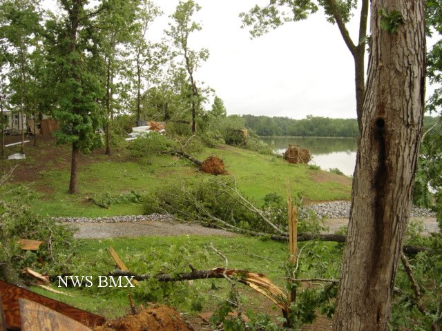
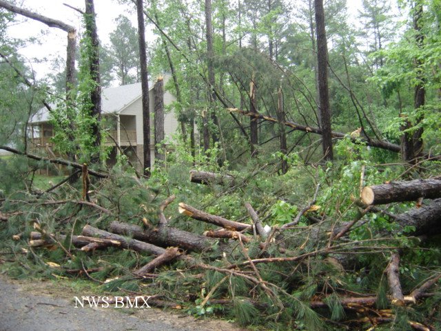
A tornado touched down in Pleasant Grove along County Road 27. The tornado tracked northeastward and generally paralleled County Road 27 and Wolf Creek. The tornado crossed Interstate 20 near the intersection of US Highway 231 in Pell City. The tornado continued northeastward all the way to the Coosa River just beyond the River Ranch Road Community. Numerous trees and power poles were snapped off along the path. Many fallen trees and power poles landed on homes and outbuildings.
|