|
Event Summary
|
|
EF-0
|
|
Estimated Maximum Wind:
|
75 mph
|
|
Injuries/Fatalities:
|
None |
|
Damage Path Length:
|
3.76 miles
|
|
Maximum Path Width:
|
175 yards
|
|
Approximate Start Point/Time:
|
5 NNW Griffen Mill
32.6036/-85.2891
at 7:21 PM CDT
|
|
Approximate End Point/Time:
|
4 WNW Bleecker
32.6022/-85.2248
at 7:26 PM CDT
|
A line of severe thunderstorms moved across parts of Central Alabama during the evening hours on May 3. One weak tornado formed within the line near Salem in Lee County.
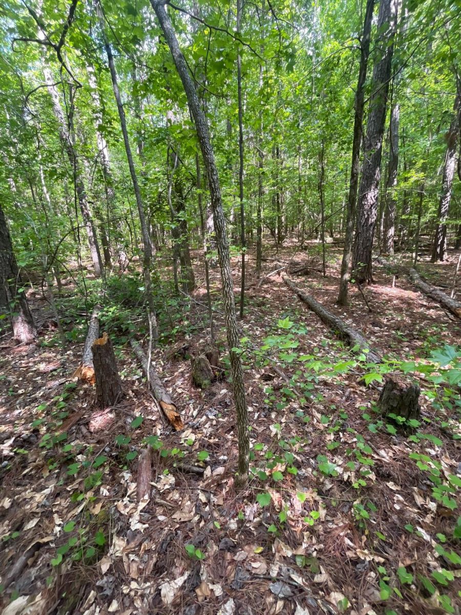
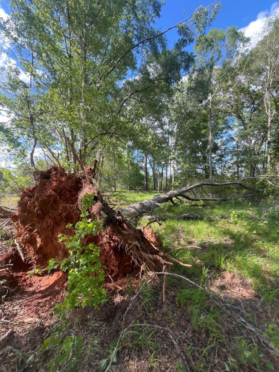
The tornado began over a wooded area east of Lee Road 151, northeast of the NCAT Test Track. The start point was estimated using radar data as the area was inaccessible by roads. Moving slightly south of due east, the tornado passed just north of Lee Road 2119, where a few small trees or limbs were snapped on Lee Road 187. By this point a Tornado Debris Signature (TDS) was evident on radar. On Lee Road 749, a few small pine trees had the tops snapped or limbs snapped off. Little damage was noted across Highway 280 near Dudley Lumber, but more significant tree damage was noted on property just northwest of Wacoochee Elementary School. Numerous trees were uprooted and limbs were snapped across the property, in line with the TDS on radar. One tree limb fell on part of a home, causing very little damage. Tree damage continued to just northeast of a large pond, where the track ended. NWS Birmingham would like to thank Lee County EMA for conducting this survey.
|