|
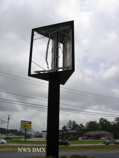
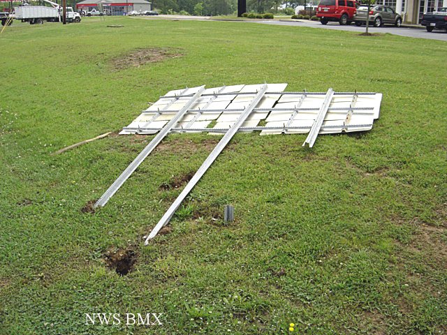
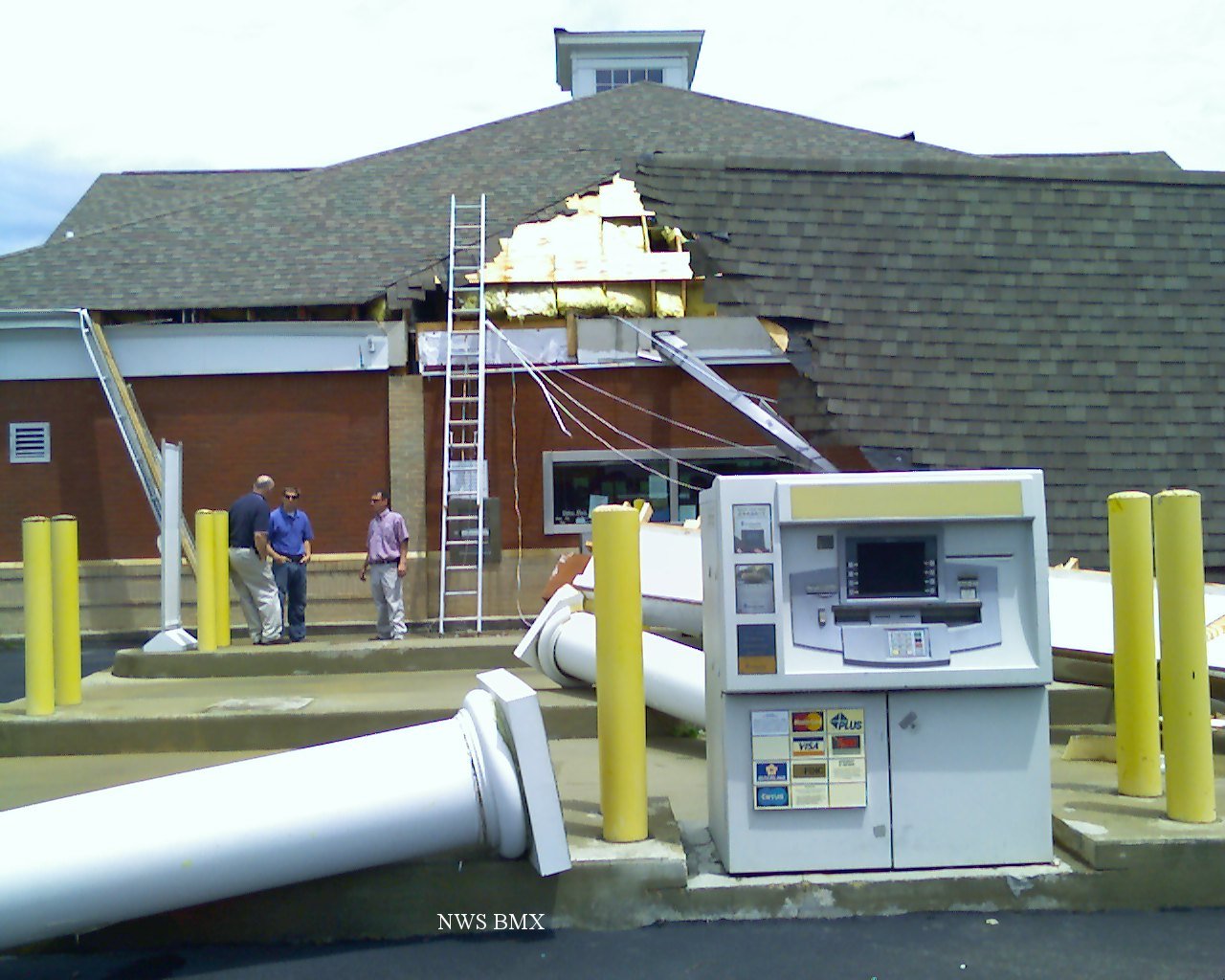
A National Weather Service Damage Assessment Team has surveyed the storm damage in Walker County. It has been determined the damage was the result of a tornado. The tornado has been rated an EF-0 on the Enhanced Fujita Scale. Damage estimates were consistent with winds between 70 and 80 mph.
A tornado touched down near the eastern city limits of Jasper tracking eastward across Highway 78 lifting near Golf Course Road. Five structures were damaged including a bank drive through that was detached and rotated 90 degrees and two car dealerships. At the dealerships...forty cars were totaled mostly due to broken windows resulting in water damage and three air handlers atop the dealerships were rolled. In addition, numerous trees were uprooted. A billboard was also impaled by a fiberglass missile. A special thanks to the Walker County Emergency Management Agency for help collecting the assessment information.
|