Walker County Tornado - May 11th, 2008
|
Rating:
(Click for EF Scale) |
EF-1
|
|
Estimated Maximum Wind:
|
95 mph
|
|
Injuries/Fatalities:
|
None
|
|
Damage Path Length:
|
9.2 miles
|
|
Maximum Path Width:
|
400 yards
|
|
Approximate Start Point:
|
33.9433/-87.2472
at 1227 AM |
|
Approximate End Point:
|
33.9023/-87.0928
at 1239 AM |
|
KML/KMZ File :
|
 |
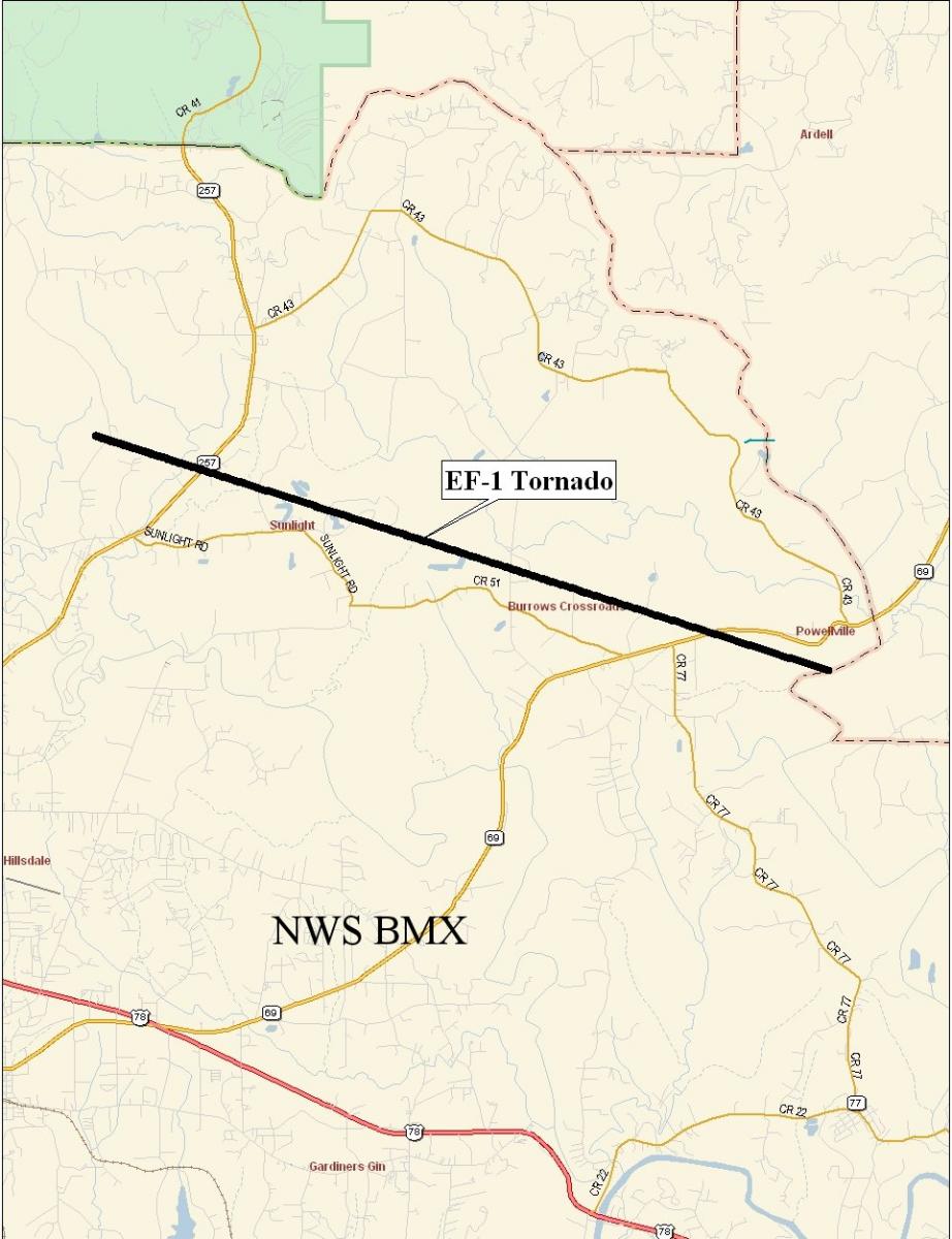
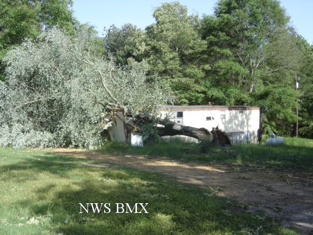
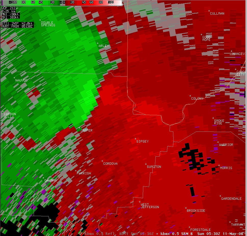
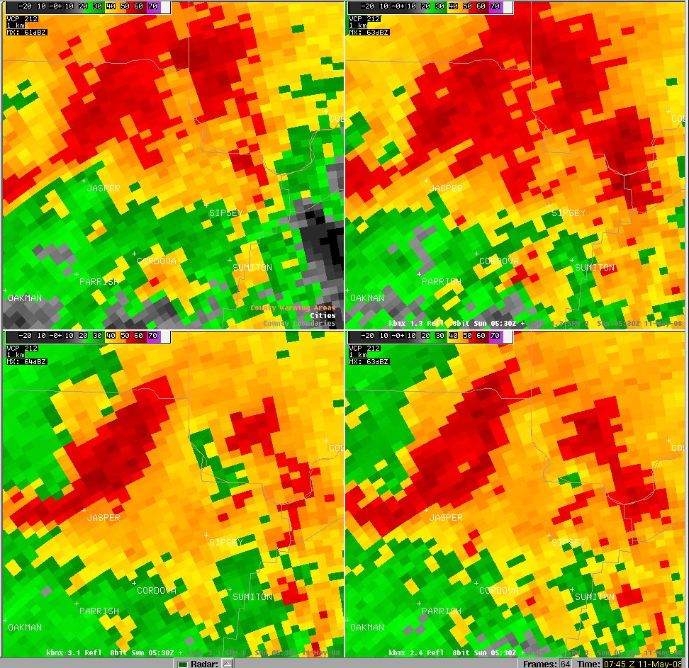
A National Weather Service Storm Assessment Team has determined that the damage in eastern Walker County was the result of a tornado. The tornado has been rated an EF1 on the Enhanced Fujita Scale. Damage estimates were consistent with winds around 95 mph. The tornado damage path was 9.3 miles long and was 400 yards wide at its widest point.
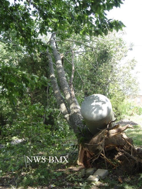
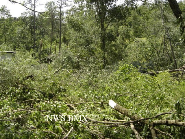
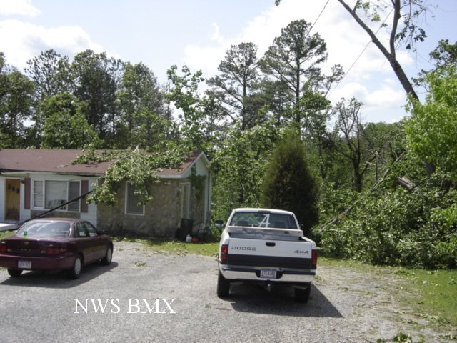
The tornado touched down near the intersection of Birdfarm Road and Snow Lake Road. The tornado then moved southeast and crossed State Highway 257 and State Highway 69 before it lifted near the Cullman County line. The tornado affected areas near the Sunlight Community, the Burrows Crossroads Community, and the Powellville Community. Numerous trees were either snapped off or were uprooted along the path. Several structures suffered varying degrees of damage. No injuries were reported. This storm did produce additional sporadic straight line wind damage from north central Walker County into northeast Walker County.
|
|
||||||||||||||||