|
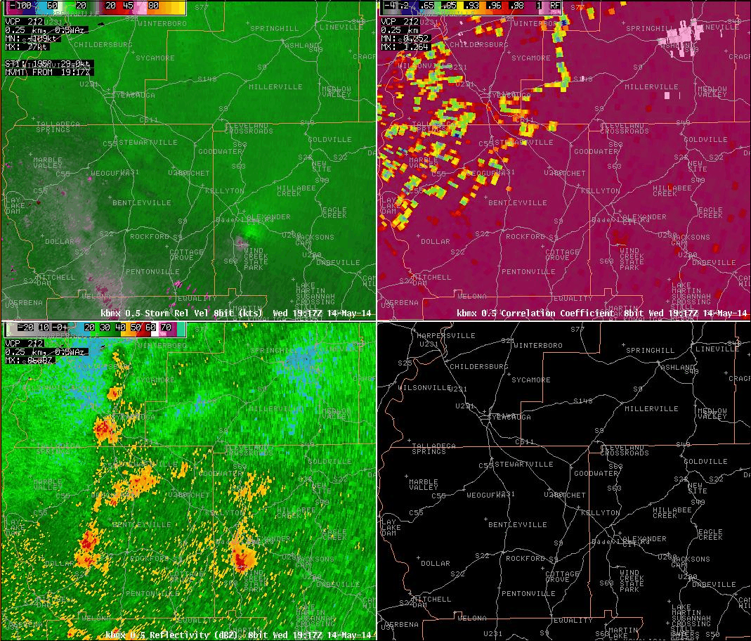
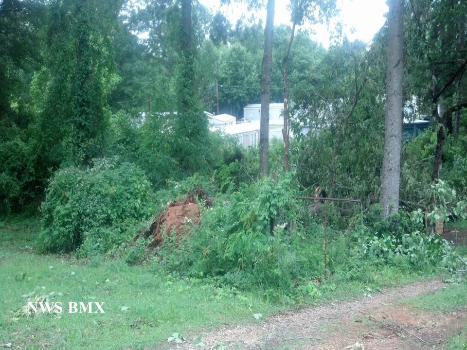
National Weather Service meteorologists surveyed the damage in Tallapoosa County and have determined that the damage was due to an EF-0 tornado. Maximum winds were estimated to be 85 mph.
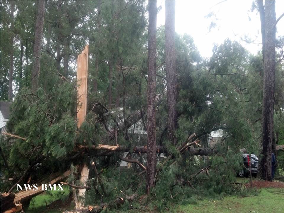
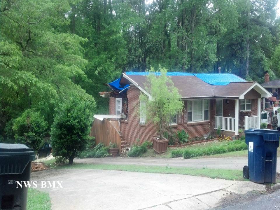
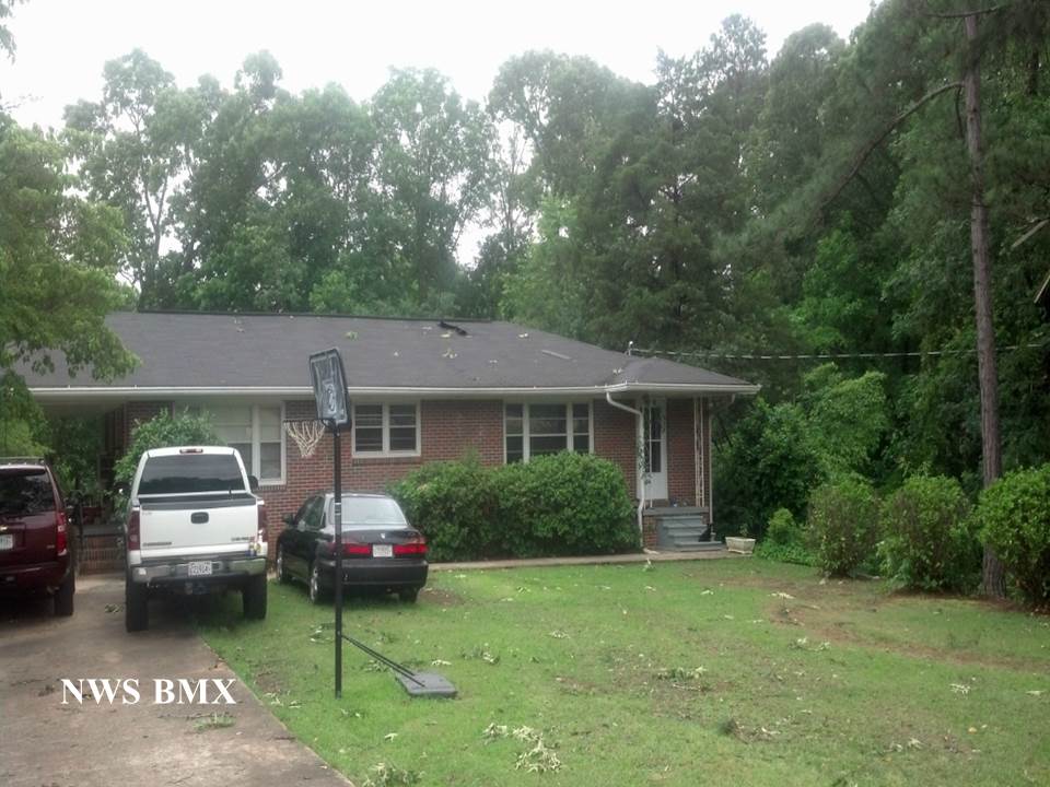
The tornado touched down near the intersection of Dean Road and Sunset Ridge just south of U.S. Highway 280. Here only a couple of trees were uprooted. The tornado continued northward, crossed U.S. Highway 280, and uprooted between one and two dozen trees in the Fairlane community along Fairlane Circle. One house in this community sustained damage due to a fallen tree, and one car had a pine tree land on it. Crossing Dadeville Road, the tornado ripped an awning off of a church, removed shingles from a house, and uprooted several hardwood trees along Davis Road and Wayside Circle. The tornado crossed Sanders Road causing minor tree damage before ending just to the south of Jim Pearson Elementary School along Scott Road.
A special thanks to Tallapoosa County Emergency Management for their assistance.
|