National Weather Service United States Department of Commerce


Central Alabama Impacts from Ida
August 30-31, 2021

Overview
 

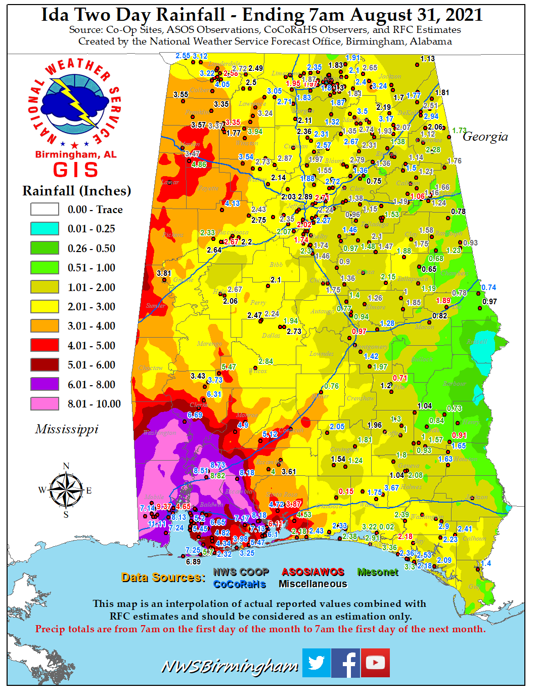
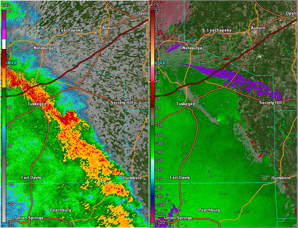
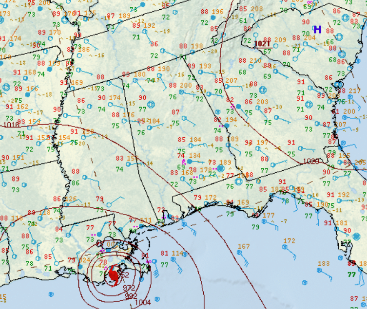
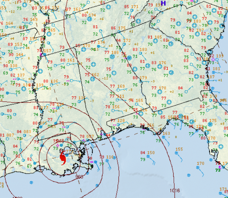
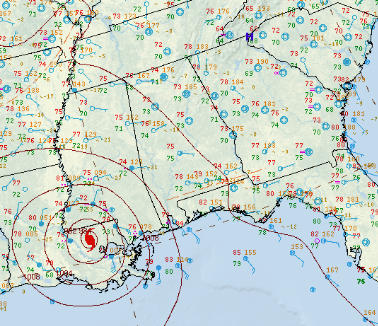
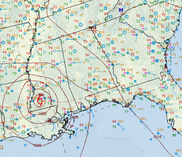
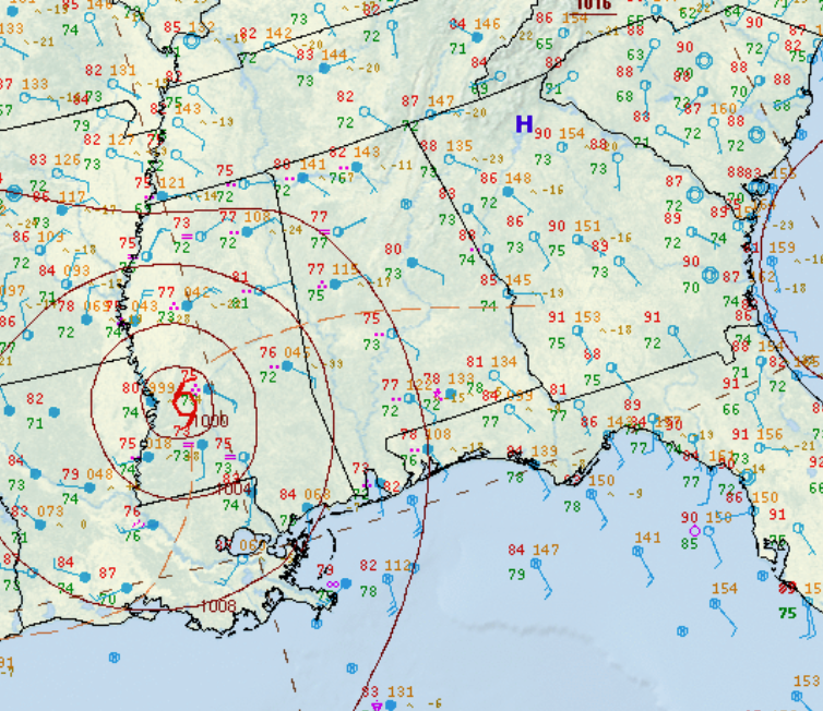
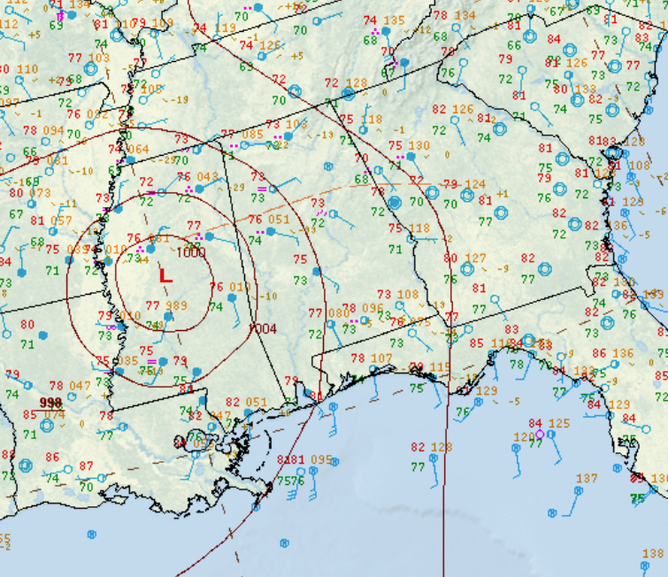
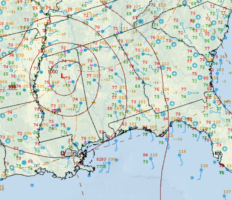
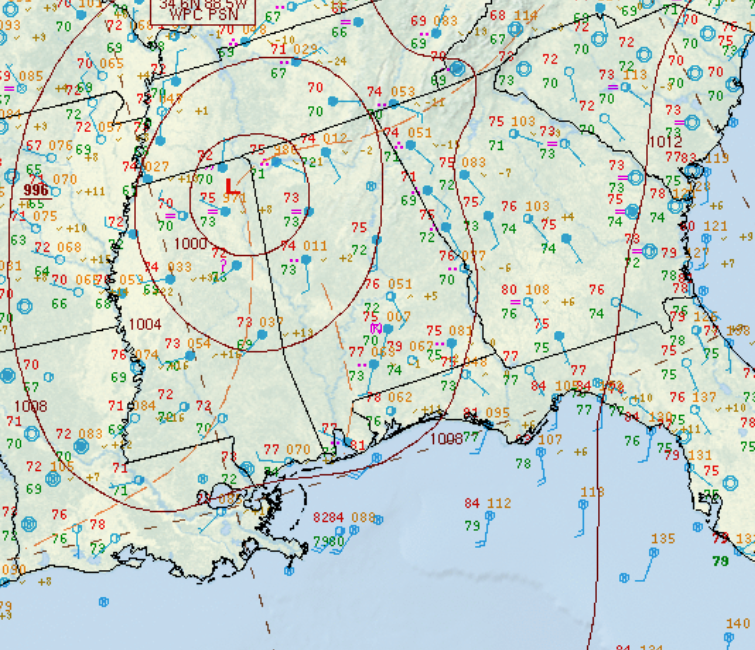
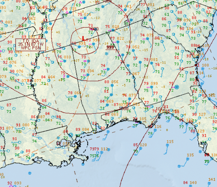
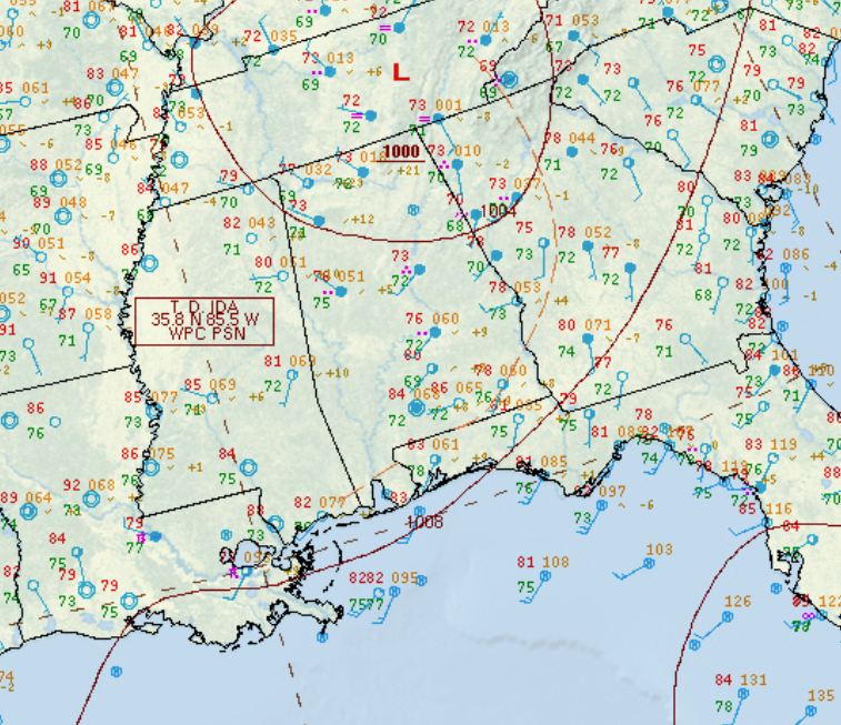
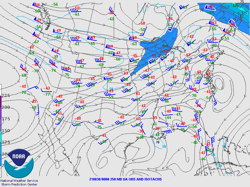
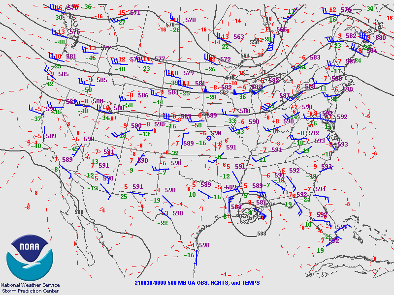
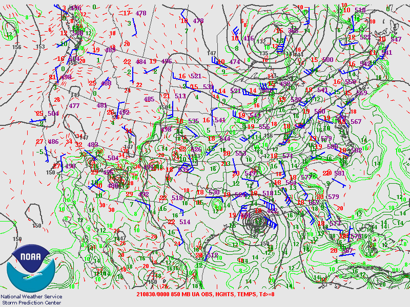
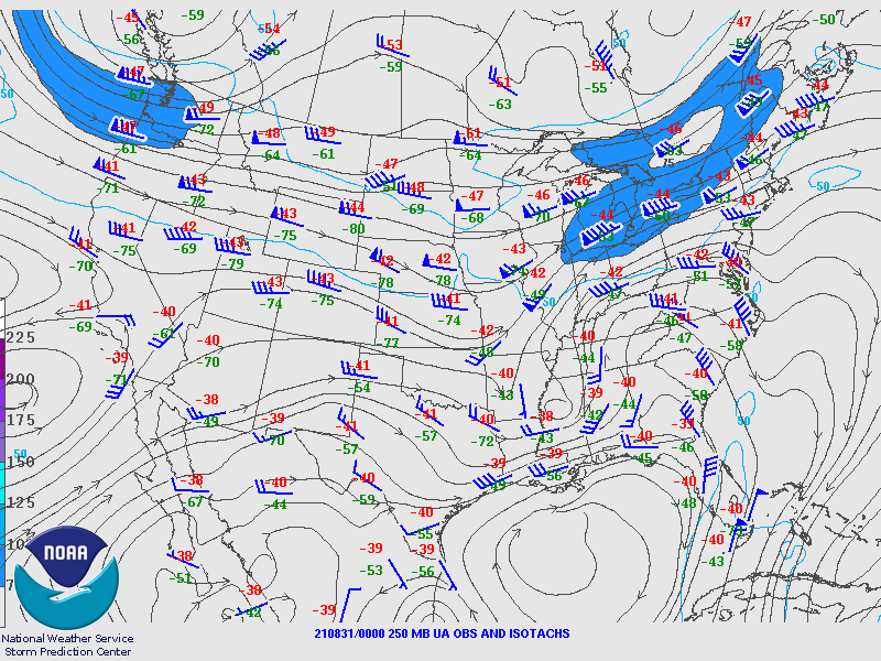
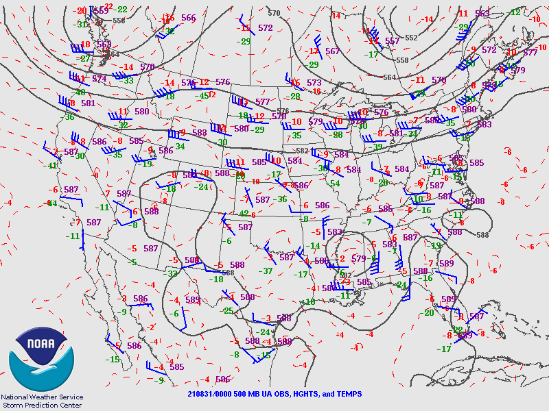
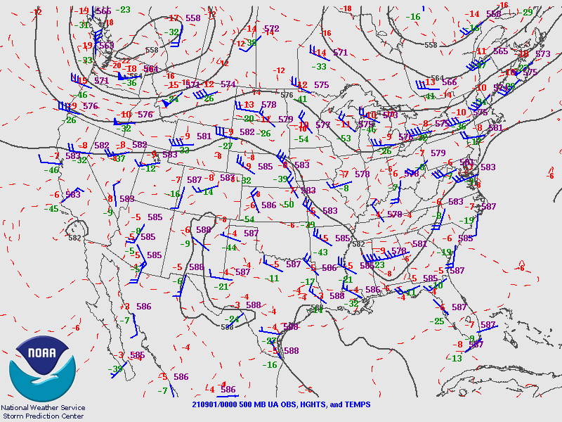
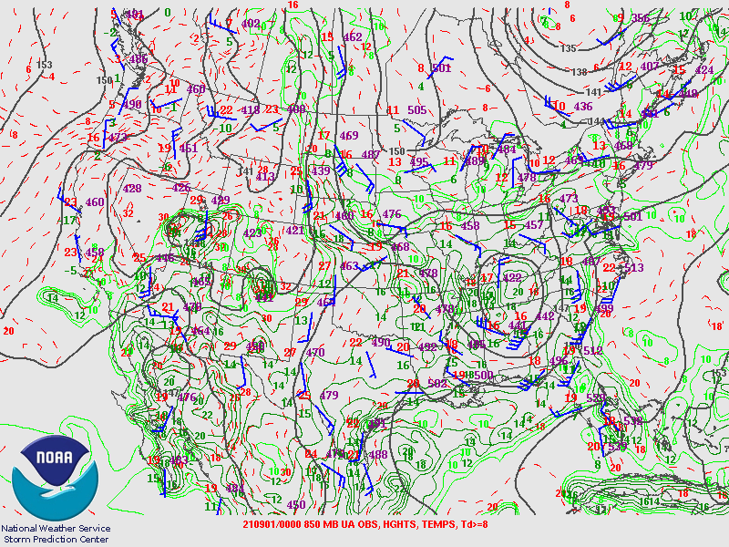
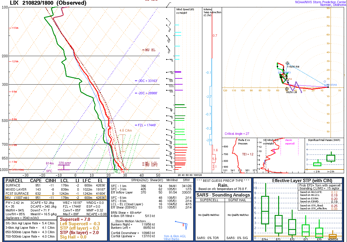
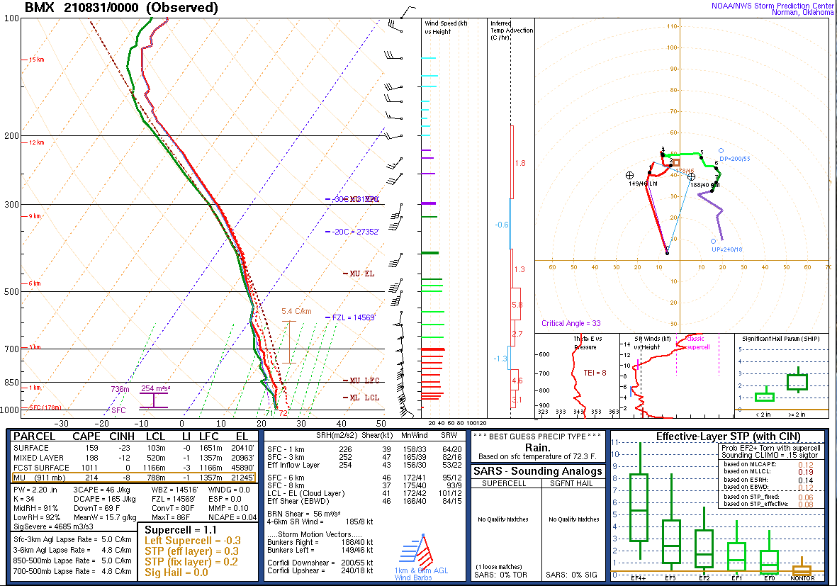
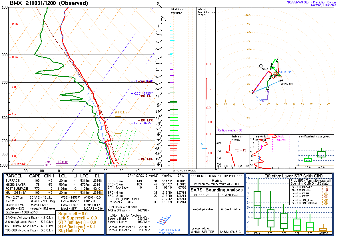
The remnants of Tropical Cyclone Ida traveled across portions of the Deep South and across Central Alabama on Monday, August 30th, and into Tuesday, August 31st. Bands of tropical downpours and thunderstorms moved across the area, generally to the east of Ida`s circulation. It was in this general area where instability and low-level wind shear values were sufficient for a few stronger, rotating thunderstorms. Two EF-0 tornadoes were documented in southeast Central Alabama on August 30th. The combination of heavy rain and breezy conditions also downed some trees in several counties. Here is a collection of damage reports and tornado videos received on Twitter.


Rainfall
 

Alabama Rainfall Plot

 
Pike County Tornado
 

Antioch EF-0 Tornado (Pike County)
  August 30, 2021


Event Summary

EF-0
Estimated Maximum Wind:
60 mph
Injuries/Fatalities:
None
Damage Path Length:
3.18 miles
Maximum Path Width:
75 yards
Approximate Start Point/Time:
2 SSW Antioch
31.7266/-85.9109
at 2:02 pm CDT
Approximate End Point/Time:
1 NNW Antioch
31.7675/-85.8906
at 2:09 pm CDT


National Weather Service meteorologists surveyed the damage between Troy and Brundidge in Pike County and determined it was the result of an EF-0 tornado.

The tornado touched down near White Water Creek Rd and traveled northeast while knocking down a few trees and tree limbs. The tornado then moved more northward and crossed US Hwy 231 where a few folks obtained video footage of the tornado. The tornado lifted near Parron Church Rd.


Radar Image
Reflectivity (left) and velocity (right) of the circulation before the tornado crossed Hwy 231.
Images are from KEOX at 2:07 pm CDT.


Macon County Tornado
 

Red Road EF-0 Tornado (Macon County)
  August 30, 2021


Event Summary

EF-0
Estimated Maximum Wind:
75 mph
Injuries/Fatalities:
None
Damage Path Length:
0.48 miles
Maximum Path Width:
75 yards
Approximate Start Point/Time:
5 ESE Lake Tuskegee
32.3979/-85.5981
at 3:45 pm CDT
Approximate End Point/Time:
5 E Lake Tuskegee
32.4033/-85.5932
at 3:46 pm CDT


National Weather Service meteorologists found damage consistent with a brief EF-0 tornado near Red Rd, generally east southeast of Tuskegee, AL. A few trees and tree limbs were blown down, and one residence sustained minor damage to siding and roofing material.


Radar Image
Reflectivity (left) and velocity (right) of the circulation just before the tornado touched down.
Images are from KMXX at 3:44 pm CDT.


Surface Charts
 

Surface Chart
Surface Analysis
Aug 29 at 1 pm

Surface Chart
Surface Analysis
Aug 29 at 7 pm

Surface Chart
Surface Analysis
Aug 30 at 1 am

Surface Chart
Surface Analysis
Aug 30 at 7 am

Surface Chart
Surface Analysis
Aug 30 at 1 pm

Surface Chart
Surface Analysis
Aug 30 at 7 pm

Surface Chart
Surface Analysis
Aug 31 at 1 am

Surface Chart
Surface Analysis
Aug 31 at 7 am

Surface Chart
Surface Analysis
Aug 31 at 1 pm

Surface Chart
Surface Analysis
Aug 31 at 7 pm

   
Upper Air Charts
 

250 mb
250 mb Analysis
Aug 29 at 7 pm

500 mb
500 mb Analysis
Aug 29 at 7 pm

850 mb
850 mb Analysis
Aug 29 at 7 pm

250 mb
250 mb Analysis
Aug 30 at 7 pm

500 mb
500 mb Analysis
Aug 30 at 7 pm

850 mb
850 mb Analysis
Aug 30 at 7 pm

250 mb
250 mb Analysis
Aug 31 at 7 pm

500 mb
500 mb Analysis
Aug 31 at 7 pm

850 mb
850 mb Analysis
Aug 31 at 7 pm

KLIX Sounding
KLIX Sounding
Aug 29 at 1 pm (near landfall)

KBMX Sounding
KBMX Sounding
Aug 30 at 7 pm

KBMX Sounding
KBMX Sounding
Aug 31 at 7 am