A damage survey by National Weather Service meteorologists determined that a brief EF-0 tornado occurred in extreme northern Bibb County. The tornado developed just south of Old Woodstock Road along the northern side of the Colonial Pipeline with light tree damage observed. The tornadic circulation then intensified as it crossed Old Woodstock Road, uprooting several trees. Another batch of uprooted trees was seen toward the northeast, as the tornado moved through a stand of trees. The circulation then quickly weakened roughly 1.5 miles south of the Tuscaloosa County line.
Radar Data
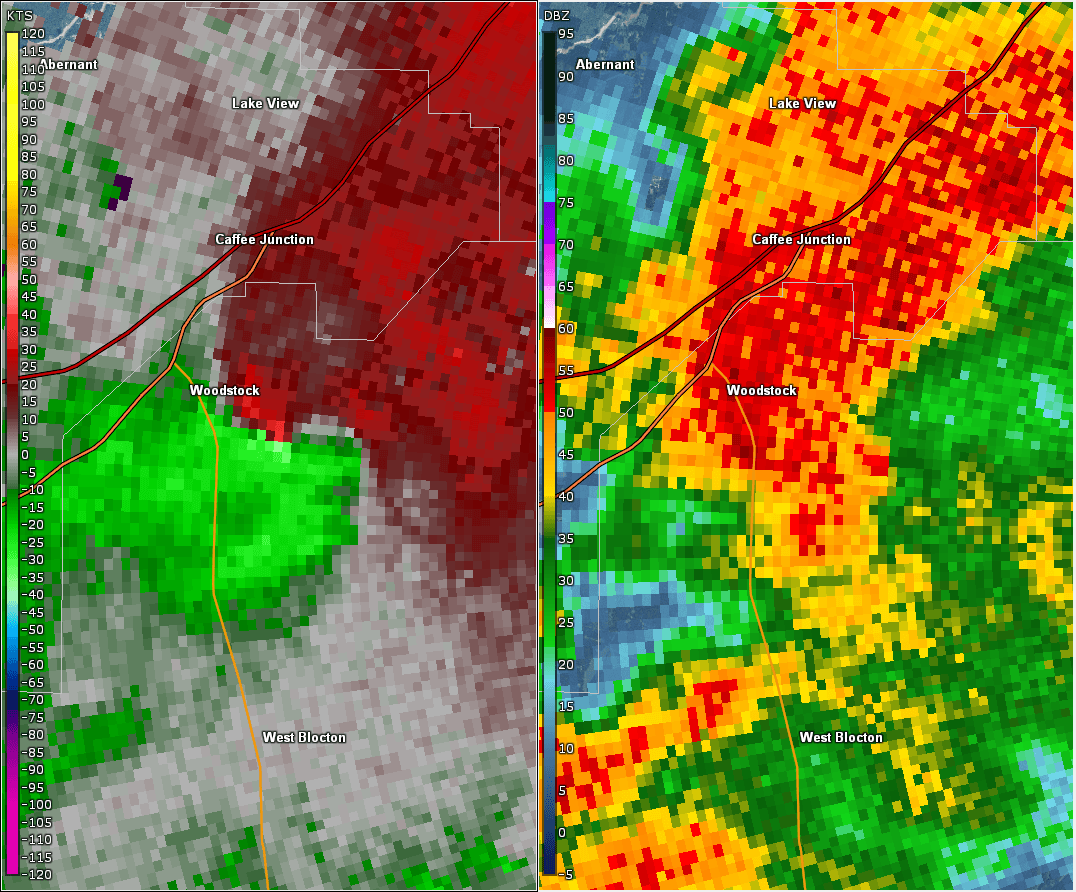
This is an image of the 0.5 degree reflectivity (right) and velocity (left) data from KBMX at 742 PM near when the tornado touched down.