|
Event Summary
A National Weather Service Damage Assessment Team has surveyed the storm damage in Autauga County. It has been determined the damage was the result of a tornado. The tornado has been rated an EF-1 on the Enhanced Fujita Scale. Damage estimates were consistent with winds around 90 mph.
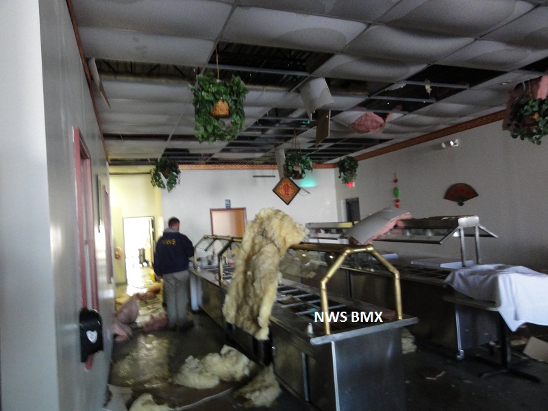
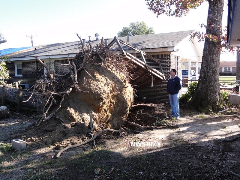
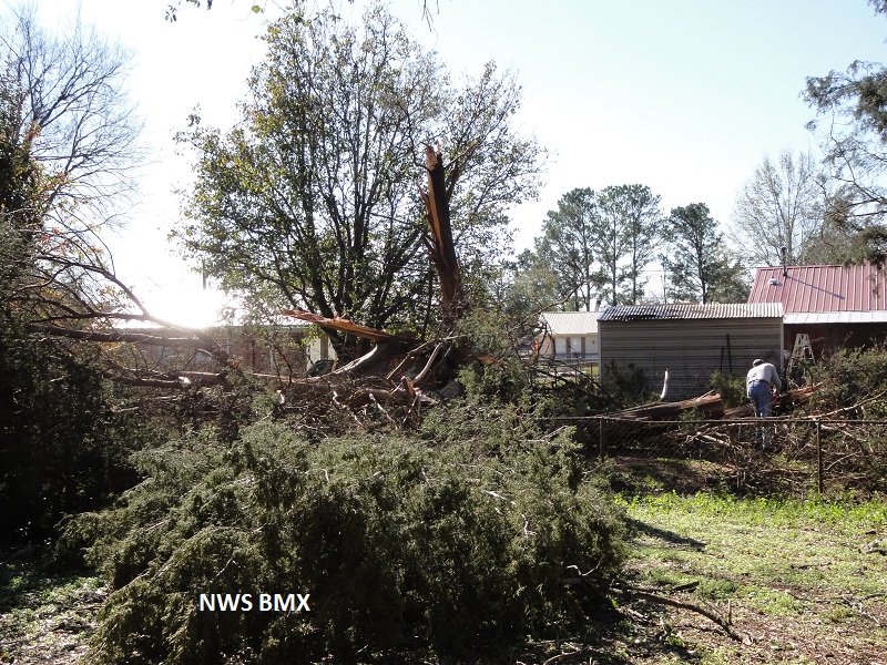
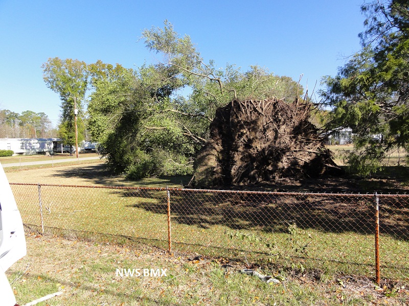
The tornado touched down near the Selma Highway and County Road 29, just south of the Autauga County Airport. A few trees were snapped off at this location. The tornado traveled northeastward and crossed Highway 82 near Steward Street. This was the site of the most significant damage. Numerous trees were uprooted, several homes sustained minor roof damage and a few metal buildings were damaged. The tornado then crossed US Highway 31 near Prattville Middle School where an awning was damaged and tossed at least 50 yards. Roof coverings and awnings were also damaged on several homes and businesses along Sheila Blvd. The tornado finally lifted a few tenths of a mile west of the Elmore County line in the Premiere Place Shopping Center. Here a portable, free standing security tower was damaged. The tornado damage path was 5.8 miles long and was 150 yards wide at its widest point.
This damage path was very similar to the EF-3 tornado back in 2008.
|