|
Event Summary
|
|
EF-0
|
|
Estimated Maximum Wind:
|
80 mph
|
|
Injuries/Fatalities:
|
None |
|
Damage Path Length:
|
5.38 miles
|
|
Maximum Path Width:
|
300 yards
|
|
Approximate Start Point/Time:
|
5 WNW Morgan Springs
32.7695/-87.4927
at 903 pm
|
|
Approximate End Point/Time:
|
4 SSE Wateroak
32.8162/-87.4194
at 912 pm
|
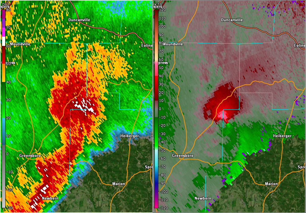
NWS Meteorologists surveyed damage in far eastern Hale County and extreme northwestern Perry County and determined it was the result of a tornado.
The tornado began along County Road 32 in eastern Hale County where a few pine trees were uprooted. The tornado continued northeastward into Perry County along Little Brush Creek and eventually crossed County Road 29, dissipating a short distance to the northeast. At least one hundred trees were snapped or uprooted along the path, and maximum winds were estimated at 80 mph.
|