|

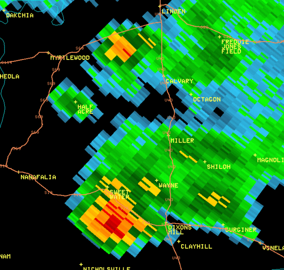
This is an image of the 0.5 degree reflectivity data from KBMX at 316 pm. In this area, the radar coverage does not allow for radar data below
5000 ft. What you are looking at here is the mesocyclone of the storm. Click to enlarge.
|

This is an image of the 0.5 degree velocity (SRM) data from KBMX at 316 pm. In this area, the radar coverage does not allow for radar data below
5000 ft. What you are looking at here is the mesocyclone of the storm. Click to enlarge
|