Denver/Boulder, CO
Weather Forecast Office
Overview
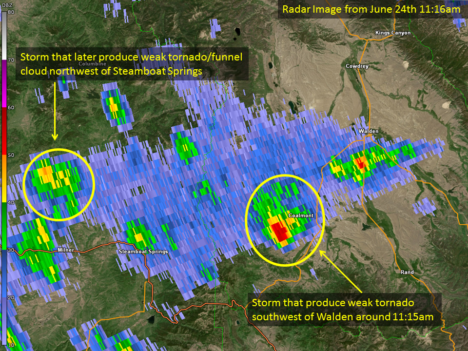
A tornado briefly touched down in Jackson County Colorado, 19 miles southwest of Walden, around 11:15 am on Sunday June 24. This is the second documented tornado in Jackson County since 1950. The first reported tornado was May 10 1974.Tornadoes:
|
Tornado - LOCATION
Track Map
|
||||||||||||||||
The Enhanced Fujita (EF) Scale classifies tornadoes into the following categories:
| EF0 Weak 65-85 mph |
EF1 Moderate 86-110 mph |
EF2 Significant 111-135 mph |
EF3 Severe 136-165 mph |
EF4 Extreme 166-200 mph |
EF5 Catastrophic 200+ mph |
 |
|||||
Photos & Video:
Header
 |
 |
||
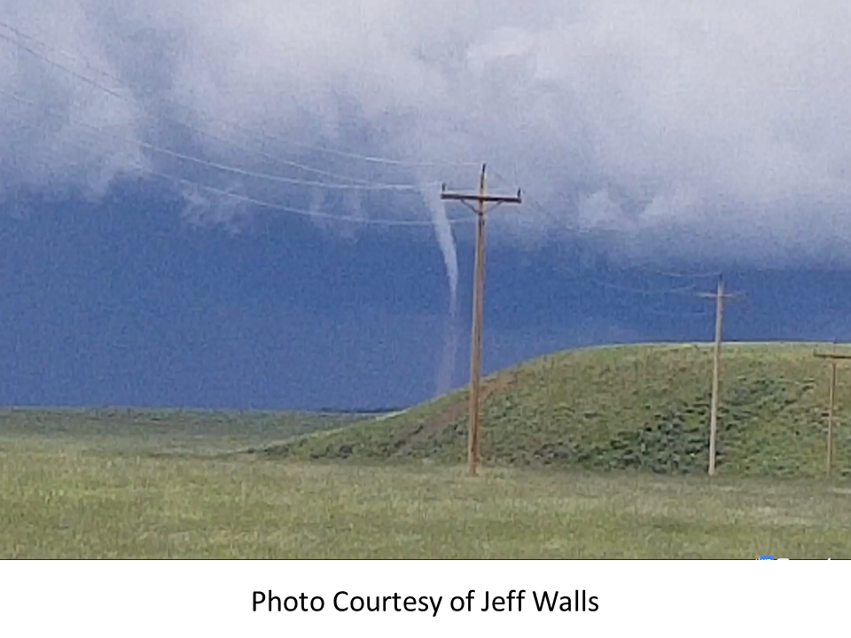
| Jackson County Tornado (Courtesy of Jeff Walls) |
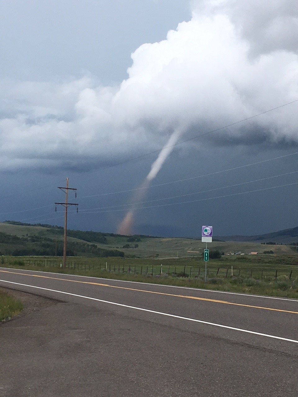
Jackson County Tornado (Courtesy of Dave Martinez) |
 |
Media use of NWS Web News Stories is encouraged! Please acknowledge the NWS as the source of any news information accessed from this site. |
|
US Dept of Commerce
National Oceanic and Atmospheric Administration
National Weather Service
Denver/Boulder, CO
325 Broadway
Boulder, CO 80305-3328
303-494-3210 for a recording call 303-494-4221
Comments? Questions? Please Contact Us.