
Dangerous heat will expand from the Gulf Coast into the Southern Plains and Desert Southwest through week's end. Additional extreme heat impacting the Pacific Northwest will shift to the northern Plains by the weekend. Tropical Storm Bertha is expected to continue to impact portions of the northern Gulf Coast from the western Florida Panhandle to southeastern Louisiana through tonight. Read More >
Denver/Boulder, CO
Weather Forecast Office
Overview
|
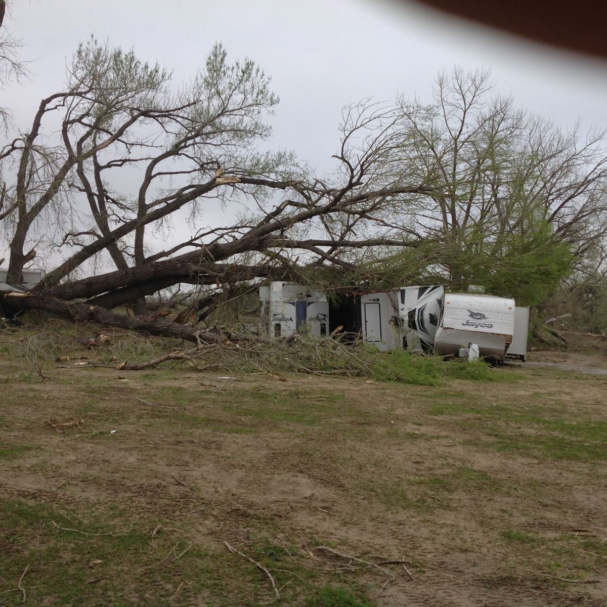
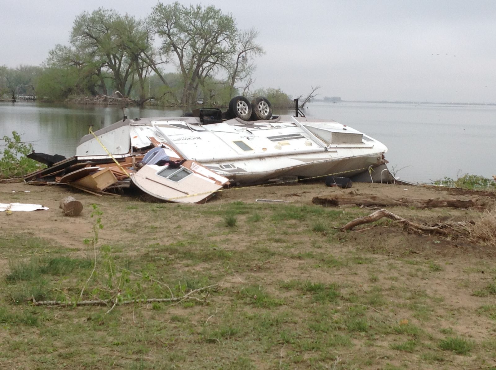
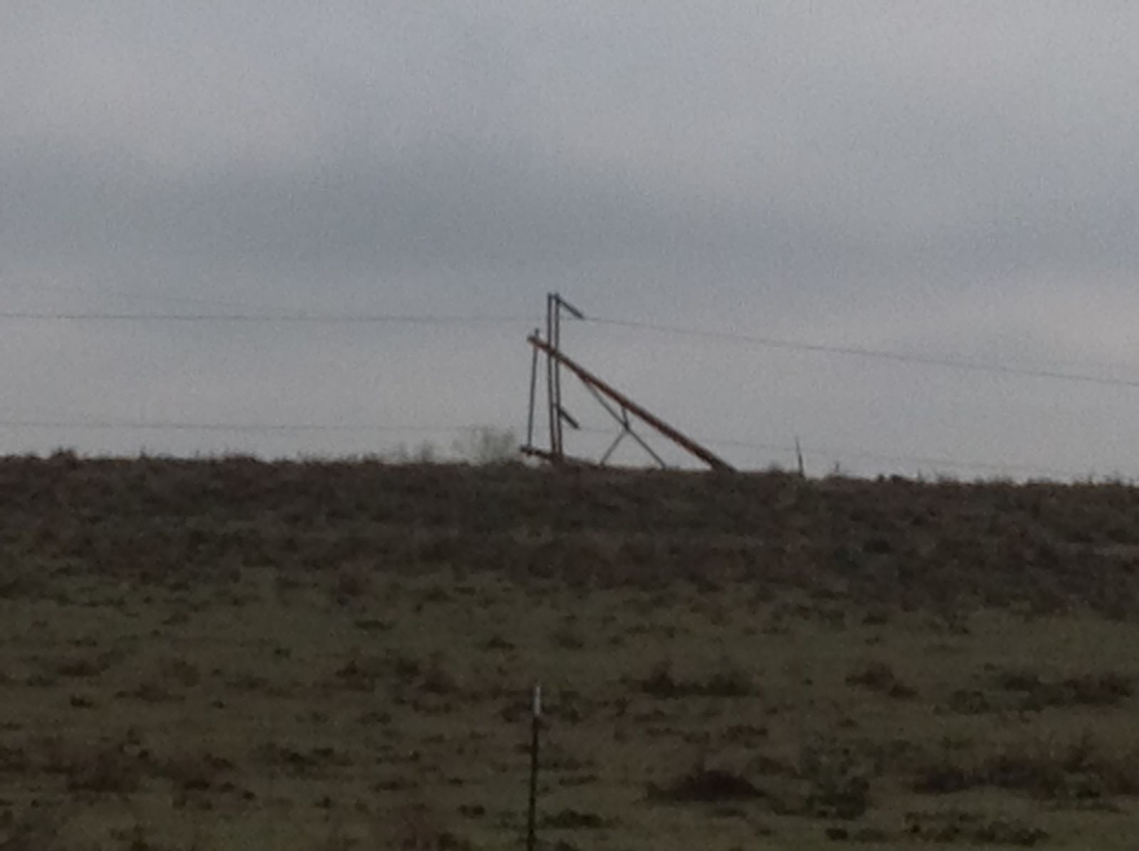
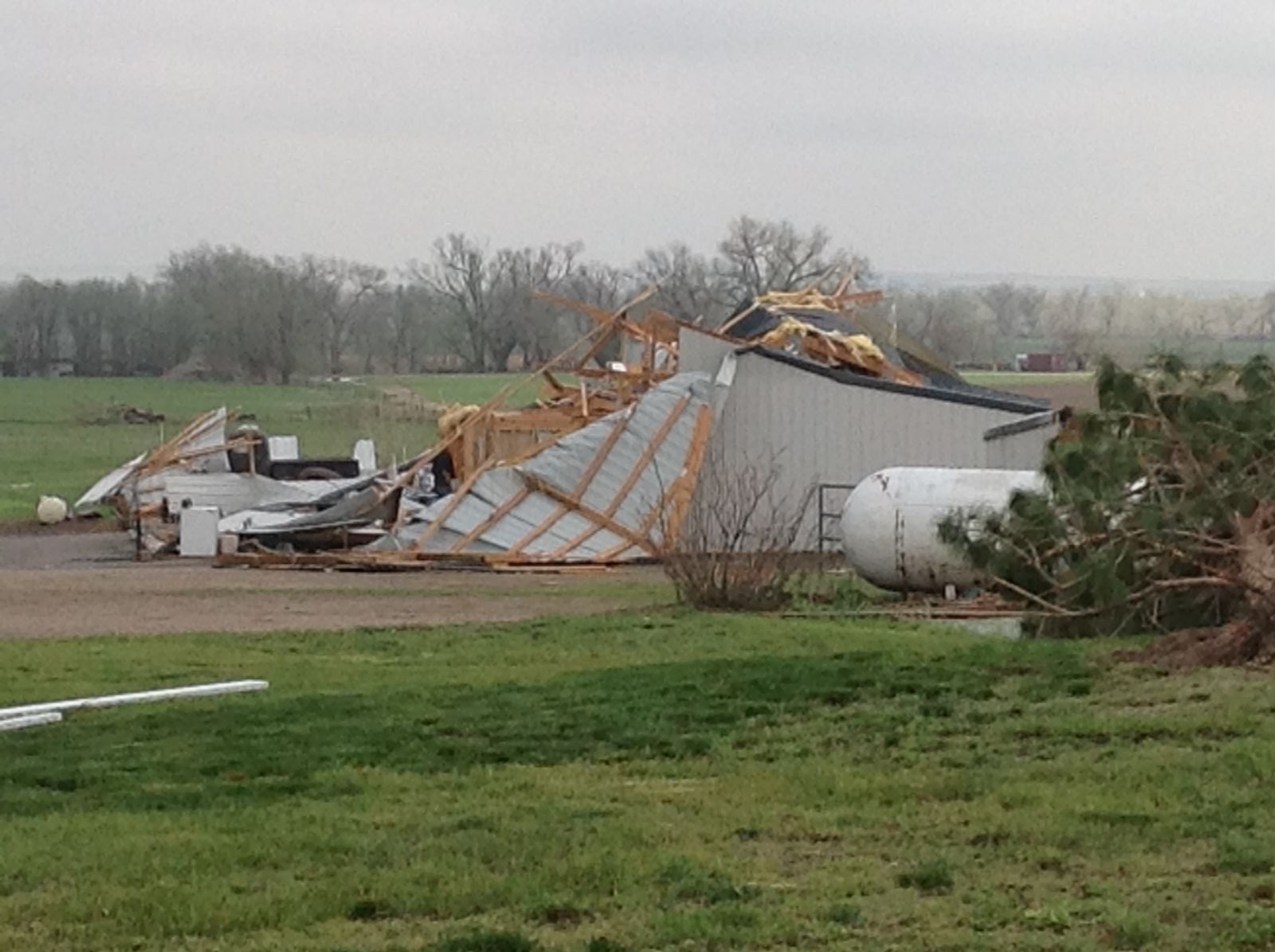
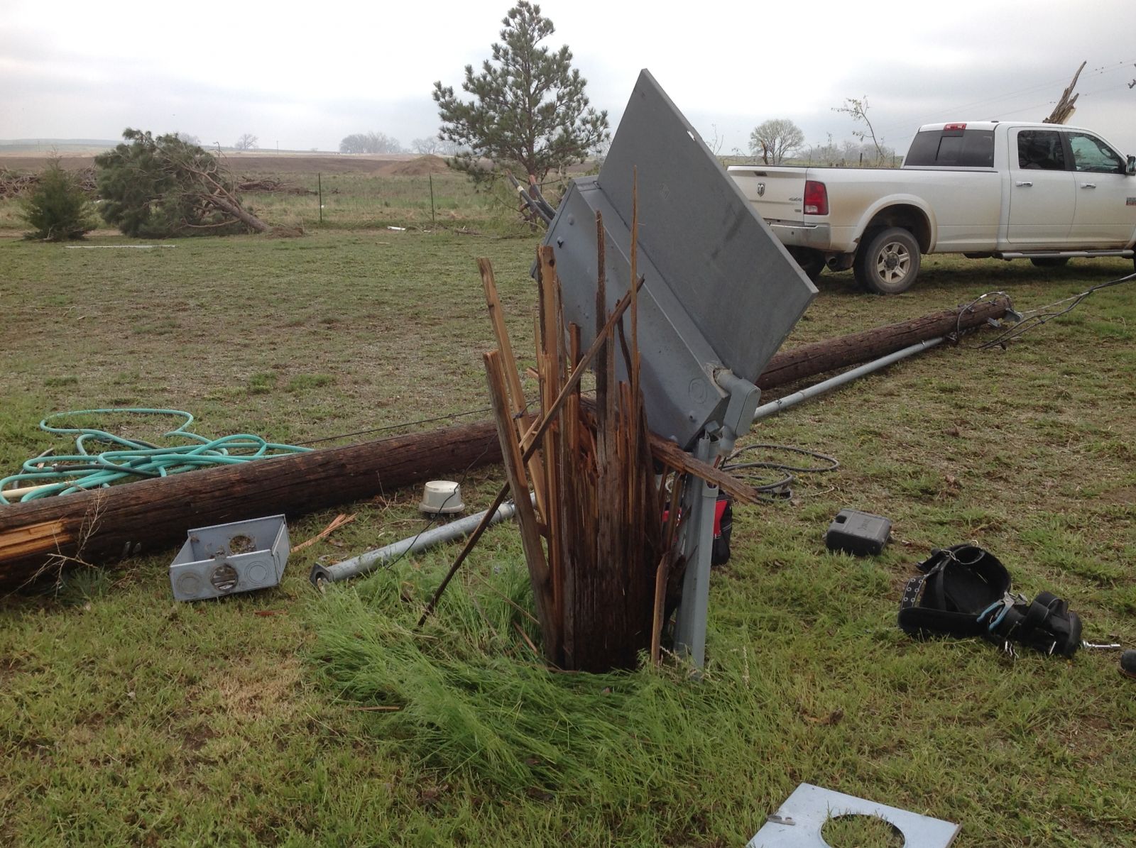
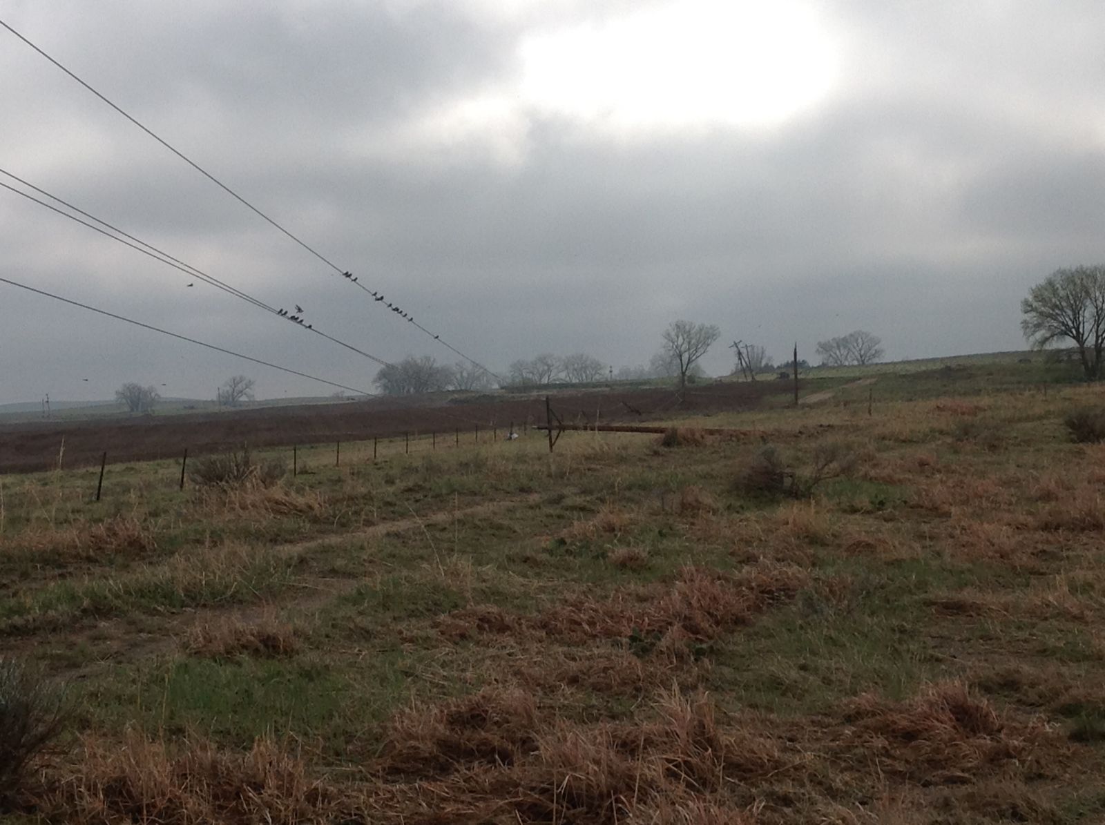
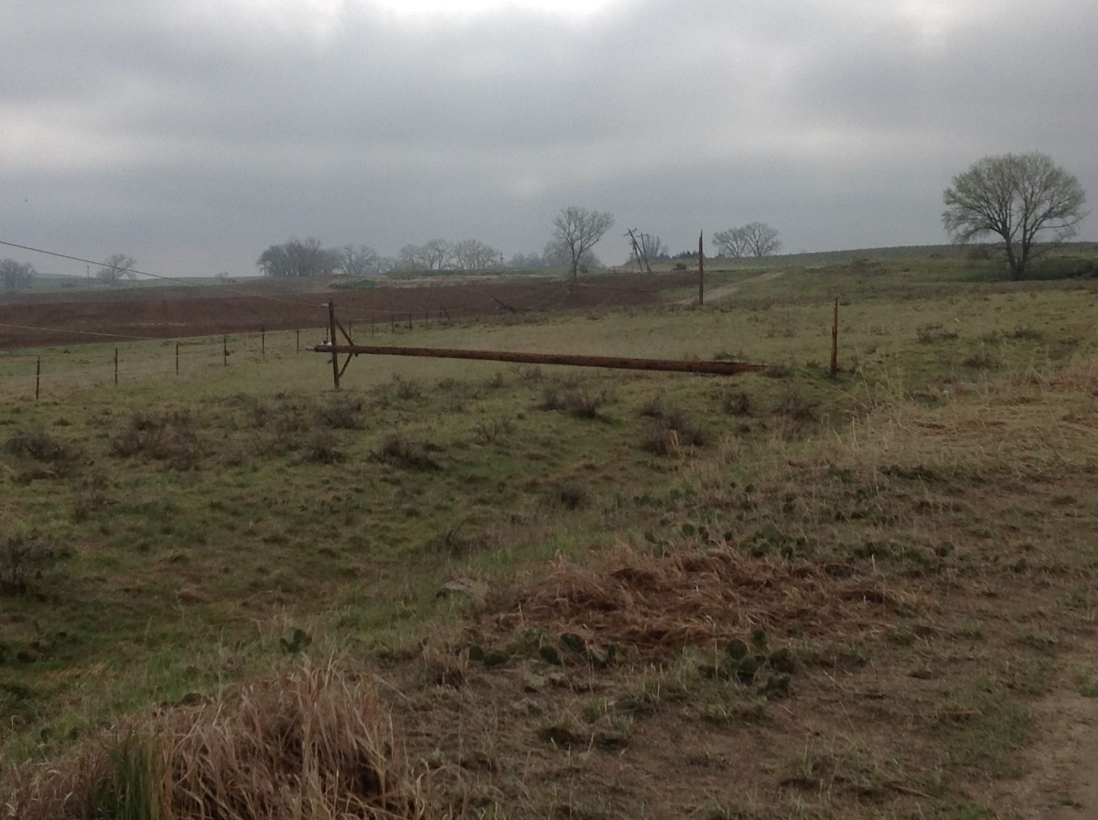
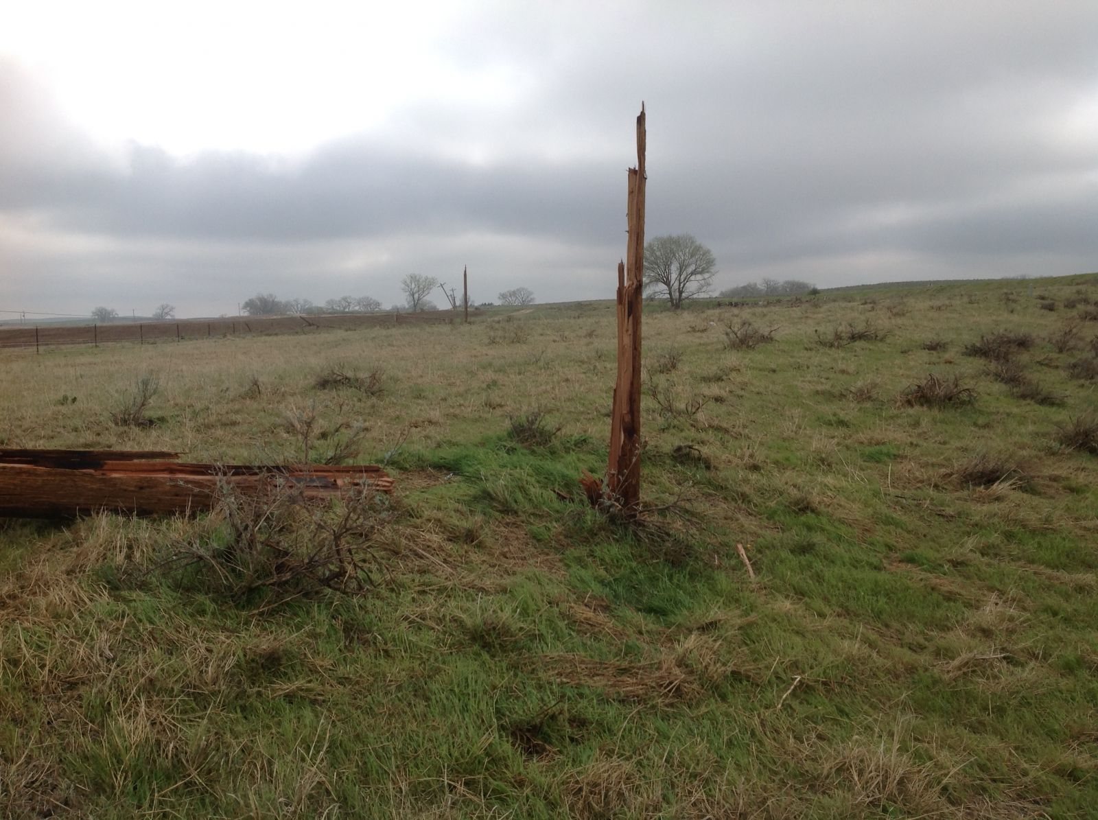
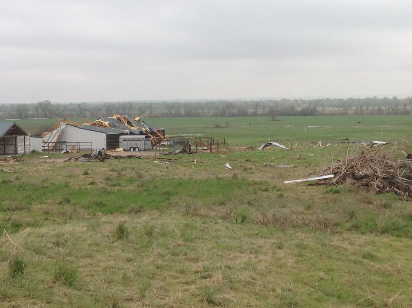
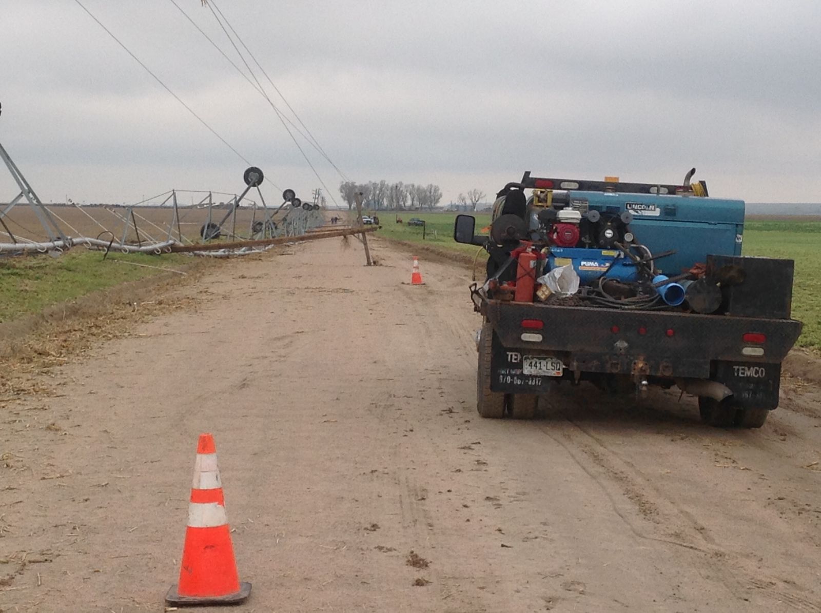
4 Tornadoes occurred on May 7th, 2016 with one over southern Weld county and 3 across western Morgan county. The most significant tornado traveled from just south of I-76 over Weld county across Empire Reservoir and then to the west of Orchard. Several campers were destroyed at Empire Reservoir along with two minor injuries. There was a few areas of EF2 damage but most was in the EF1 category. The path length was just over 8 miles with a maximum width of 1620 yards (3/4 Mile). |
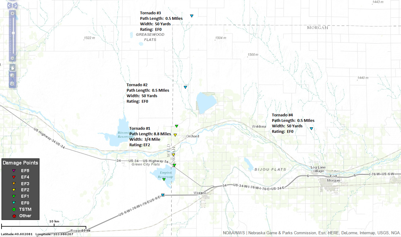 Location of May 7th Tornadoes |
Tornadoes:
The Enhanced Fujita (EF) Scale classifies tornadoes into the following categories:
| EF0 Weak 65-85 mph |
EF1 Moderate 86-110 mph |
EF2 Significant 111-135 mph |
EF3 Severe 136-165 mph |
EF4 Extreme 166-200 mph |
EF5 Catastrophic 200+ mph |
 |
|||||
Photos & Video:
Radar:
.png)
 |
Media use of NWS Web News Stories is encouraged! Please acknowledge the NWS as the source of any news information accessed from this site. |
|
US Dept of Commerce
National Oceanic and Atmospheric Administration
National Weather Service
Denver/Boulder, CO
325 Broadway
Boulder, CO 80305-3328
303-494-3210 for a recording call 303-494-4221
Comments? Questions? Please Contact Us.

