Denver/Boulder, CO
Weather Forecast Office
Overview
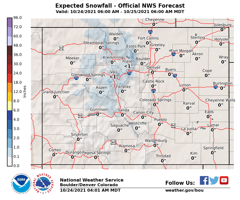
Temperatures will remain cold today with snow diminishing this morning. Roads in the mountains, foothills and over the Palmer Divide will have icy and slushy spots, especially over bridges and overpasses.
| Click on any area for more detailed information on each Warning, Watch or Advisory. |
(Click on any Point on the Map for the latest Forecast)
Expected Snowfall
High End Amounts

Low End Amounts

Ice Accumulations

Expected Wind Gusts

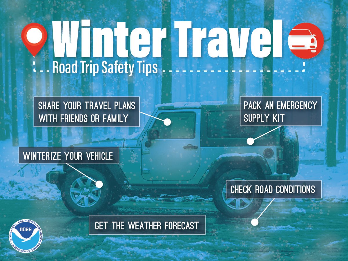
Travel Conditions
Safety Tips
US Dept of Commerce
National Oceanic and Atmospheric Administration
National Weather Service
Denver/Boulder, CO
325 Broadway
Boulder, CO 80305-3328
303-494-3210 for a recording call 303-494-4221
Comments? Questions? Please Contact Us.

