National Weather Service United States Department of Commerce

Snow in the Rockies; Showers and Thunderstorms Along the Gulf Coast; Potential Winter Storm for Northern Mid-Atlantic and Interior New England

A winter-like pattern will continue over much of the Lower 48 over the next few days, with snow stretching from the Rockies today into the Middle Mississippi Valley on Monday. Showers and thunderstorms will develop along the Gulf Coast and Southeast on Monday. As the storm moves northward late Monday into Tuesday, winter weather is possible from the Central Appalachians to Interior New England. Read More >


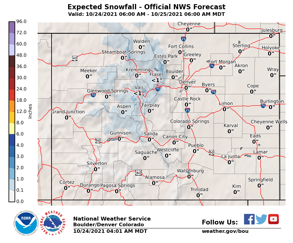
Probabilistic Snowfall Forecast for Indicated Valid Period


(Click or Tap for Larger Images)


Discussion | Hazardous Outlook | Watch/Warning/Adv | Local Storm Reports

Current Radar and Winter Products - Click Thumbnails To Enlarge
Northern Rockies Radar
Denver/Boulder Radar
Max Wind Fcst
CAIC Fcst
Satellite
Rain Fcst


Latest Forecasts Observations/Snowfall Discussions
Snow and Snowpack Analysis Safety/Preparedness Measuring Snowfall


Below you can find the national travel outlook for the next 3 days, as well as supplies and resources needed if traveling this winter.