NWS Office of Dissemination
The National Weather Service (NWS) provides weather, hydrologic, and climate, observations, forecasts, and warnings for the United States, its territories, adjacent waters and ocean areas, for the protection of life and property and the enhancement of the national economy. Our mission is to provide timely, efficient, and reliable weather, water, and climate information to improve public safety for a Weather-Ready Nation.
The Office of Dissemination, specifically the Dissemination Systems Branch (DSB), conceives, designs, implements, and manages telecommunications systems required to distribute meteorological and hydrologic data, reports, information, and weather warnings to the public, public safety agencies, and the mass news media through governmental and public telecommunications systems.
Dissemination Systems
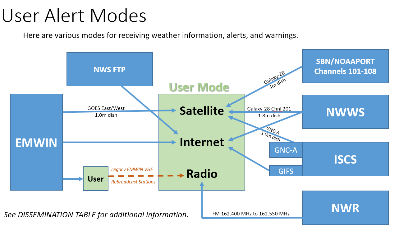
NOAA Weather Radio All Hazards (NWR) - seven (7) discrete FM frequencies for broadcasting local weather, alerts, and hazard warnings. Some receivers can connect to external alerting devices.
NOAA Weather Wire Service (NWWS) - fastest method of receiving text weather information, alerts and warnings over either the Internet or a 1.8m C-Band satellite dish. For highest product availability, use both.
Emergency Managers Weather Information Network (EMWIN) - NWS text, satellite imagery and graphic products over the Internet and via high data rate over the Geostationary Operational Environmental Satellite (GOES) network using 1.0m C-band satellite dish.
International Services and Communication Systems (ISCS) - a collective group of message dissemination systems used to provide weather, water and climate information to segments of the World Meteorological Organization (WMO) International community; includes
- GeoNetCast - Americas (GNC-A) - provide weather and water warnings and information in various formats via C-Band broadcast.
- GTS Internet File Service (GIFS) - alternate method of receiving GNC-A weather and water information over the public Internet.
- EMWIN is included here because it also services the international community
| NWR | View Outages | ||
|---|---|---|---|
This information was current on: |
|||
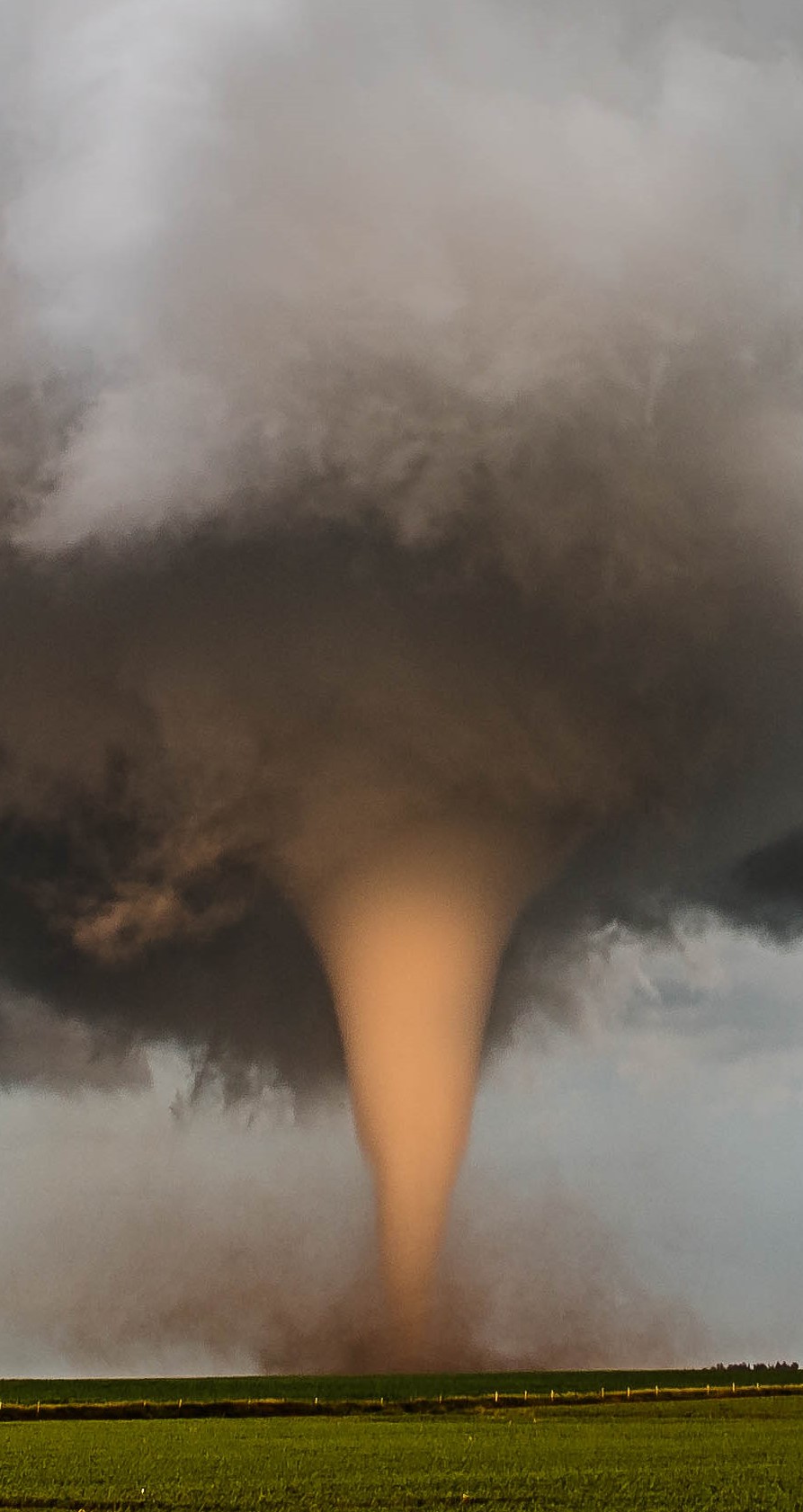
- Welcome to the Dissemination Systems Branch landing page. From here you can access six tabs down the left edge; Dissemination Home, FAQs, Coverage Comparison, System Comparison, Network Diagram, Dissemination Table, and Acronyms. Picture below is of a tornado funnel cloud touching the surface and picking up dust.
- Down the center of the web page is NWS Office of Dissemination information ending in a link to Weather Ready Nation. And a second paragraph about the Dissemination Systems Branch (DSB) . Following this paragraph are Dissemination Systems. Here are descriptions of the four dissemination systems; NOAA Weather Radio All Hazards, NOAA Weather Wire Service, Emergency Managers Weather Information Network, and the International Services and Communication Systems with two sub-system bullets; G T S Internet File Service, and GeoNetCast- Americas. Each of the description titles for systems and sub-systems are hyper links to the respective URL. Below the last sub-system listed is a table indicating the NOAA Weather Radio transmitter status as of .
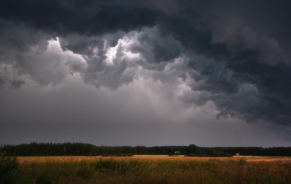
- The right edge of the web page has a general picture depicting a weather feature; a long straight road with dark thunder clouds above and a tornado funnel cloud touching the horizon of the road. Below is a yellow box with various updates; expansion of partial county alerting, links to public information statements, the partial county expansion page, a link to ISCS – 0227 new Micronesia products from the Weather Forecast Office located in Guam. Below this is a table indicating the operational status of the dissemination systems. Finally, a note about the last NWWS transition completed on June 16, 2022.
| NOAA Weather Radio Station Status |
|---|
This information was current on: