Snow and Blowing/Drifting Snow To Impact Travel Today
|
What to Expect: A winter storm will move across the Great Lakes region today. The storm will bring periods of snow, along with blowing and drifting snow.
Periods of snow will continue this morning, then end during the afternoon hours. Additional snowfall totals between 1 and 4 inches are expected today, highest across far northeast Wisconsin.
Gusty winds southeast winds are expected this evening into early Saturday morning. The combination of the high lake levels and high waves may result in lakeshore flooding along the Lake Michigan shoreline. Gusty northwest winds are then expected Saturday afternoon. The strong winds may create areas blowing and drifting snow, reducing visibilities for motorists. The strong winds may also create ice shoves tonight through Saturday night.
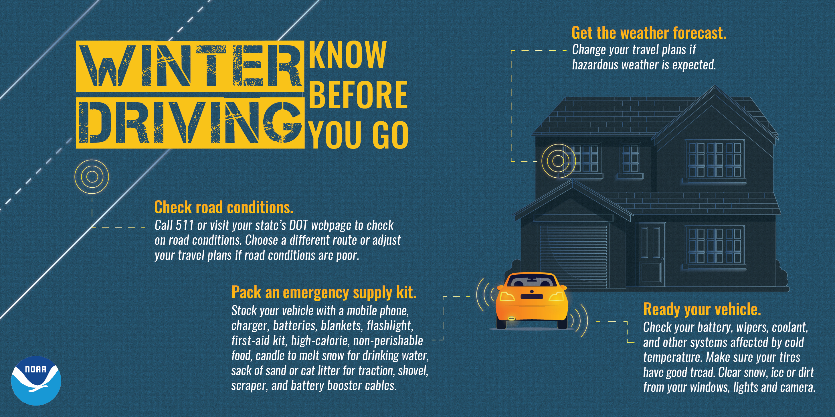
Roads will become snow covered and slippery later this afternoon and evening. Monitor road conditions by visiting the Wisconsin DOT site: http://511wi.gov
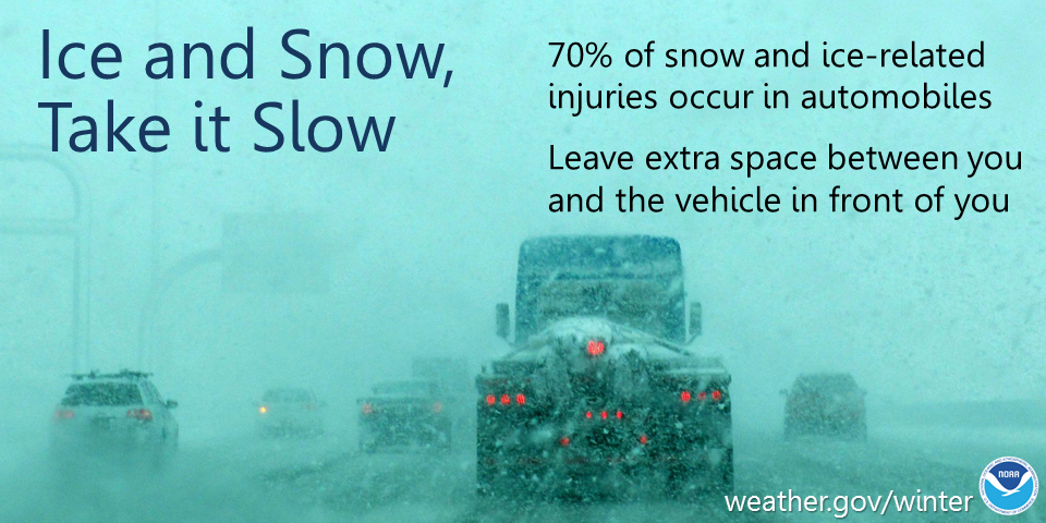
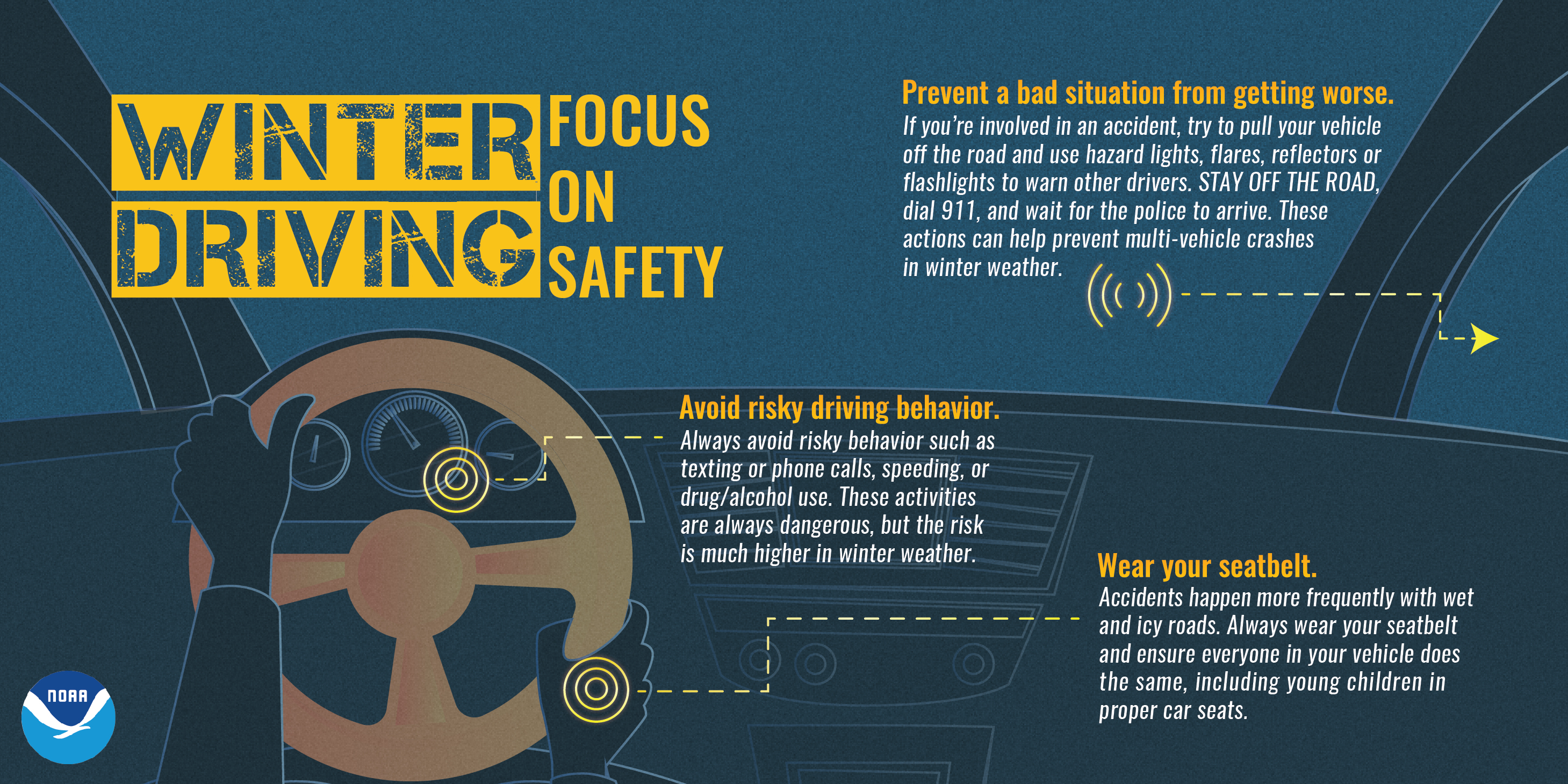
Actions: Remember to slow down, keep extra distance between vehicles, and allow extra time to reach your destination. If you live near a flood prone area, be alert for rising water.
See tabs below for more information. Click on any image for a larger view. |
Snowfall Forecasts
|
Latest Snowfall Forecast (please note valid times on graphic) |
https://www.weather.gov/grb/winter
|
Radar
 |
|
Snow / Road Reports
|
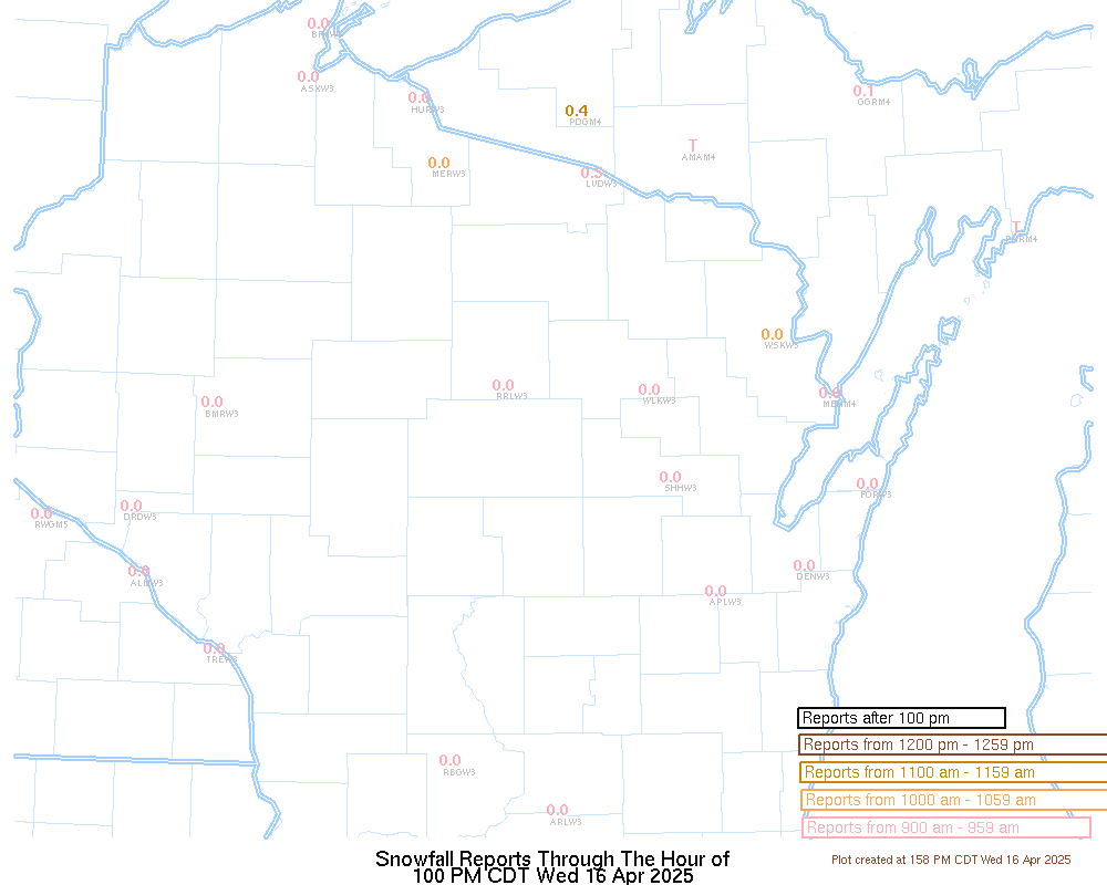
Latest Snowfall Reports |
For the latest Wisconsin road conditions, visit: |
|
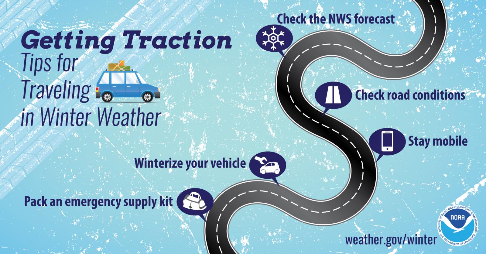
Weather Safety Information
| Winter Safety Info | ||
 |
 |
.png) |
|
|
|
|
 |
Media use of NWS Web News Stories is encouraged! Please acknowledge the NWS as the source of any news information accessed from this site. |
|


.jpg)