Widespread Accumulating Snow Expected to Continue Through Sunday
|
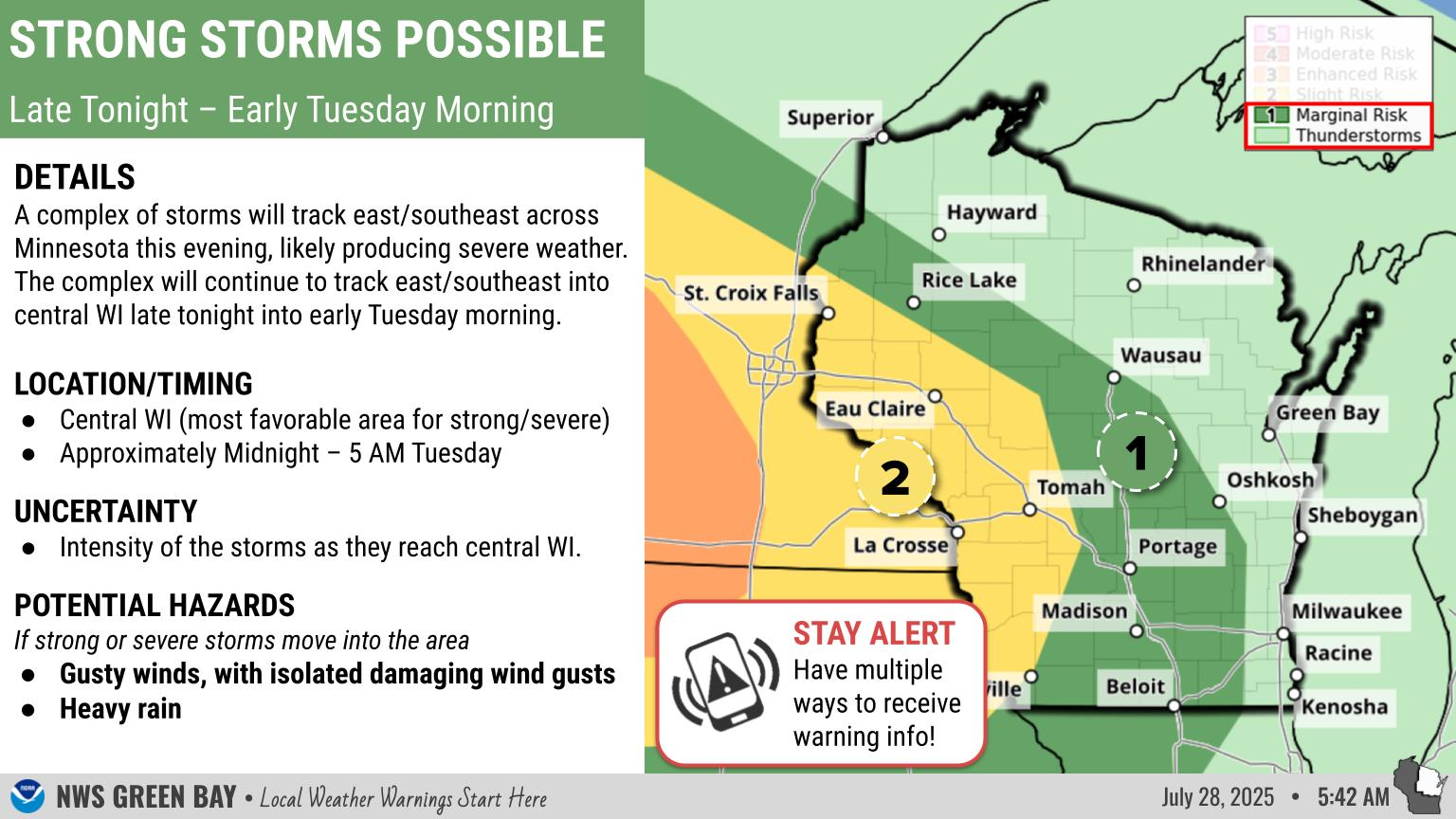
What: The wintry mix and light to moderate snow will continue to bring roughly 4 to 6 inches over central, north-central, and far northeast WI, with 2 to 4 inches from the Fox Valley to the Lake Shore by late Sunday morning. Snow may be heavy at times overnight. The precipitation will end from south to north Sunday morning into Sunday afternoon. Freezing drizzle is possible across east-central WI before the precipitation comes to an end. Snow may linger across far north-central WI through mid-afternoon Sunday.
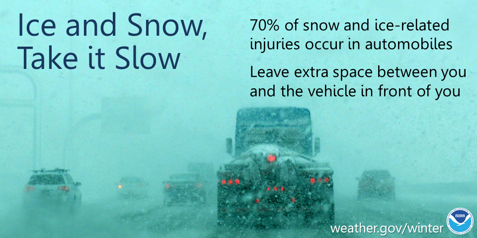
Impacts: Hazardous travel expected. Snow covered and slippery roads, bridges, and sidewalks are expected, especially secondary and untreated roads. Actions: Remember to slow down, keep extra distance between vehicles, and allow extra time to reach your destination.
See tabs below for more information. Click on any image for a larger view. |
Snowfall Forecasts
|
Latest Snowfall Forecast |
|
Radar
 |
|
Snow / Road Reports
|
Latest Snowfall Reports |
For the latest Wisconsin road conditions, visit: |
|
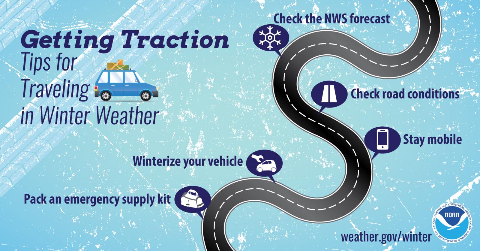
Weather Safety Information
| Winter Safety Info | ||
 |
 |
.png) |
|
|
|
|
 |
Media use of NWS Web News Stories is encouraged! Please acknowledge the NWS as the source of any news information accessed from this site. |
|