Overview
|
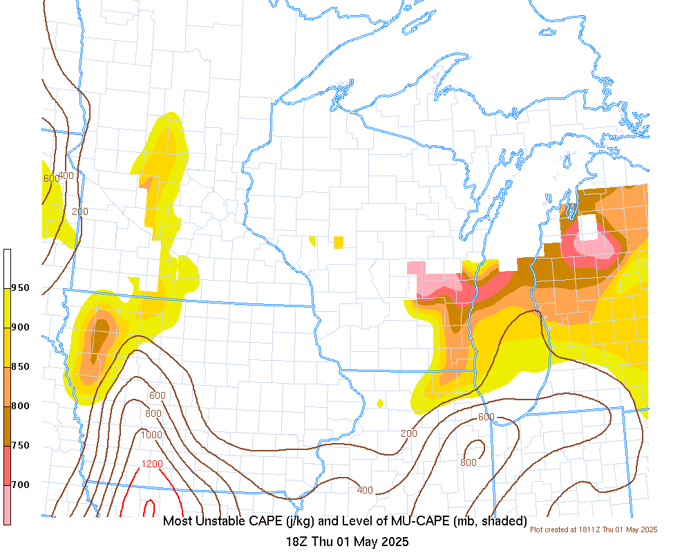
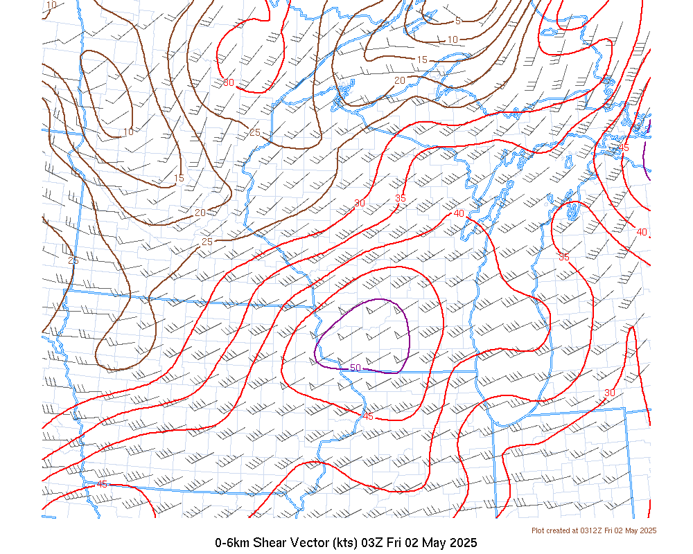
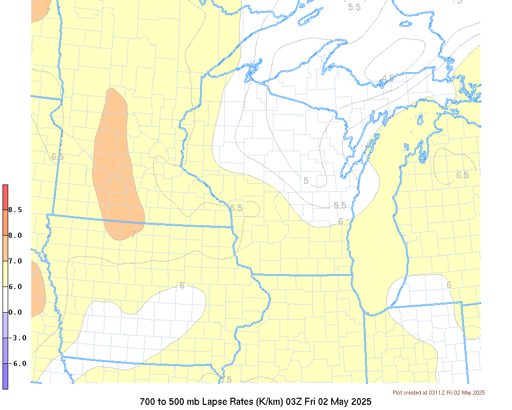
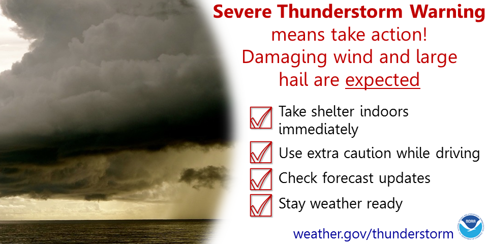
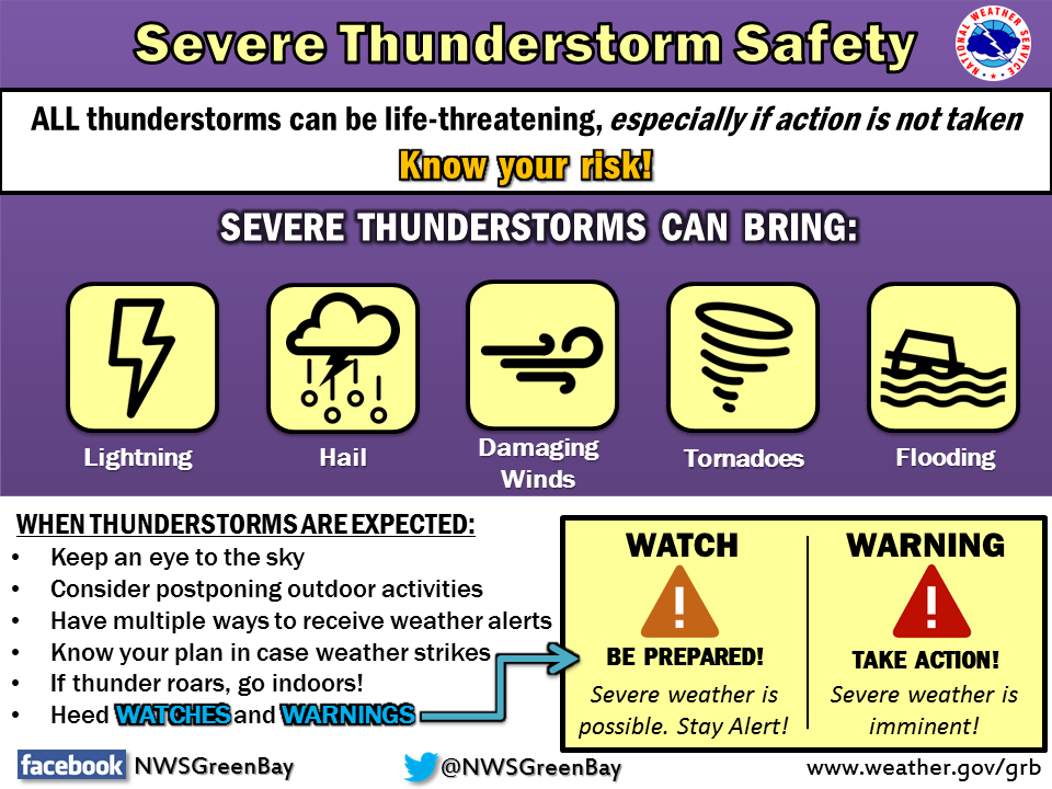
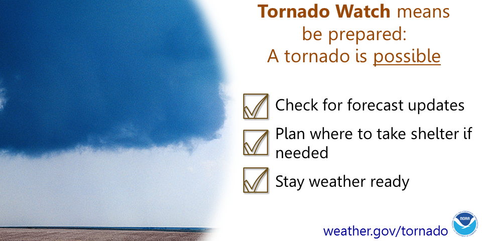
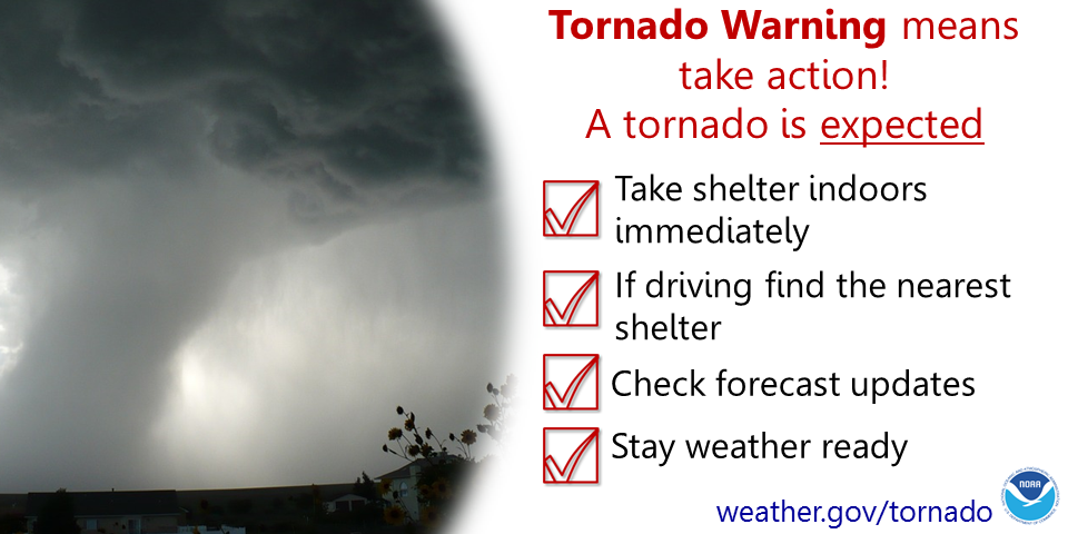
Portions of central and east-central Wisconsin are under an enhanced (3 out of 5) risk for severe thunderstorms this afternoon and evening, with a slight risk (2 out of 5) of severe storms just to the north. A thunderstorm complex is expected to develop or move across Minnesota, and then move into the area between 4 PM and 8 PM. Damaging winds, large hail, and isolated tornadoes are all possible with these storms. Torrential rainfall and localized flash flooding will also be possible. Prepare by checking for forecast updates periodically, making sure you have a way to receive warning information, and knowing where your nearest safe place is located. If you are planning outdoor activities, have alternate plans in place, including knowing where the nearest sturdy shelter is, in the event severe weather threatens your area. And remember, when thunder roars, go indoors!
Please click on the tabs below for more information. Click on any image for a larger view. |
|
Latest Watches & Warnings
|
|
 Current Watches and Advisories Current Watches and Advisories |
|
 National Hazards Map National Hazards Map |
 Current Convective Watches Current Convective Watches |
Severe Weather Outlooks
 Day 1 (discussion) Day 1 (discussion) |
 Day 1 Tornado Probabilities Day 1 Tornado Probabilities |
 Day 1 Hail Probabilities Day 1 Hail Probabilities |
 Day 1 Wind Probabilities Day 1 Wind Probabilities |
 Day 2 (discussion) Day 2 (discussion) |
 Day 2 Tornado Probabilities Day 2 Tornado Probabilities |
 Day 2 Hail Probabilities |
 Day 2 Wind Probabilities |
 Mesoscale Discussions (more info) Mesoscale Discussions (more info) |
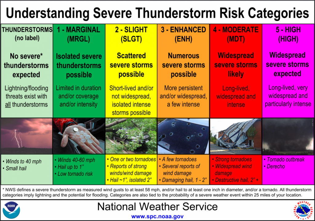 Severe Storm Risk Categories Severe Storm Risk Categories |
|
Radar / Satellite
Click on image for more radar options. Be sure to "Reload/Refresh" to ensure you are looking at the most recent image.
|
Green Bay, WI |
La Crosse, WI Milwaukee, WI |
|
|
Duluth, MN |
Marquette, MI |
Minneapolis, MN |
Regional Radar Mosaics
 |
 |
Satellite Imagery
 |
|
| Visible Loop |
|
|
|
  Geo Color Geo Color |
|
Severe Weather Reports
|
Today's Storm Reports |
Yesterday's Storm Reports |
Nowcast Tools
|
|
|
|
|
|
|
Other Forecast Tools:
|
 |
Media use of NWS Web News Stories is encouraged! Please acknowledge the NWS as the source of any news information accessed from this site. |
|


 "
"