National Weather Service United States Department of Commerce

Prolonged, Intense Heat Wave; Excessive Rainfall in the Southern Rockies; Severe Weather in the Central US

Extremely dangerous heat will persist from the Midwest to the East Coast into late this week. Monsoonal moisture may produce excessive rain and considerable flash flooding and debris flows, especially near recent burn scar areas in New Mexico and west Texas. Severe storms are possible from the southern/central Plains into the Great Lakes and Northeast, and the northern/central Plains today. Read More >

Severe Weather Monitor
Note: Refresh or reload page to update images and data.
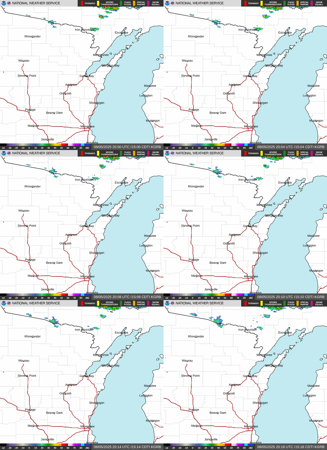
Local radar loop

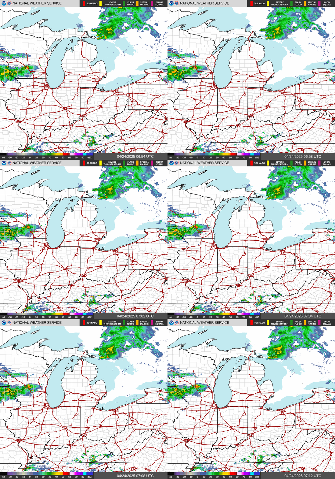
Great Lakes radar loop

NWS Green Bay Radar
Click for more options
Great Lakes Radar Mosaic
Click for more options


Northeast Wisconsin watch/warning/advisories

Latest WI Weather Alerts


Short-Term
Forecast


Special Weather Statement


Storm Reports


Mesoanalysis Page


Additional
Severe Weather Info and Maps

U.S. Watch/Warning/Advisory page
NE Wisconsin Watch/Warning/Advisories
Click for bigger view
Weather Info
Click links to view
 U.S. Watch/Warning/Advisories
Click for bigger view


Hazardous Weather Outlook
Note:  Product updated daily by 6 AM and as needed during the day.

019
FLUS43 KGRB 241517
HWOGRB

Hazardous Weather Outlook
National Weather Service Green Bay WI
1017 AM CDT Tue Jun 24 2025

WIZ005-010>013-018>022-030-031-035>040-045-048>050-073-074-251530-
Vilas-Oneida-Forest-Florence-Northern Marinette County-Lincoln-
Langlade-Menominee-Northern Oconto County-Door-Marathon-Shawano-
Wood-Portage-Waupaca-Outagamie-Brown-Kewaunee-Waushara-Winnebago-
Calumet-Manitowoc-Southern Marinette County-
Southern Oconto County-
1017 AM CDT Tue Jun 24 2025

This Hazardous Weather Outlook is for north-central and northeast
Wisconsin.

.DAY ONE...This Afternoon and Tonight

A few thunderstorms with locally heavy rain and minor flooding
are possible this afternoon, mainly south of Highway 29.

.DAYS TWO THROUGH SEVEN...Wednesday through Monday

Periods of thunderstorms are possible Wednesday into Friday
morning. At this time, the potential for severe weather is low.
There is potential for heavy rainfall and minor flooding
Wednesday and Thursday.

.SPOTTER INFORMATION STATEMENT...

Spotter activation will not be needed, but any reports of heavy
rainfall and flooding will be appreciated.

$$

LMZ521-522-541>543-251530-
The Bay of Green Bay south of a line from Cedar River MI to Rock
Island Passage-Lake Michigan from Washington Island to Sheboygan-
1017 AM CDT Tue Jun 24 2025

This Hazardous Weather Outlook is for portions of northwest Lake
Michigan and the waters of Green Bay.

.DAY ONE...This Afternoon and Tonight

Isolated thunderstorms are possible this afternoon, and could
pose a hazard to mariners.

.DAYS TWO THROUGH SEVEN...Wednesday through Monday

Periods of thunderstorms are possible Wednesday into Friday
morning and will pose a hazard to mariners.

$$
Kieckbusch


Watch County List
Note:  Product issued only as needed -- Make sure date on product matches today's date.

499
WWUS63 KGRB 240054
WCNGRB

WATCH COUNTY NOTIFICATION FOR WATCH 455
NATIONAL WEATHER SERVICE GREEN BAY WI
754 PM CDT MON JUN 23 2025

WIC009-015-061-071-087-240200-
/O.CAN.KGRB.SV.A.0455.000000T0000Z-250624T0200Z/

THE NATIONAL WEATHER SERVICE HAS CANCELLED SEVERE THUNDERSTORM
WATCH 455 FOR THE FOLLOWING AREAS

IN WISCONSIN THIS CANCELS 5 COUNTIES

IN EAST CENTRAL WISCONSIN

CALUMET MANITOWOC

IN NORTHEAST WISCONSIN

BROWN KEWAUNEE OUTAGAMIE

THIS INCLUDES THE CITIES OF ALASKA, APPLETON, DARBOY, DUNDAS,
DUVALL, GREEN BAY, KEWAUNEE, MACKVILLE, MANITOWOC, NORMAN,
NORTHERN LAKE WINNEBAGO, POINT BEACH STATE PARK, RANKIN,
RIO CREEK, ROSTOK, SHOTO, AND TWO RIVERS.

$$

LMZ522-542-543-240200-
/O.CAN.KGRB.SV.A.0455.000000T0000Z-250624T0200Z/

THE NATIONAL WEATHER SERVICE HAS CANCELLED SEVERE THUNDERSTORM
WATCH 455 FOR THE FOLLOWING AREAS

THIS CANCELS THE FOLLOWING ADJACENT COASTAL WATERS

GREEN BAY SOUTH OF LINE FROM OCONTO WI TO LITTLE STURGEON BAY WI
STURGEON BAY TO TWO RIVERS WI
TWO RIVERS TO SHEBOYGAN WI

$$